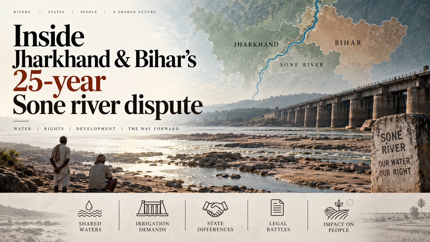
Why in the News
Bihar and Jharkhand have signed an inter State memorandum of understanding dividing Sone river water, with 5.75 million acre feet (MAF, the volume that would cover a million acres to a depth of one foot) going to Bihar and 2 MAF to Jharkhand.
Why did a 1973 allocation stop working after 2000?
- The river’s course: The Sone flows generally northward from its upper catchments in Madhya Pradesh, passes through Uttar Pradesh, runs along the Jharkhand Bihar boundary and joins the Ganga in Bihar.
- The original entitlement: The Bansagar Agreement of 1973, a tripartite agreement involving Madhya Pradesh and Uttar Pradesh, allocated 7.75 MAF of Sone water to undivided Bihar out of the total basin yield.
- Bifurcation split the basin unevenly: Jharkhand inherited the major upper catchment areas and the tributaries, and the lower riparian agricultural hubs stayed with Bihar.
- No formula followed the division: After the State was divided, no binding formula existed to apportion that allocation between the two successor States.
- Two decades of stalled mediation: Committees attempted mediation over the last two decades, and talks repeatedly broke down over reservoir height, land submergence and volumetric splits.
What does the new agreement actually settle?
- Jharkhand’s concession: Jharkhand agreed to specified reservoir water levels to minimise land submergence, backed by clear rehabilitation provisions.
- Bihar’s gain: Bihar receives additional water from the Indrapuri Barrage to irrigate farmland in its existing command.
- Jharkhand’s return: The pact enables new canal networks in the drought prone Palamu and Garhwa districts.
- What it unblocks: Long delayed irrigation, reservoir and river linking projects in the drought prone regions of both States are expected to move forward.
What does the pact unlock on the ground?
- The diversion structure: The Indrapuri Barrage across the Sone in Rohtas district, built in the late 1960s, is the primary structure diverting water into the canal system.
- The canal command: The Sone canal network irrigates the Shahabad agricultural belt of Rohtas, Bhojpur, Buxar and Kaimur districts.
- The southern belt: The agreement guarantees critical irrigation supplies to the Magadh belt of south Bihar, including Aurangabad.
- The constraint was legal, not physical: The barrage and its canals already existed, so what was holding back their full use was the missing share rather than any limit of the structure.
Why did the dispute stay politically live?
- No formal confrontation: The two States never reached a major State level confrontation over the water.
- An election season issue in Bihar: Leaders across party lines in the Shahabad and Magadh belts targeted the State government over water shortages in the Sone canal system during the summer sowing season.
- A displacement issue in Jharkhand: Leaders from Palamu and Garhwa raised the fear that raising the Indrapuri Dam’s height would submerge agricultural land and displace thousands without fair compensation.
Challenges to the Sone water sharing arrangement
- A memorandum is not an award: The States have signed an administrative understanding rather than obtained a tribunal award under the Inter-State River Water Disputes Act, 1956, so no adjudicated instrument stands behind it. Eg. The Punjab Termination of Agreements Act, 2004 showed that a State legislature can move to repudiate water sharing agreements it had signed.
The Fix: Constitute a joint control board with gauged and publicly reported releases at the barrage, so compliance is a matter of record rather than of assertion. - A fixed volumetric split against a variable yield: The shares are stated in absolute volume even though the Sone is rain fed and its annual yield swings with the monsoon. Eg. The parent entitlement was itself fixed on basin yield estimates made in the early 1970s.
The Fix: Convert the split into proportional shares of the actual annual yield, with a stated rule for how a deficit year is shared. - Canal efficiency decides who receives water: An allocation at the barrage does not survive conveyance losses, so tail end farmers get less than the head reach whatever the agreement says. Eg. The Sone canal system dates from the 1870s and still delivers through long unlined earthen channels.
The Fix: Line and modernise the main and distributary canals and meter deliveries at outlet level before the new water is credited to the command area. - Rehabilitation commitments outrun delivery: Submergence limits rest on rehabilitation provisions whose record in Indian reservoir projects is poor. Eg. Families displaced by the Sardar Sarovar project on the Narmada were still contesting resettlement decades after the dam was cleared.
The Fix: Publish a dated rehabilitation schedule with land for land entitlements settled before reservoir levels are raised. - Groundwater has filled the gap: Farmers in the command have substituted diesel pumped groundwater for unreliable canal supply, and the pact says nothing about that substitution. Eg. Water tables across south Bihar fall sharply in the summer months when canal supply is weakest.
The Fix: Sequence canal restoration with conjunctive use planning so surface deliveries replace pumping instead of adding to it.
Conclusion
An administrative understanding has closed a gap that two decades of mediation could not, and it has done so without creating any body able to enforce it. Compliance now rests on the continued willingness of two State governments, which is the same condition under which the previous arrangement failed. The marker to watch is whether releases are gauged and published, since an unmeasured share is what allows a settled formula to unravel quietly.
Back2Basics: Sone river
- Source and course: The Sone rises on the Amarkantak plateau in Madhya Pradesh, close to the source of the Narmada, and flows north east to meet the Ganga.
- Its rank: It is the second largest of the Ganga’s southern tributaries after the Yamuna.
- Its regime: The river is rain fed, so it carries heavy monsoon flow and shrinks sharply through the dry season.
- Its tributaries: The North Koel, the Rihand and the Kanhar are among its principal tributaries.
[2024, GS3, 15 marks] What are the major challenges faced by Indian irrigation system in recent times? State the measures taken by the government for efficient irrigation management.
