💥Mains Ready By December. Smash Mains & Smash PYQ Admissions Open

GS Paper: GS3-23.Security Challenges and their Management in Border Areas – Linkages of Organized Crime with Terrorism.

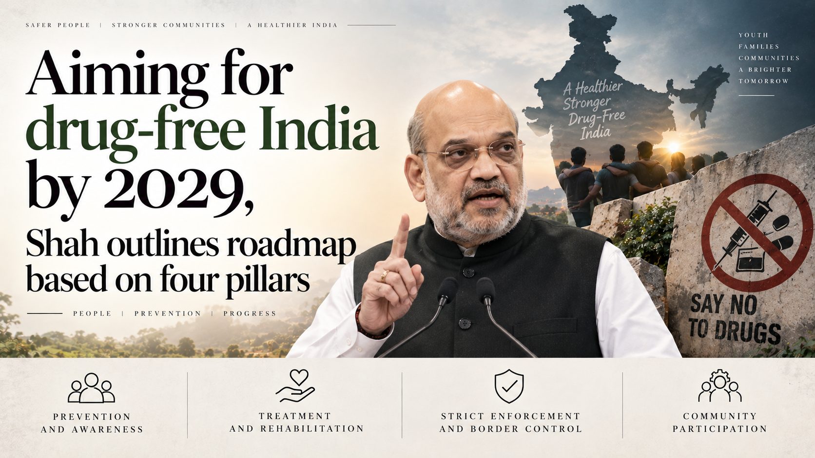
  • Aiming for drug-free India by 2029, Shah outlines roadmap based on four pillars

    Aiming for drug-free India by 2029, Shah outlines roadmap based on four pillars

    Why in the News

    The Union Home Minister has released a three-year roadmap and a vision document for narcotics control, targeting a drug-free India by 2029. The roadmap declares 2026-29 a mission-mode period and shifts enforcement doctrine from seizure-centric action to network-centric enforcement.

    What is the doctrinal shift the roadmap announces?

    1. From seizures to networks: Enforcement moves from seizure-centric action to network-centric enforcement aimed at kingpins, associates, distributors and suppliers.
    2. Investigation runs both ways: Cases are to be worked bottom-to-top and top-to-bottom, so a street-level recovery is pursued upward to the financier and a financier is pursued downward to distribution.
    3. Three stated outcomes: The strategy is to be judged on supply reduction, demand reduction and harm reduction.

    What makes the 2026-29 period different from earlier drives?

    1. Mission mode with owners: Every goal is to carry a timeline and a responsible ministry, so a missed target has a named holder.
    2. Measurement is built in: Goals carry measurable outcomes, quarterly reviews and result-based accountability.
    3. The stated contrast: Action before 2014 is described as taken in bits and pieces and in silos, limited to small seizures.
    4. The seizure record cited: From 2004 to 2014, 26 lakh kg of narcotic and psychotropic substances were seized. From 2014 to July 2026 the figure was over 1.19 crore kg.

    What institutional machinery already exists?

    1. A four-tier coordination mechanism: The Narco Coordination Centre (NCORD) mechanism was created in 2019 and operates at the executive, State and district levels.
    2. Dedicated State-level task forces: Anti-Narcotics Task Forces have been constituted in every State and Union Territory, with local police linked into the national strategy.
    3. A joint decision forum: A Joint Coordination Committee was formed in 2019 for Central agencies and State governments to act together on major drug networks, their international connections and operational gaps.
    4. The central agency was rebuilt: The Narcotics Control Bureau has been strengthened through cadre reorganisation and an increase in manpower, zonal presence and operational capability.

    What does the demand side of the strategy rest on?

    1. A national helpline: The MANAS helpline on 1933 was introduced to support persons with drug addiction.
    2. Four interventions linked to enforcement: Awareness, treatment, rehabilitation and livelihood opportunities have been tied into the anti-narcotics campaign rather than run separately from it.

    Challenges to a drug-free India by 2029

    1. Synthetic drugs move production inside the country: Precursor chemicals diverted from a large legitimate pharmaceutical industry let manufacture happen domestically, so border interdiction misses the source. Eg. Mephedrone manufacturing units have been dismantled in Gujarat, Maharashtra and Rajasthan in successive operations.
      The Fix: Place named precursor chemicals under end-use licensing, with mandatory sales reporting by manufacturers to the Narcotics Control Bureau.
    2. Maritime consignments dwarf land recoveries: Container traffic carries volumes that drone and border interdiction cannot match. Eg. Nearly 3,000 kg of heroin was seized in a single consignment at Mundra Port, Gujarat, in September 2021.
      The Fix: Extend risk-based non-intrusive container scanning to every major port instead of sample checking.
    3. Consumption is punishable, which deters treatment-seeking: A user who comes forward risks prosecution for the act that brought them to treatment. Eg. Section 27 of the Narcotic Drugs and Psychotropic Substances Act, 1985 punishes consumption, and the immunity under Section 64A applies only to an addict who volunteers for treatment.
      The Fix: Make the Section 64A immunity operate automatically on enrolment in a recognised de-addiction facility, certified by the facility rather than by the police.
    4. Demand reduction sits in a different ministry: Treatment and rehabilitation are run outside the ministry running enforcement, so targets and review cycles do not align. Eg. The Nasha Mukt Bharat Abhiyaan, launched in 2020, is run by the Ministry of Social Justice and Empowerment.
      The Fix: Bring demand reduction targets into the same quarterly review as enforcement targets, reported in a single format.

    Conclusion

    Counting seizures measures effort, and dismantling networks measures result. The second is far harder to demonstrate from public data, because a network that stops operating produces no headline recovery. Nothing announced commits the government to publishing the baseline against which the 2029 target will be judged. Whether the vision document’s targets and the findings of the quarterly reviews are placed in the public domain is the marker to watch.

    Back2Basics

    1. Narcotics Control Bureau: The apex coordinating agency for drug law enforcement in India, functioning under the Ministry of Home Affairs.
    2. Statutory basis: It was constituted in 1986 under Section 4(3) of the Narcotic Drugs and Psychotropic Substances Act, 1985.
    3. Function: It coordinates action between Central and State enforcement agencies and collects and disseminates drug trafficking intelligence.
    4. International role: It is India’s nodal point for obligations under the United Nations drug control conventions and for liaison with foreign drug enforcement agencies.

    [2018, GS3, 15 marks] India’s proximity to two of the world’s biggest illicit opium-growing states has enhanced her internal security concerns. Explain the linkages between drug trafficking and other illicit activities such as gunrunning, money laundering and human trafficking. What counter-measures should be taken to prevent the same?”

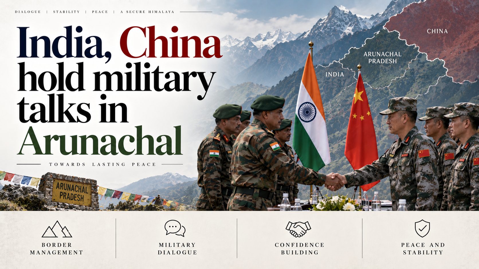
  • India, China hold military talks in Arunachal

    India, China hold military talks in Arunachal

    Why in the News

    The Indian and Chinese Armies have held their first Corps Commander-level meeting in the Eastern Sector, at the Vacha-Damai Border Personnel Meeting Point in Arunachal Pradesh.

    What is a Border Personnel Meeting Point?

    1. A designated meeting place on the Line of Actual Control: Border Personnel Meeting Points are fixed locations along the Line of Actual Control (LAC) where troops and local commanders of the two armies meet face to face on agreed dates.
    2. The lowest rung of the border management architecture: They handle local incidents, transgressions and ceremonial exchanges, sitting below the diplomatic and Special Representatives channels that handle the boundary question itself.
    3. Five existed before this round: Chushul and Daulat Beg Oldi in Ladakh, Nathu La in Sikkim, and Bum La and Kibithu in Arunachal Pradesh.

    What is new about this meeting?

    1. The first at this level in the Eastern Sector: Corps Commander-level meetings between the two armies have largely been held at the Chushul-Moldo Border Meeting Point in eastern Ladakh, particularly after the Galwan Valley clashes.
    2. A mechanism built for one sector applied to another: Until now the Corps Commander-level channel had primarily been used to address military issues and tensions along the western sector in Ladakh.
    3. The delegation was joint rather than purely Army: The Commander of 3 Corps led a 12-member delegation that included an Inspector-General of the Indo-Tibetan Border Police (ITBP), the force that mans the border posts along the LAC.
    4. The formation that owns the ground led it: 3 Corps, headquartered at Rangapahar in Nagaland, is responsible for operational areas along the LAC in Arunachal Pradesh, alongside the Tezpur-based 4 Corps.

    What friction prompted the meeting?

    1. Reported activity in a specific pocket: Chinese activity and alleged incursions have continued in the Taksing area of Upper Subansiri district despite two high-level engagements since July.
    2. Conflicting claims and a build-up along the line: The meeting takes place against conflicting territorial claims and a military build-up along the LAC, which is the standing condition the local mechanism exists to manage.
    3. Operational readiness reviewed at the same time: The Army Chief recently visited the headquarters of 3 Corps, where formation commanders briefed him on operational readiness and on measures being taken to strengthen combat capabilities.

    How has the border dialogue architecture been built up this year?

    1. The diplomatic tier met first: The two countries held the 36th meeting of the Working Mechanism for Consultation and Coordination on India-China Border Affairs on 6 August.
    2. The political tier followed three weeks later: The 25th round of talks between the Special Representatives on the Boundary Question was held in Beijing on 26 August. India was represented by the National Security Adviser, and the Chinese delegation was led by the Director of the Office of the Central Commission for Foreign Affairs.
    3. Two new meeting points and new hotlines were agreed: The eight-point outcome document provided for two additional Border Personnel Meeting Points and new hotlines to strengthen communication and confidence-building along the frontier.
    4. The new points cover the sectors that lacked them: One of the newly proposed points will be in the Eastern Sector under the operational responsibility of 3 Corps, and the other in the Central Sector. Joshimath is not among the newly identified points.

    Challenges to the border personnel meeting mechanism

    1. Local commanders have no agreed line to refer to: The LAC has never been jointly delineated on maps, so a meeting on a transgression begins with each side asserting a different alignment. Eg. The two countries exchanged maps of the middle sector around 2001 and the process stalled before the western and eastern sectors were taken up.
      The Fix: Resume the map exchange sector by sector, beginning with the pockets where transgressions recur, so a local meeting has a common reference document.
    2. Infrastructure asymmetry sets the terms of any local talk: China’s road, rail and airfield network across the plateau allows a faster build-up than Indian logistics in the eastern frontier permit. Eg. The Lhasa-Nyingchi railway, opened in 2021, runs close to the eastern frontier.
      The Fix: Complete the Arunachal Frontier Highway and the all-weather tunnel network on the Indian side, so force posture does not depend on seasonal road access.
    3. Facts on the ground change between meetings: Dual-use border villages and permanent construction alter the position a subsequent meeting is negotiating over. Eg. China has built clusters of border villages opposite the Arunachal Pradesh frontier.
      The Fix: Accelerate delivery under the Vibrant Villages Programme, so the Indian side of the frontier retains a resident population that anchors the claim.
    4. The mechanism has no calendar of its own: Meetings convene when one side requests them, so the channel is least available during the periods of tension it exists for. Eg. The extension to the Eastern Sector required a decision at the Special Representatives level rather than a local one.
      The Fix: Fix a mandatory minimum frequency for meetings at each point and a defined response window for a request raised outside it.

    Conclusion

    The dialogue architecture along the frontier has moved from a single-sector crisis channel to one that covers the eastern and central stretches as well. Whether that widening amounts to more than an additional venue depends on whether the two newly agreed meeting points and hotlines become operational, and how quickly a reported transgression is taken up through them. The immediate milestone is the BRICS Summit that India hosts in New Delhi from 11 to 13 September, which the Chinese President is expected to attend.

    Back2Basics

    1. Working Mechanism for Consultation and Coordination on India-China Border Affairs: A diplomatic-level institutional channel established in 2012 to manage peace and tranquility along the border between the two countries.
    2. Composition: It is led by joint-secretary-level officials of India’s Ministry of External Affairs and China’s Ministry of Foreign Affairs, with representatives of the defence establishments of both sides.
    3. Mandate: It coordinates on incidents along the LAC and prepares the ground for talks at the Special Representatives level, and it holds no authority to settle the boundary itself.

    [2024, GS3, 15 marks] India has a long and troubled border with China and Pakistan fraught with contentious issues. Examine the conflicting issues and security challenges along the border. Also give out the development being undertaken in these areas under the Border Area Development Programme (BADP) and Border Infrastructure and Management (BIM) Scheme.”

  • China calls border generally stable after the 36th WMCC meeting

    Why in the news?

    China’s Foreign Ministry described the India-China border as generally stable, responding to reports of rising tensions in Arunachal Pradesh’s eastern sector. The statement followed the 36th meeting of the Working Mechanism for Consultation and Coordination on China-India Border Affairs, held the previous week. The exchange highlights how a diplomatic and military consultation mechanism, rather than a boundary settlement, is what currently manages face-offs along an undemarcated frontier.

    What is the Working Mechanism for Consultation and Coordination (WMCC) on China-India Border Affairs?

    1. About: The WMCC is an institutional mechanism, established in 2012, for diplomatic-level consultation and coordination on maintaining peace along the India-China border.
    2. Function: It provides a standing channel to communicate on border developments and defuse face-offs, and it does not itself negotiate the resolution of the boundary question.

    What is the Line of Actual Control (LAC)?

    1. About: The LAC is the notional line separating Indian-controlled and Chinese-controlled territory, and it is neither fully demarcated nor mutually agreed on the ground.
    2. Consequence: Because the boundary is undemarcated, patrols from the two sides at times face off against each other in areas of overlapping claims.

    What did the 36th WMCC meeting produce?

    1. Communication channels: The two sides agreed to maintain communication via diplomatic and military channels.
    2. Peace commitment: They agreed to jointly uphold peace and tranquillity in the border areas.
    3. Official framing: China’s Foreign Ministry described the situation as generally stable at the moment.

    What triggered the current concern in the eastern sector?

    1. Reported crossing: Reports last week suggested that Chinese People’s Liberation Army (PLA) troops crossed the LAC at Pukar La and Ollo in the Taksing circle of Upper Subansiri.
    2. State-level denial: On 7 August the Arunachal Pradesh Chief Minister denied reports of an incursion and said he would verify with the Army and local bodies.
    3. Indian framing: India’s Ministry of External Affairs (MEA) said the maintenance of peace and tranquillity in border areas was of utmost importance, and did not deny a reported rise in tensions since late July.
    4. Ground posture: The Army and the Indo-Tibetan Border Police (ITBP) are positioned to dominate the border and monitor Chinese activities.

    Why does the mechanism matter more than the label of stability?

    1. Undemarcated boundary: With no agreed line on the ground, incidents are inherent to patrolling and cannot be eliminated by declarations of stability.
    2. Existing protocols: Face-offs are resolved through existing mechanisms and protocols rather than through a settled boundary.
    3. Communication over settlement: The WMCC manages friction and keeps channels open, but it substitutes crisis management for a final resolution of the dispute.

    Conclusion

    The current status is that both sides publicly describe the border as generally stable and have agreed through the 36th WMCC meeting to keep diplomatic and military channels open. Reports of a PLA crossing in Upper Subansiri remain unconfirmed by officials. The next expected development is continued WMCC-level engagement and further border-area monitoring by the Army and the ITBP.

    Border Management with China: About

    1. Length and sectors: The India-China frontier runs about 3,488 km across three sectors, the western, middle, and eastern.
    2. Nature: The alignment follows the LAC, which is disputed and undemarcated in several stretches.
    3. Institutional layers: Border affairs are handled through the WMCC at the diplomatic level and the Special Representatives mechanism at the political level.

    Statutory and Agreement Framework Governing the India-China Border

    1. 1993 Agreement: Provided for maintaining peace and tranquillity along the LAC.
    2. 1996 Agreement: Established military confidence-building measures in the border areas.
    3. 2005 Protocol: Set modalities for implementing military confidence-building measures.
    4. 2012 mechanism: Created the WMCC as a standing consultation channel.
    5. 2013 Agreement: The Border Defence Cooperation Agreement laid down procedures to avoid escalation during face-offs.

    Government Initiatives for Border Areas

    1. Border Area Development Programme (BADP): Funds development of villages near international borders to improve access and living conditions.
    2. Border Infrastructure and Management (BIM) Scheme: Supports roads, fencing, floodlighting, and observation infrastructure along the borders.
    3. Vibrant Villages Programme: Targets comprehensive development of border villages, including those along the northern frontier, to check outmigration.

    Challenges in Border Management

    1. Undemarcated LAC: Differing perceptions of the line cause recurring patrol face-offs.
    2. Terrain and access: High-altitude terrain complicates infrastructure and rapid mobilisation.
    3. Infrastructure asymmetry: Faster construction on the Chinese side pressures Indian logistics.
    4. Grey-zone activity: Salami-slicing and forward patrolling test Indian positions below the threshold of conflict.
    5. Coordination: Multiple agencies guarding different stretches require tight inter-force coordination.

    Way Forward

    1. Accelerate infrastructure: Complete border roads, tunnels, and forward connectivity to match logistics needs.
    2. Strengthen mechanisms: Use WMCC and Special Representatives channels consistently to de-escalate.
    3. Border-area development: Expand BADP, BIM, and the Vibrant Villages Programme to anchor populations.
    4. Surveillance: Enhance ITBP and Army monitoring with technology-based domain awareness.

    “[2024 GS3 15m] India has a long and troubled border with China and Pakistan fraught with contentious issues. Examine the conflicting issues and security challenges along the border. Also give out the development being undertaken in these areas under the Border Area Development Programme (BADP) and Border Infrastructure and Management (BIM) Scheme.”

  • MHA bars renewable projects within 1 km of the border

    Why in the News

    The Ministry of Home Affairs (MHA) notified national security guidelines barring renewable energy projects within 1 km of the international border. The measure sets the security interest of border zones against the rapid build out of clean energy capacity.

    What do the new border guidelines mandate?

    1. 1 km ban: No solar, wind, or hybrid project is permitted within 1 km of the international border.
    2. Clearance zone: Projects up to 50 km from the border need prior security clearance.

    Which additional restrictions apply?

    1. Foreign staffing: Personnel from Pakistan, Bangladesh, and China face restrictions in these zones.
    2. Land transfer: Curbs apply to land transfer near sensitive stretches.

    Why is border area management the core concern?

    1. Line of Control and LAC: The guidelines cover both the Line of Control (LoC) and the Line of Actual Control (LAC).
    2. Surveillance risk: Large installations near the border can aid hostile mapping or interference.

    What is the trade off created?

    1. Clean energy loss: High irradiance border districts lose out on renewable investment.
    2. Execution friction: Layered clearances can slow project timelines.

    “[2016, GS3, 12.5 marks] Border management is a complex task due to difficult terrain and hostile relations with some countries. Elucidate the challenges and strategies for effective border management.”

  • [11th July 2026] The Hindu OpED: Terrorism’s data retreat hides emerging global threats

    PYQ Relevance[UPSC 2021] Analyse the complexity and intensity of terrorism, its causes, linkages and obnoxious nexus. Also, suggest measures required to be taken to eradicate the menace of terrorism.
    Linkage: The PYQ examines the evolving nature, drivers and counter-terrorism strategies against terrorism. The article builds on this by arguing that terrorism has transformed into decentralised, conflict-driven and digitally networked ecosystems, requiring a shift from reactive security measures to preventive state-building and institutional resilience.

    Mentor’s Comment

    The Global Terrorism Index (GTI) 2025 reported a significant decline in global terrorism, with 5,582 deaths across 2,944 attacks, reflecting a 28% fall in fatalities, a 22% decline in attacks, and improvements in the security landscape of 81 countries. However, the apparent statistical success has exposed a deeper strategic concern: terrorism is not disappearing but reorganising into decentralised, conflict-driven and digitally networked forms that conventional global indicators increasingly fail to capture.

    Why do declining global terrorism indicators present a misleading picture of security?

    1. Geographical concentration: Nearly 70% of global terrorism deaths are confined to five countries, Pakistan, Burkina Faso, Nigeria, Niger and the Democratic Republic of Congo.
    2. Organisational concentration: The threat is increasingly driven by a handful of organisations such as IS, JNIM, TTP, LeT and Al-Shabaab, indicating consolidation rather than disappearance of terrorism.
    3. Regional redistribution: Terrorism has retreated from many regions but intensified across fragile conflict theatres, particularly the Sahel, which now accounts for over half of global fatalities.
    4. Uneven security gains: Although 81 countries recorded improvement, the global decline largely reflects better security in stable regions rather than reduced terrorist capability.
    5. Misleading averages: Aggregate global indicators obscure localised escalation and encourage the mistaken belief that terrorism is steadily disappearing.

    Why is terrorism undergoing a structural transformation rather than a strategic decline?

    1. Decentralised networks: Terrorism has shifted from hierarchical organisations to autonomous cells and loosely connected affiliates.
    2. Digital radicalisation: Extremist recruitment, propaganda and operational coordination increasingly occur through online ecosystems instead of physical networks.
    3. Conflict dependence: Around 99% of terrorism-related deaths occur in countries already affected by armed conflict, making violence inseparable from state fragility.
    4. Border-centric operations: More than 60% of terrorist attacks occur within 100 km of international borders, reflecting growing dependence on poorly governed frontier regions.
    5. Adaptive resilience: Counter-terrorism operations fragment terrorist organisations but rarely eliminate their ideological and organisational capacity to regenerate.
    6. Operational normalisation: Terrorism is increasingly becoming a chronic feature of conflict zones rather than an exceptional global security crisis, reducing international attention despite persistent violence.
    7. Cross-border sanctuaries: Pakistan illustrates how safe havens continue to sustain transnational terrorism despite sustained counter-terrorism operations.

    What do contemporary terrorism hotspots reveal about the changing geography of terrorism?

    1. Burkina Faso: It has emerged as the world’s deadliest terrorism hotspot, illustrating the shift of global terrorism towards the Sahel.
    2. Pakistan: The resurgence of Tehrik-e-Taliban Pakistan (TTP) shows that terrorist organisations continue to expand despite declining global attack numbers.
    3. Nigeria: Boko Haram and ISWAP demonstrate how weak governance sustains long-term insurgencies.
    4. Niger: Political instability and military coups have weakened state capacity against extremist organisations.
    5. Democratic Republic of Congo: Armed conflict continues to fuel terrorist violence despite improvements elsewhere.
    6. Sahel Region: The region now accounts for over half of global terrorism deaths, making Africa the new epicentre of global terrorism.

    Why has the traditional counter-terrorism paradigm become inadequate?

    1. Military bias: Eliminating terrorists does not remove the governance failures that continuously generate extremism.
    2. Leadership decapitation: Killing leaders fragments organisations but produces smaller and harder-to-detect affiliates.
    3. National responses: Domestic strategies struggle against cross-border financial, ideological and logistical networks.
    4. Technology gap: Security agencies remain better prepared for physical organisations than encrypted digital radicalisation.
    5. Reactive approach: Counter-terrorism continues to respond to attacks instead of preventing the ecosystems that produce them.

    Why is statistical success producing strategic complacency?

    1. Misleading metrics: Falling attacks measure frequency but not organisational resilience.
    2. False optimism: Improving global rankings reduce political urgency for long-term institutional reforms.
    3. Invisible evolution: Smaller decentralised organisations generate fewer spectacular attacks but remain operationally resilient.
    4. Persistent conflict: Ongoing wars continue to replenish extremist ecosystems despite declining global averages.
    5. Strategic mismatch: Governments celebrate declining numbers while terrorist organisations continuously adapt their methods.

    What should next-generation counter-terrorism architecture prioritise?

    1. State capacity: Strengthen policing, justice delivery and local administration.
    2. Conflict prevention: Address armed conflict as the principal enabler of terrorism.
    3. Border governance: Improve surveillance, intelligence integration and frontier administration.
    4. Digital resilience: Disrupt online recruitment, financing and propaganda ecosystems.
    5. International cooperation: Expand intelligence sharing and coordinated action against transnational networks.

    Conclusion

    The central challenge confronting global security is not the persistence of terrorism but its transformation. Declining attacks and fatalities represent a quantitative improvement, whereas terrorism has reorganised into decentralised, conflict-driven and digitally networked ecosystems. Counter-terrorism success must therefore be measured not by annual attack counts but by the ability of states to build resilient institutions, prevent conflict and dismantle the conditions that allow violent extremism to regenerate.

  • India’s eastern border affected by flow of opium from Myanmar

    Why in the News?

    The Narcotics Control Bureau (NCB) released its 2026 annual report on 27 June 2026, tabled by Home Minister Amit Shah. The report documents Myanmar’s emergence as the primary global opium source following the Taliban’s 2022 ban on drug cultivation in Afghanistan. Infact, India’s northeastern border corridor is identified as the most direct and porous entry point for this expanding production base. 

    What change in the global narcotics supply chain has created new pressure on India’s northeastern borders?

    1. Taliban-imposed ban: The Taliban government’s 2022 ban on drug cultivation in Afghanistan eliminated the world’s largest opium producer from the supply chain, creating a vacuum in global opium supply.
    2. Myanmar’s replacement role: Myanmar filled this vacuum rapidly. The NCB’s 2026 annual report identifies Myanmar as the alternative global opium source, with consequences already visible along India’s eastern borders.
    3. Scale of cultivation expansion: Myanmar’s illicit opium cultivation expanded by approximately 56% between 2021 and 2023. The area under poppy cultivation reached 45,200 hectares.
    4. Golden Triangle transformation: Myanmar’s Golden Triangle has expanded beyond its traditional opiate role. Shan State now produces both opium and methamphetamine (Yaba), making it a major poly-drug hub.
    5. Manipur corridor as primary entry point: National Highway-102 through Manipur is the main land route for heroin and methamphetamine into India.
    6. Secondary corridor via Mizoram: Champhai in Mizoram provides the second major trafficking route via Myanmar’s Chin State. Drugs are routed through Assam’s Barak Valley via Aizawl and adjoining road networks.

    How have India’s northeastern states been transformed from transit zones into active narcotics staging grounds?

    1. Porous border mechanisms: The Free Movement Regime (FMR) along the India-Myanmar border and unfenced border stretches have converted the Northeast from a transit route into a distribution hub.
    2. States bearing frontline exposure: The NCB report specifically identifies that Manipur, Mizoram and Nagaland face the highest exposure due to increased drug production in Myanmar.
    3. Mizoram’s seizure data: Mizoram seized 1,477 kg of amphetamine-type stimulants (ATS) in 2025 out of the national total of 3,485 kg.
    4. Manipur’s seizure data: Manipur accounted for 535 kg in recoveries from other reported states. Delhi (454 kg), Gujarat (308 kg), and Karnataka (164 kg) reported significant quantities, demonstrating that narcotics originating from the northeast are penetrating deep into the hinterland.
    5. Distribution geography: Drugs move through the Barak Valley to Punjab, Gujarat and Maharashtra, making the Northeast a distribution node rather than a consumption centre.

    What does the drone-based trafficking data reveal about the operational maturity of trafficking networks?

    1. Five-fold increase from Pakistan border: Drone-based drug trafficking from across the Pakistan border into India has increased five-fold over the past five years, particularly in Punjab, demonstrating aerial circumvention of border controls.
    2. Incident trajectory (NCB data): Drone trafficking incidents surged from 3 in 2021 to 35 in 2022, 28 in 2023, 178 in 2024, and 305 in 2025, This is a 100-fold increase in incident count over five years.
    3. Seizure volume in 2025: In 2025, drone-related cases resulted in the seizure of 468 kg of narcotics, a 96% increase in quantity over 2024. Punjab recorded 298 cases and 461 kg seized.
    4. UAV sophistication: Trafficking networks are using unmanned aerial vehicles (UAVs) to circumvent traditional border controls, the NCB stated.
    5. Additional reporting states: Geographical spread: Rajasthan and Jammu & Kashmir also reported drone-related trafficking incidents.

    Where does the structural vulnerability in India’s border architecture lie and why cannot existing mechanisms address it?

    1. The FMR design conflict: The FMR facilitates movement of border communities. This objective conflicts with effective narcotics interdiction.
    2. Unfenced stretches: Drugs are smuggled through unfenced and porous stretches of the border.
    3. Geographic chokepoint: National Highway No. 102 through the Manipur corridor, the Champhai route in Mizoram carry both legal trade and illicit narcotics, making interception difficult.
    4. Ethnic armed group control: The poly-drug production in Myanmar is primarily concentrated in areas controlled by ethnic armed groups in Shan State. These groups operate outside the reach of both the Myanmar state and Indian border enforcement, making source-side interdiction impossible.
    5. South Asian arm of Afghan trade: The NCB specifically identifies that the South Asian arm of the Afghan drug trade flows through Pakistan into India via both the land frontier (Punjab, Rajasthan) and the maritime frontier (Gujarat, Maharashtra coastlines).

    Conclusion

    Myanmar’s rise as the world’s alternative opium supplier has created a structural narcotics challenge for India. The Northeast has become an active distribution hub rather than merely a transit corridor. Drone-enabled trafficking further weakens conventional border controls. Addressing the challenge requires technology-driven surveillance, calibrated reforms to the FMR and stronger cooperation with Myanmar.

    PYQ Relevance

    [UPSC 2018] India’s proximity to two of the world’s biggest illicit opium-growing states has enhanced its internal security concerns. Explain the linkages between drug trafficking and other illicit activities such as gunrunning, money laundering, and human trafficking. What countermeasures should be taken to prevent the same?

    Linkage: The PYQ examines the internal security implications of cross-border drug trafficking and its nexus with organised crime. The article explains how Myanmar-origin narcotics trafficking through India’s northeastern border has become a major cross-border security challenge.

  • Myanmar Replaces Afghanistan as Major Opium Source

    Why in News?

    The NCB Annual Report 2026 states that after the Taliban’s 2022 ban on opium cultivation in Afghanistan, Myanmar has become a major global opium source, increasing drug trafficking along India’s eastern borders.

    Key Highlights

    • Myanmar’s illicit opium cultivation increased by 56% (2021 to 2023), reaching 45,200 hectares.
    • The Manipur corridor (NH-102) is the primary route for heroin and methamphetamine entering India.
    • Champhai (Mizoram) is another major trafficking route via Myanmar’s Chin State.
    • The Golden Triangle (Myanmar, Laos, Thailand) has become a major hub for opium and methamphetamine (Yaba) production.

    Border Security Concerns

    • Porous India-Myanmar border and the Free Movement Regime (FMR) facilitate cross-border trafficking.
    • Northeastern states, especially Manipur, Mizoram and Nagaland, are increasingly used as transit and distribution hubs.

    Drone-Based Trafficking

    • Drone smuggling from Pakistan rose from 3 incidents (2021) to 305 incidents (2025).
    • In 2025, 468 kg of narcotics were seized through drones, with Punjab accounting for 298 cases.

    Other Trafficking Routes

    • Eastern Route: Myanmar → Manipur/Mizoram → Assam → Rest of India.
    • Western Route: Afghanistan → Pakistan → Punjab/Rajasthan.
    • Maritime Route: Pakistan → Gujarat/Maharashtra via fishing vessels.

    Government Response

    • Enhanced border surveillance and drone detection.
    • Intelligence-led operations by the Narcotics Control Bureau (NCB).
    • Increased international cooperation against cross-border narcotics trafficking.

    Prelims Facts

    • Golden Triangle: Myanmar, Laos, Thailand.
    • Golden Crescent: Afghanistan, Pakistan, Iran.
    • Yaba: Methamphetamine + caffeine tablets.
    • FMR: Allows border residents to cross the India-Myanmar border without a visa within prescribed limits.