Why in the News
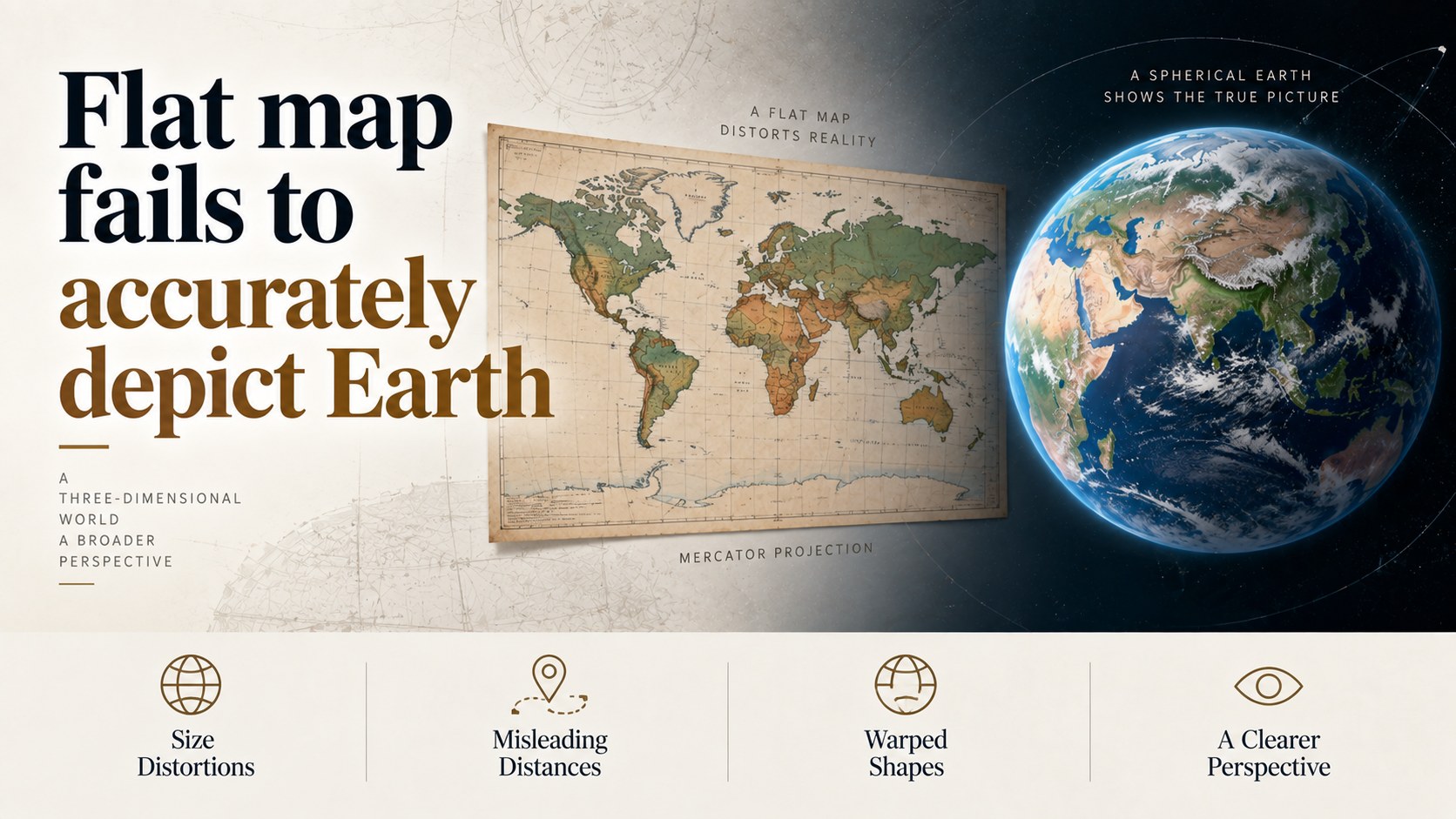
- The UN General Assembly has adopted a resolution encouraging a shift from the Mercator projection towards the Equal Earth projection.
- 164 countries, including India, supported the resolution.
- The United States voted against, while six countries abstained.
- The resolution is non-binding.
- The debate centres on how world maps represent the relative size of different regions, particularly Africa.
What is a Map Projection?
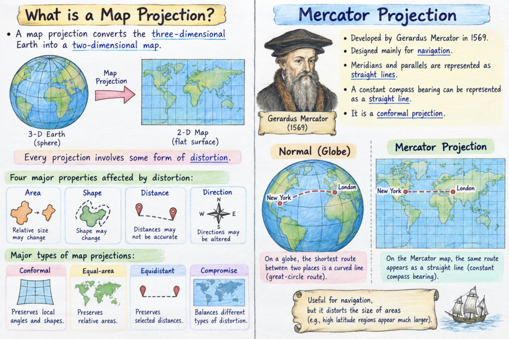
- A map projection converts the three-dimensional Earth into a two-dimensional map.
- Every projection involves some form of distortion.
- Four major properties are: Area, Shape, Distance, Direction
- Major types include:
- Conformal: Preserves local angles and shapes.
- Equal-area: Preserves relative areas.
- Equidistant: Preserves selected distances.
- Compromise: Balances different types of distortion.
Mercator Projection
- Developed by Gerardus Mercator in 1569.
- Designed mainly for navigation.
- Meridians and parallels are represented as straight lines.
- A constant compass bearing can be represented as a straight line.
- It is a conformal projection.
Major Limitation
- Areas become increasingly exaggerated towards the poles.
- Greenland and Antarctica therefore appear much larger than their actual relative size.
- This can visually distort perceptions of the geographical size of regions.
Equal Earth Projection
- Developed in 2018.
- It is an equal-area projection.
- Preserves the relative area of landmasses.
- Particularly useful for:
- Population distribution
- Climate data
- Land-use mapping
- Resource distribution
- It sacrifices some accuracy in shape and distance.
Which Projection for Which Purpose?
- Navigation → Mercator or other conformal projections.
- Statistical/thematic maps → Equal-area projections such as Equal Earth.
- General world maps → Robinson or Winkel Tripel.
- Polar regions → Azimuthal projections.
Challenges
- UN resolutions are not legally binding.
- Digital mapping systems continue to rely heavily on Mercator-derived projections.
- Changing a projection does not eliminate distortion; it only changes which property is prioritised.
- Therefore, maps should clearly mention the projection and its principal purpose.
Way Forward
- Use projection according to purpose, rather than adopting one universal map.
- Provide equal-area options in government statistical and mapping platforms.
- Clearly mention the projection used on published maps.
- Improve geographical literacy by teaching the limitations of different projections.
Prelims Pointers
- Compromise projections → Balance multiple distortions.
- Mercator → Conformal projection.
- Mercator → Developed in 1569.
- Mercator’s major use → Navigation.
- Equal Earth → Equal-area projection.
- Equal-area projection → Preserves relative areas.
- Geostationary ≠ Geosynchronous is a separate orbital concept, not a map projection.
- No flat map → Can simultaneously preserve area, shape, distance and direction perfectly.
