Why in the News
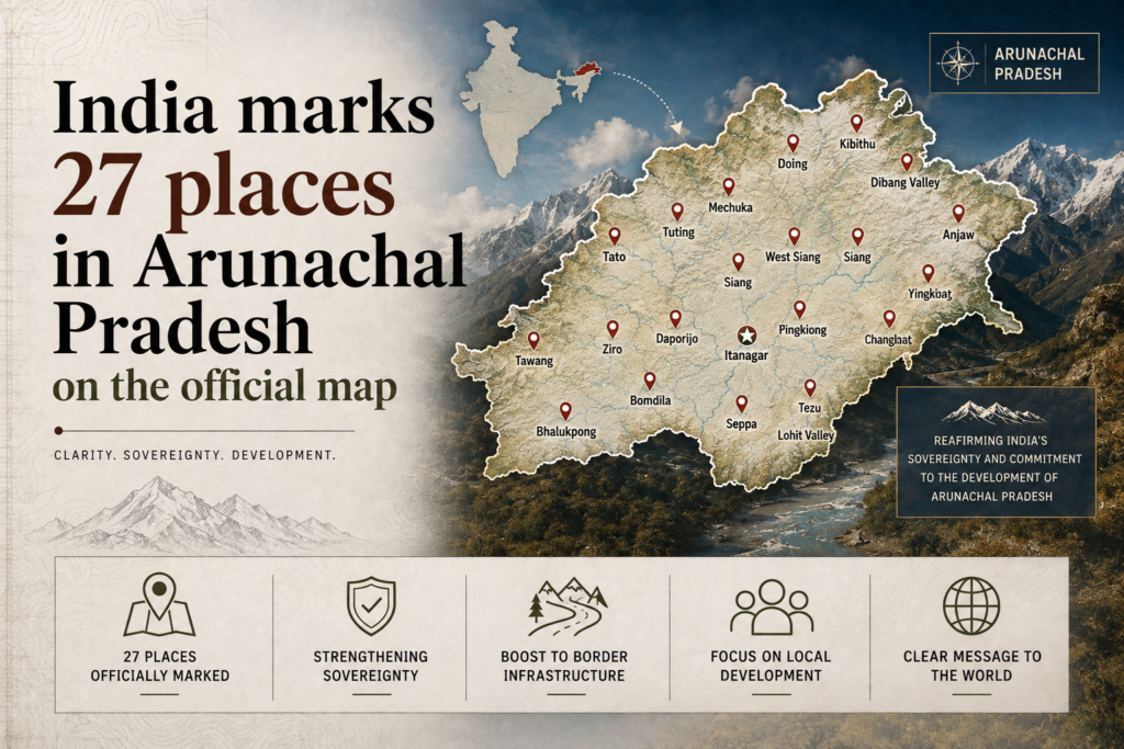
India officially marked 27 places in Arunachal Pradesh with standard names on Survey of India maps, responding to China’s attempts to rename locations in the State.
What is the Cartographic Dispute?
- China: Calls Arunachal Pradesh Zangnan and periodically assigns Chinese names to locations.
- India: Rejects China’s claims and maintains that Arunachal Pradesh is an integral part of India.
Strategic Locations
- Long Ju: Site of a 1959 India China boundary confrontation.
- Thag La: Strategic ridge associated with the 1962 India China War.
Why Does Naming Matter?
- LAC: Reinforces India’s position along the disputed Line of Actual Control.
- Sovereign record: Official mapping creates a formal cartographic record of India’s territorial claims.
- Information warfare: Place naming is also a tool of strategic signalling and narrative competition.
What Remains Unresolved?
- The India China boundary dispute remains unsettled despite diplomatic and military negotiations.
- Cartographic measures do not by themselves alter the ground position or resolve the boundary.
Back2Basics: Survey of India
- Status: India’s national mapping agency and one of the oldest scientific departments of the Government of India.
- Ministry: Department of Science and Technology.
- Role: Prepares official topographic and boundary maps.
