| Smash 2025 FLT 11 13. In recent times, India’s land reform efforts have focused on technological solutions. Though they have improved land administration, they have failed to address the structural challenges that perpetuate India’s land-related problems. Comment |
Land-use planning is the systematic assessment of land and water potential, alternatives for land use, and socio-economic conditions to select and adopt the best land-use options. The integration of technology makes land-use and areal planning more accurate, dynamic, and evidence-based.
Use of AI along with GIS & RS
- Automated Land-Use Classification – AI processes satellite imagery and GIS layers for faster, accurate land-use/land-cover mapping. Eg– ISRO’s FASAL project for crop classification.
- Predictive Urban Growth Modelling – AI analyses GIS–RS datasets to forecast urban sprawl, housing demand, and transport pressure. Eg– Bengaluru Smart City uses AI–GIS for traffic simulation.
- Disaster Risk Assessment – AI integrates RS hazard maps with GIS to predict floods, landslides, droughts. Eg– Uttarakhand flood risk mapping with AI-enabled RS data.
- Resource Optimization – AI processes GIS–RS data to identify optimal sites for renewable energy and infrastructure. Eg– MNRE Solar Atlas combined with AI for solar farm planning.
- Climate Change & Environmental Monitoring – AI detects deforestation, wetland shrinkage, and land degradation from RS imagery layered on GIS. Eg– AI models tracking Amazon deforestation using RS data (Brazil).
- Agriculture & Food Security – AI with GIS–RS predicts yields, crop stress, and pest infestations.
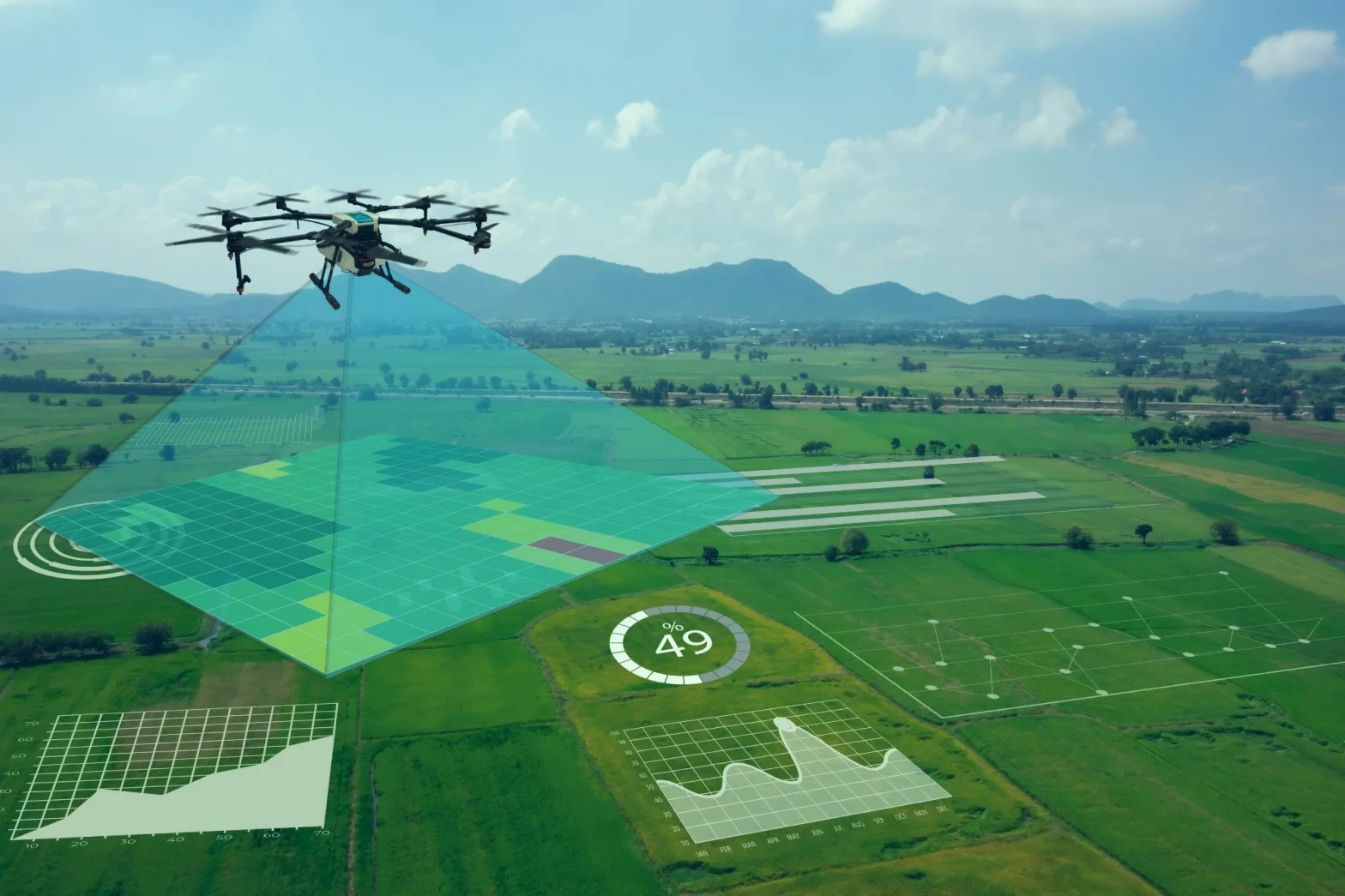
Use of Drones along with GIS & RS
- High-Resolution Mapping – Drones add centimeter-level accuracy to RS–GIS maps for micro-planning. Eg– Swamitva Yojana drone surveys for rural land records.
- 3D City & Infrastructure Models – Drone imagery combined with GIS builds “digital twins” of cities. Eg– Amaravati 3D city model for planning.
- Real-Time Disaster Monitoring – Drones provide live data layered on GIS hazard maps. Eg– Drone deployment in Assam floods for evacuation mapping
- Precision Agriculture – Drones complement RS crop data with farm-level imagery for soil health, irrigation, and spraying. Eg– Drone spraying under PM-KUSUM scheme.
- Asset & Environmental Monitoring – Drone imagery integrated with GIS tracks forests, coasts, pipelines, and solar parks. Eg– NTPC using drones for solar park inspections.
Challenges in Application of AI and Drones in Land-Use Planning
- High Cost of Technology – Import dependence for drones and AI hardware raises expenses; unaffordable for local bodies and farmers.
- Limited Skilled Workforce – Shortage of trained drone pilots, GIS analysts, and AI specialists in government and rural institutions.
- Regulatory Hurdles – DGCA’s strict norms on drone flying (permissions, no-fly zones) restrict large-scale adoption.
- Data Quality & Integration – Inconsistent cadastral maps, poor satellite resolution in some areas, and fragmented databases hamper AI accuracy.
- Privacy & Security Concerns – Risks of surveillance misuse, sensitive land data leaks, and cyberattacks on AI systems.
Way Forward
- Policy Support – Simplify drone regulations under DGCA; promote indigenous drone and AI manufacturing through PLI schemes.
- Capacity Building – Establish training centres for drone pilots, GIS analysts, and AI specialists in planning departments.
- Affordable Access – Subsidize drones for agriculture and rural land-mapping; encourage PPP models for cost-sharing. Eg- Drone Didi Initiative
India must move from manual surveys to intelligent mapping, ensuring technology becomes a people-centric enabler of sustainable land management.
Functional and sectional approach
AI
- Functions
- Data-driven decision making
- Automation of tasks
- Predictive analytics and forecasting
- Personalisation
- Accuracy and precision
- Enhanced efficiency and productivity
- Sections
- Agriculture
- Urbanisation
- Industries
Drones
- Functions
- Capability for real-time surveillance and imaging
- High-resolution mapping and spatial data collection
- Access to difficult or hazardous terrains
- Rapid deployment and flexibility in operations
- Sections
- Disasters