| PYQ Relevance [UPSC 2024] What role do environmental NGOs and activists play in influencing Environmental Impact Assessment (EIA) outcomes for major projects in India? Cite four examples with all important details. Linkage: The PYQ tests environmental governance, conservation, and stakeholder participation in ecological decision-making. The Western Ghats ESA debate revolves around environmental regulation, Centre-State coordination, and balancing conservation with local livelihoods. |
Mentor’s Comment
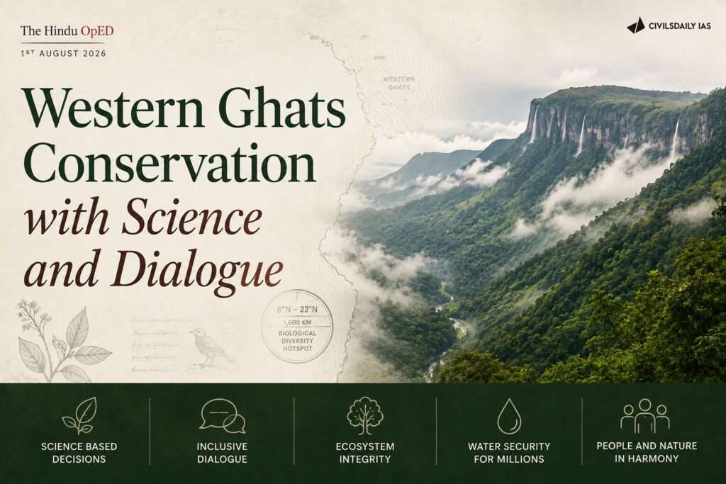
In July 2026, the fifth draft notification on the Western Ghats Ecologically Sensitive Area (ESA) lapsed, and the Union Environment Ministry extended the expert panel’s tenure by another year. The extension exposes an unresolved conflict between the ecological imperative to protect the Western Ghats’ biodiversity and continued state-level resistance rooted in livelihood and political concerns. Karnataka’s experience illustrates the depth of the trust deficit between conservation authorities and local communities.
What is The Western Ghats Ecologically Sensitive Area (ESA)?
- It is a proposed 56,825.7 sq. km protected zone across six Indian states aimed at safeguarding a vital global biodiversity hotspot from destructive industrial and commercial activities.
Key Features of the ESA Proposal
- Geographical Spread: Spans 56,825.7 sq. km across Karnataka (20,668 sq. km), Maharashtra, Kerala, Tamil Nadu, Goa, and Gujarat.
- Prohibited Activities: A complete ban on commercial mining, stone quarrying, sand mining, new thermal power plants, highly polluting red-category industries, and large-scale construction.
- Safe Activities: Farming, traditional plantations, and day-to-day local livelihoods remain fully protected and unaffected
Why has consensus on the Western Ghats ESA eluded the Centre and States for over a decade?
- WGEEP overreach and rollback: The Gadgil-led Western Ghats Ecology Expert Panel recommended ESA status for 142 talukas across 44 districts; state opposition triggered the Kasturirangan-led review, which cut the proposed coverage to 37% of the Western Ghats.
- Repeated dilution without resolution: Five draft notifications were issued between 2015 and 2026 without the Centre and States reaching consensus, and each has lapsed in turn. The Union Environment Ministry has reissued, for the seventh time in over a decade, its draft notification proposing an ecologically sensitive area (ESA) across the Western Ghats.
- Shift to piecemeal negotiation: A phased or State-wise finalisation clause introduced in the 2024 draft notification signals the Centre’s move away from a single uniform notification.
- Uneven state responses: Gujarat and Goa appear to have agreed to finalisation, Maharashtra has sought a fresh review, and discussions with Karnataka, Kerala and Tamil Nadu remain ongoing.
- Continued institutional deferral: The expert panel headed by Sanjay Kumar has had its tenure extended by a year after the fifth notification’s expiry, keeping the process open-ended.
Why does Karnataka continue to resist the ESA notification despite the ecological stakes?
- Scale of exposure: Karnataka has 10 Western Ghats districts, home to 23.4% of the State’s population, with 20,668 square kilometres identified for ESA declaration.
- Political continuity of opposition: Successive Karnataka governments, regardless of party, have opposed the proposal citing its impact on agriculture, plantations, mining and infrastructure.
- Rehabilitation ambivalence: Some residents near the Kali Tiger Reserve and Kudremukh National Park have accepted or considered rehabilitation packages, while others expect eventual relocation as village populations decline.
- Forest rights friction: Villages with granted forest rights still face restrictions on minor forest produce collection and agriculture, and non-tribal long-term residents have had forest rights claims rejected, including near the Balahalli Reserved Forest.
- Selective local support for regulation: Local officials and some communities support restricting environmentally harmful activities such as stone quarrying and unplanned tourism projects, including proposed forest ropeways, showing local opposition is not universal.
Does reliance on satellite imagery undermine the legitimacy of the ESA demarcation process?
- Satellite misclassification concern: Stakeholders across the study districts said satellite imagery cannot distinguish plantation crops such as arecanut, shade-grown coffee, rubber and coconut from natural forest cover.
- Absence of ground verification: No committee has physically visited the affected villages, reinforcing the perception of a top-down process.
- Historical carryover of restrictions: Communities report facing similar restrictions whenever an area was declared protected even before the WGEEP was constituted, deepening scepticism toward new notifications.
- Unaddressed misinformation: Many residents believe buffer zones extend 10 kilometres from core areas and fear eviction, a fear the administration has not addressed through direct engagement.
Should ecological imperatives override state and local resistance, or does doing so merely shift the conservation burden onto vulnerable communities?
- Transboundary ecology argument: Ecological systems do not respect administrative boundaries, so continued delay allows degradation to proceed while States retain control over ecologically critical land.
- Political will without local trust: The Union government’s push to finalise the notification reflects conservation intent but bypasses the trust deficit created by a non-transparent demarcation process.
- Indigenous communities as omission: The ESA framework has not explicitly included indigenous forest-dwelling communities, whose sustainable practices could support conservation rather than being treated as encroachment.
- Risk of biocultural loss: Excluding these communities as legitimate stakeholders risks losing not only their livelihoods but the biocultural diversity their presence sustains.
Conclusion
The Western Ghats ESA notification remains suspended not for lack of scientific consensus on ecological sensitivity, but because federal politics and a top-down survey methodology have failed to build local trust. Ecological systems transcend administrative boundaries, making further delay costly, yet the livelihood concerns of forest-dependent and agrarian communities cannot be dismissed as mere obstruction. Resolution requires ground-truthing beyond satellite imagery and the explicit inclusion of indigenous communities as conservation partners rather than regulatory subjects.
Back2Basics
Gadgil Committee and Kasturirangan Committee
Western Ghats Ecology Expert Panel (Gadgil Committee) and the High-Level Working Group (Kasturirangan Committee) are two official groups appointed by the Indian government to protect the environment and manage development in the Western Ghats. While Gadgil’s report aimed to declare the entire hill region as sensitive, Kasturirangan’s report reduced that protected area to 37%.
Gadgil Committee (2011)
- Coverage: Labeled 100% of the Western Ghats as an Ecologically Sensitive Area (ESA), split into three strict zones.
- Rules: Banned new large dams, mining, and polluting industries in top zones.
- Style: Demanded local, bottom-up governance through village bodies (Gram Sabhas).
Kasturirangan Committee (2013)
- Coverage: Labeled only 37% (about 60,000 square kilometers) of the Western Ghats as sensitive.
- Rules: Banned mining, quarrying, and thermal power plants in sensitive zones, but allowed some regulated development.
- Style: Left human settlements and plantations out of protected zones to support local farmers and people