💥Mains Ready By December. Smash Mains & Smash PYQ Admissions Open

GS Paper: GS3-19.Disaster and Disaster Management.

  • Behind Nepal floods, rising risk of glacier collapse (Explainer)

    Behind Nepal floods, rising risk of glacier collapse (Explainer)

    Why in the News

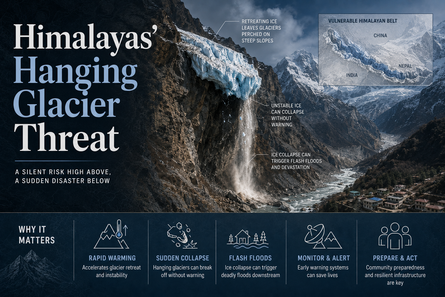
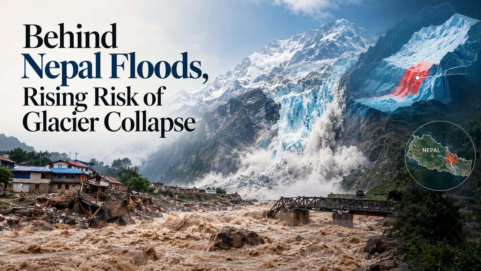
    Flash floods that swept through parts of Nepal and Tibet this week followed a glacial collapse in the Himalayas. The collapse sent a mass of ice and rock debris into the Lhende Khola and Bhote Koshi river system, and this debris reached inhabited valleys downstream. Glaciologists say such collapses are becoming more frequent because of faster warming in the Himalayas, and disaster planning for hydropower siting and early warning has not kept pace with this rising risk.

    What is a glacial collapse?

    1. Sudden mass failure of a glacier: A glacial collapse is the sudden detachment of a large mass of ice, rock and water from a glacier resting on a steep mountain slope.
    2. Triggered by geological and physical factors: Earthquakes, temperature changes and other physical changes unfolding within a glacier can trigger a collapse.

    How does a glacier’s own structure fail under stress?

    1. Formation builds a heavy, moving mass: Snow that survives several melting seasons compresses into firn (a granular midpoint stage between fresh snow and glacial ice) before recrystallising into the solid ice of a glacier.
    2. Gradient driven flow creates fracturing stress: Once a glacial mass is heavy enough it flows outward along the mountain gradient. This acceleration creates stress that exceeds the strength of the ice, and sustained movement eventually fractures it.
    3. Surface melting weakens the ice from within: Meltwater pools inside surface cracks over repeated freeze and thaw cycles. This repeated pressure eventually splits the ice all the way through.

    Why do wet base glaciers in the Himalayas pose a distinct collapse risk?

    1. Soft beds trap and channel meltwater: Where a glacier rests on soft mud or clay, trapped water moves through networks of cracks within the ice and travels toward the base.
    2. Subglacial tunnels concentrate large volumes of water: In wet base Himalayan glaciers, water collects at the base in large quantities and is occasionally connected by tunnels, so a collapse can release a concentrated volume of water at once.

    Why can a single glacial collapse trigger a second wave of flooding?

    1. Debris blocks the river before it breaks free: Collapsed ice and rock piles can block narrow river channels and form temporary natural dams downstream.
    2. A dam break repeats the flood: When such a temporary dam breaks under continuous pressure, it unleashes a second round of flooding, as happened in Nepal this week.

    Challenges to managing glacial collapse risk

    1. Rising baseline risk from faster warming: The incidence of glacier breakages in the Himalayas has increased because the region is warming faster than the global average. Eg. This week’s Nepal and Tibet collapse and debris flow into the Lhende Khola and Bhote Koshi system is one instance of this rising baseline risk. Fix. Expand year round remote seismic monitoring and high altitude early warning systems across the central Himalayan glacier belt, not only at individual high risk sites.
    2. Search and rescue capacity has not kept pace: More frequent and physically more demanding glacial collapse events place a growing burden on search and rescue missions in remote high altitude terrain. Eg. Reaching debris blocked valleys along the Bhote Koshi system after this week’s floods required search teams to operate in terrain cut off by the same collapse. Fix. Pre position high altitude search and rescue teams and equipment at seasonal staging points along known glacial risk corridors before the summer melt season.
    3. Critical infrastructure remains sited in high risk zones: Hydropower plants and other critical infrastructure continue to be built in areas exposed to glacial collapse and the flooding it can trigger. Eg. Downstream hydropower installations on Himalayan rivers were damaged in the 2021 Rishiganga Dhauliganga disaster in Uttarakhand, when an upstream ice and rock avalanche triggered a sudden flash flood. Fix. Make hazard zonation for glacial collapse and outburst flood risk a mandatory clearance requirement before critical infrastructure is sited in glacier fed river valleys.
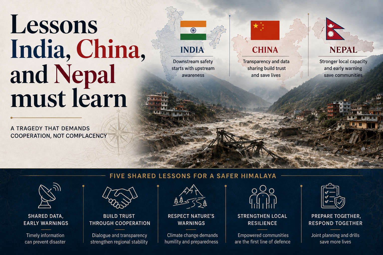
    4. Upstream glacial instability is not systematically shared across borders: Himalayan river systems cross national boundaries, but instability observed on a glacier upstream is not routinely communicated to downstream countries before a disaster strikes. Eg. This week’s collapse originated in Tibet and Nepal before its effects reached downstream valleys, showing how upstream instability in one country can affect communities in another with little warning. Fix. Establish a standing India, Nepal and China data sharing mechanism for real time glacial and river monitoring in shared Himalayan basins.

    Conclusion

    Himalayan glacial collapses are becoming more frequent as regional warming outpaces the historical baseline, and this week’s Nepal and Tibet floods are a fresh instance of that pattern. The next step for disaster managers is to convert scattered seismic monitoring and hazard mapping efforts into a standing, cross border early warning system, before the next collapse rather than after it.

  • [28th August 2026] The Hindu OpED: New-age fires

    [28th August 2026] The Hindu OpED: New-age fires

    Question (2024, GS3): “What is disaster resilience? How is it determined? Describe various elements of a resilience framework. Also mention the global targets of the Sendai Framework for Disaster Risk Reduction (2015-2030).”
    Linkage: The lack of a “distinct safety regime” for highly vulnerable environments like ICUs represents a core gap in India’s disaster resilience framework. This question challenges candidates to describe how to move from a structural vulnerability to a resilient system using global standards like the Sendai Framework.

    Mentor Comment

    India’s fire risk profile has shifted over the past 15 years from industrial facilities, large offices and mass gatherings toward residential buildings, hotels and hospitals, with electrical fires, driven by heavier appliance use, overloaded circuits and poor maintenance, now predominant. Intensive Care Units are especially vulnerable because of their oxygen rich environments, and this month back to back fires struck neonatal Intensive Care Units in Amravati, Maharashtra, and Chhindwara, Madhya Pradesh. Despite a string of near identical incidents since the 2024 Jhansi fire in which 18 newborns died, ICU fires have still not produced a single, distinct safety regime for the units most at risk.

    What happened in this month’s neonatal ICU fires?

    1. Amravati: The fire was extinguished within 30 minutes, but smoke proved fatal for three babies who were already being treated for complications, with a faulty ventilator suspected as the cause.
    2. Chhindwara: A short circuit in a warmer at the district hospital’s Neonatal Intensive Care Unit triggered a fire in which three newborns, only days old, suffered burns.

    Why should ICU fires be treated as a distinct safety category?

    1. They are sealed spaces that fill with smoke fast: Intensive Care Units are sealed compartments where smoke accumulates quickly, and in a Neonatal Intensive Care Unit patients cannot evacuate on their own, making regular evacuation drills essential.
    2. A safer design already exists on paper: A best case setup includes three independent exits, with at least two allowing horizontal evacuation, automatic sprinklers, independent power lines for major equipment, oxygen cylinder supports positioned away from electrical sockets, and fire drills held every two years.

    What regulatory response has followed past ICU fires?

    1. A professional body called for mandatory certification: Following an earlier Neonatal Intensive Care Unit fire in Delhi, the National Neonatology Forum called for mandatory fire safety certification for Neonatal Intensive Care Unit equipped hospitals, regular power audits and analogue addressable alarms.
    2. A named evacuation protocol followed: The same push produced a standard evacuation protocol, now known as RACE, for Rescue, Alarm, Confine, and Extinguish or Evacuate.
    3. New national guidelines offer a starting point: The 2026 National Guidelines on Fire and Life Safety in Healthcare Facilities can serve as a starting point for building ICU and Neonatal Intensive Care Unit specific safety standards.

    What risk do post fire investigations typically miss?

    1. Electrical harmonics is a largely unaudited factor: Neonatal Intensive Care Unit equipment is packed with electronic components that draw distorted current, which can silently overheat neutral wiring, transformers and loose connections without ever tripping a circuit breaker.
    2. Generic findings may be hiding the real cause: Post fire reports that cite generic “short circuits” or “technical faults” may be missing this harmonic driven degradation entirely, leaving the underlying risk unaddressed even after an inquiry closes the case.

    Challenges to ICU fire safety

    1. Fire safety certification is not uniformly enforced: Many hospitals, particularly outside metro cities, operate without a valid fire safety no objection certificate or lapse on renewal. Eg. Investigations after major hospital fires, including the Jhansi Neonatal Intensive Care Unit fire in which 18 newborns died, have repeatedly found expired or absent fire clearances. Fix. Link a hospital’s fire safety certificate renewal to its registration and accreditation status, so a lapsed certificate automatically suspends the facility’s licence to operate.
    2. Backup power for critical equipment is often shared, not independent: Ventilators, warmers and monitors frequently run off the same power lines as general hospital load, so a single fault can cut life support equipment. Eg. A suspected equipment fault caused this month’s Amravati Neonatal Intensive Care Unit fire. Fix. Mandate a dedicated, separately fused power line for every ICU bed’s life support equipment, independent of the hospital’s general electrical circuit.
    3. Frontline staff are rarely trained for ICU specific evacuation: Evacuating patients who cannot move on their own requires drilled procedures that most hospital staff never practise. Eg. Regular ICU evacuation drills remain the exception rather than the norm even at accredited hospitals nationally. Fix. Make a biennial ICU evacuation drill, as already recommended for Neonatal Intensive Care Units, a mandatory condition of hospital accreditation across all critical care units, not only newborn wards.

    Conclusion

    ICU and Neonatal Intensive Care Unit fires have recurred at roughly the same scale and for the same reasons since the 2024 Jhansi fire, with certification calls and evacuation protocols repeatedly following each incident without preventing the next one. Treating ICU fires as a distinct safety category, backed by independent power lines, harmonics audits and enforced certification, is what remains to convert a decade of incident specific responses into a standing safety regime.

  • Echoes of past, warning for future

    Echoes of past, warning for future

    Why in the News

    A flash flood in Nepal’s Bhotekoshi Trishuli river system has killed more than 350 people, left several hundred more missing, and damaged 35 motorable bridges, 45 suspension bridges and about 40 kilometres of roads across the affected corridor, Nepalese authorities said. Satellite imagery analysed by global agencies, including the Indian Space Research Organisation, points to a glacier collapse or rock and ice avalanche in Tibet that briefly blocked the river before a sudden, destructive release downstream. An earthquake was initially suspected as the trigger, but subsequent analysis has not supported that theory. The exact sequence, whether an ice block broke away from the glacier or a lake within the glacier breached, remains contested, and the disaster is the latest in a run of Himalayan cascade events that repeated monitoring gaps have failed to prevent.

    What is a Glacial Lake Outburst Flood?

    1. About: A Glacial Lake Outburst Flood is the sudden, large scale release of water when a lake formed by a melting glacier breaches, either because a block of glacial ice or rock falls into it or because accumulated stress in its containing moraine gives way.
    2. Mechanism: The resulting wave can overtop and breach the lake’s frontal moraine, releasing water, rock and debris that erode river banks, uproot trees and trigger further landslides as it moves downstream.
    3. A related event type: A cascade can also begin without a lake, when a large block of glacial ice or rock breaks away and falls directly into a river, as is currently suspected in the Nepal disaster.

    What is understood so far about what caused the Nepal disaster?

    1. A rock and ice avalanche is the leading explanation: The event is currently understood to have been triggered by a large block of glacier breaking off in the upper reaches of the Bhotekoshi river, known as the Trishuli in its lower course, though what caused the break is not yet clear.
    2. Heavy rainfall has been ruled out: No heavy rainfall was recorded in the area, which rules out an extratropical Western Disturbance as the trigger despite north India and the Himalayan region being under its influence at the time.
    3. The earthquake reading was reclassified: The United States Geological Survey first reported a 4.4 magnitude earthquake, then revised its assessment to say the seismic signal, later corrected to 5.2 magnitude, was generated by a glacial collapse and debris flow rather than an actual earthquake.
    4. Scientists are divided on the exact mechanism: One glaciologist has pointed out that no ice blocks are visible in videos of the disaster and suggested a breach in a “supra glacial lake” (a lake that forms within a glacier rather than at its foot, increasingly common as glaciers melt under climate change) as the more likely cause, a view a former national disaster management official has echoed.

    How does the Nepal disaster compare with past Himalayan cascade disasters?

    1. Kedarnath, 2013: Unusually heavy rainfall melted the Chorabari glacier and swelled the Mandakini river, causing flash floods and landslides across Uttarakhand, Himachal Pradesh and western Nepal that left nearly 6,000 people presumed dead, the most devastating of the four.
    2. Chamoli, 2021: A rock and ice avalanche broke away from a glacier, an estimated 27 million cubic metres of material, and fell into the Rishiganga river in Uttarakhand, killing more than 200 people.
    3. Sikkim, 2023: The collapse of nearly 14.7 million cubic metres of frozen moraine into the South Lhonak glacial lake generated a 20 metre high wave that breached the lake’s frontal moraine, releasing about 50 million cubic metres of water, eroding roughly 270 million cubic metres of sediment and triggering 45 secondary landslides that killed at least 55 people.
    4. Dharali, 2025: Days of continuous rain combined with terrain at nearly 6,900 metres above sea level triggered mudslides, debris slides and flash floods in Uttarakhand that killed at least 69 people.

    Why does the Himalayan region keep producing these cascading disasters?

    1. The ecosystem is already destabilised: A glaciologist heading a Himalayan research organisation’s Cryosphere group has described the entire Himalayan region as “out of balance” because of population pressure and climate change, with newer areas being exposed as glaciers retreat.
    2. A single trigger becomes a multi hazard chain: What begins as one event, extreme rainfall, a landslide or a lake overflow, quickly compounds into a chain reaction of bank erosion, added debris and further landslides, because the surging water in a narrow mountain valley has no way to disperse until the terrain flattens.
    3. The region is also earthquake prone: The Himalaya is among the most seismically dangerous regions in the world, and Nepal itself suffered a 7.2 magnitude earthquake in 2015, so rainfall, a landslide or seismic activity can each independently trigger a similar cascade.

    What early warning cooperation exists across the Himalayan region?

    1. Two regional mechanisms already exist: The World Meteorological Organisation’s South Asia Hydromet Forum brings together the region’s meteorological and hydrological agencies, while the South Asia Flash Flood Guidance System provides regional flood forecasting and guidance.
    2. These systems remain under scaled for the risk: Both need to be scaled up to allow greater sharing of data, forecasting expertise and early warning systems among Himalayan countries, since the current disaster crossed from Tibet into Nepal without any shared alert reaching people downstream in time.
    3. India and China share common ground despite other differences: The two countries are often aligned in climate negotiations despite their broader geopolitical disagreements, a common outlook that has not yet been converted into a shared India China Nepal early warning system for glacial and flood risk.

    Challenges to Himalayan glacier and flood monitoring

    1. The scale of what needs monitoring is enormous: The Indian Himalaya alone holds nearly 7,500 glacial lakes and about 15,000 glaciers, only some of which are tracked through remote sensing. Eg. Ground verification requires site visits that are feasible only between July and September because of terrain and weather. Fix. The National Disaster Management Authority’s National GLOF Risk Mitigation Programme, launched after the Sikkim disaster with an outlay of Rs 150 crore, is installing early warning systems at high risk glacial lakes across Sikkim, Uttarakhand, Arunachal Pradesh, Himachal Pradesh, Jammu and Kashmir and Ladakh, though it currently covers only 195 lakes against thousands identified.
    2. Early warning carries its own risk of being ignored or causing panic: Forecasting a glacier collapse accurately remains extremely difficult, and a warning that proves false can be counterproductive if residents who lack alternatives choose not to move regardless. Eg. Communities living near glacial lakes have historically stayed in place through repeated flood warnings because they have nowhere else to go. Fix. Pair early warning systems with pre identified relocation sites and compensation, so a warning carries a real alternative rather than only an instruction to move.
    3. Construction in vulnerable zones continues unchecked: Dams and hydropower projects sited in glacial and flood prone terrain are consistently among the first structures destroyed in these events. Eg. A hydropower project in Sikkim was pulverised by the 2023 South Lhonak glacial lake outburst flood. Fix. Enforce construction codes that bar large dams and settlements from mapped high risk zones and require glacier health assessments before project clearance.

    Conclusion

    The exact cause of the Nepal flood is still being verified, but it fits an established pattern of Himalayan cascade disasters that recur every few years across India and Nepal. What remains unresolved is less the mechanism of any single event than the region’s continuing gaps in glacier monitoring, construction regulation in vulnerable terrain and cross border early warning, none of which past disasters have closed.

    PYQ

    [2014] “Bring out the relationship between the shrinking Himalayan glaciers and the symptoms of climate change in the Indian sub-continent.”

  • How can States use disaster funds for heatwaves?

    How can States use disaster funds for heatwaves?

    Why in the News

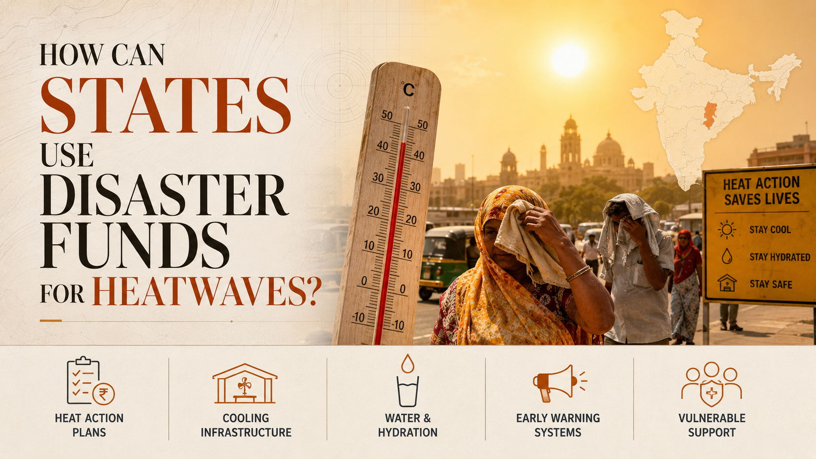
    The Ministry of Home Affairs told the Lok Sabha on 4 August 2026 that heatwaves and lightning have been added to India’s list of notified natural calamities, taking the list to 14 items. The change follows a recommendation of the Sixteenth Finance Commission (FC-XVI), the constitutional body under Article 280 that recommends the distribution of resources including disaster funds between the Centre and the states, and operational guidelines issued on 30 June 2026. Heatwaves are now eligible for the full State Disaster Risk Management Fund pool rather than the capped local-disaster route states previously had to use.

    What changes for states?

    1. Removal of the funding ceiling: A state could previously notify a heatwave only as a “local disaster” and draw on the State Disaster Response Fund (SDRF) up to a 10% annual cap, after setting its own compensation norms. Other notified disasters such as floods and cyclones faced no such ceiling. The new notification removes this asymmetry.
    2. Two distinct funding routes now available: Under the SDRF, states can fund relief and compensation for heat-related losses. Under the State Disaster Mitigation Fund (SDMF), a fund meant for longer-term risk reduction rather than immediate response, states can finance cooling shelters and early-warning systems.
    3. Scale of the fund pool: FC-XVI recommended Rs 2.04 lakh crore for state disaster funds over 2026-27 to 2030-31, about 28% more than the previous Commission’s allocation, split Rs 1.6 lakh crore to the SDRF and the rest to the SDMF. It separately recommended Rs 79,406 crore for national disaster funds that states can draw on when a disaster exceeds their own resources.

    What challenges are in the way of using the funds effectively?

    1. Uneven heat action planning: Twelve states have notified heatwaves locally, but only around 300 cities and districts across 23 heatwave-prone states have Heat Action Plans (HAPs), leaving roughly 4,800 urban local bodies and 800 districts without one. Fix. Heat-specific SDMF guidelines, still awaited, will need to be paired with the risk and vulnerability assessments already required before any project proposal.
    2. Limited technical capacity to convert plans into proposals: A 2023 review found 79% of existing HAPs asked city departments to self-fund interventions rather than costing a proposal against the new fund. Fix. States need model mitigation proposals suited to local climate and geography, since many local bodies lack the capacity to prepare fundable projects on their own.
    3. Weak loss-and-damage data: Relief payouts under the new notification will depend on accurate heat mortality and morbidity data. The Health Ministry’s surveillance system, covering over 51,000 reporting units, recorded 4,853 heatstroke cases and 20 confirmed heatstroke deaths between 1 March and 26 July, but it does not capture the wider toll from heart, lung and kidney conditions worsened by heat.

    Conclusion

    The notification closes a genuine funding gap between heat and other disasters, but the benefit depends on state capacity to plan, cost and document heat interventions. Parametric insurance, which pays out automatically once a set temperature threshold is crossed, similar to Nagaland’s existing rainfall insurance, is one fast-disbursing tool states can pair with the new fund access.

    Back2Basics: State Disaster Risk Management Fund

    1. It is the combined pool of the State Disaster Response Fund (SDRF), for immediate relief and reconstruction after a disaster, and the State Disaster Mitigation Fund (SDMF), for interventions that reduce the risk of a hazard becoming a disaster.
    2. The Finance Commission fixes the inter-state distribution using a disaster risk index built from hazard frequency and intensity, exposure, vulnerability, and a state’s expenditure record in the previous Commission’s period.

    “[2024, GS3, 15 marks] What is disaster resilience? How is it determined? Describe various elements of a resilience framework. Also mention the global targets of the Sendai Framework for Disaster Risk Reduction (2015-2030).”

  • Minister seeks fundamental shift in fight against drought

    Minister seeks fundamental shift in fight against drought

    Why in the News

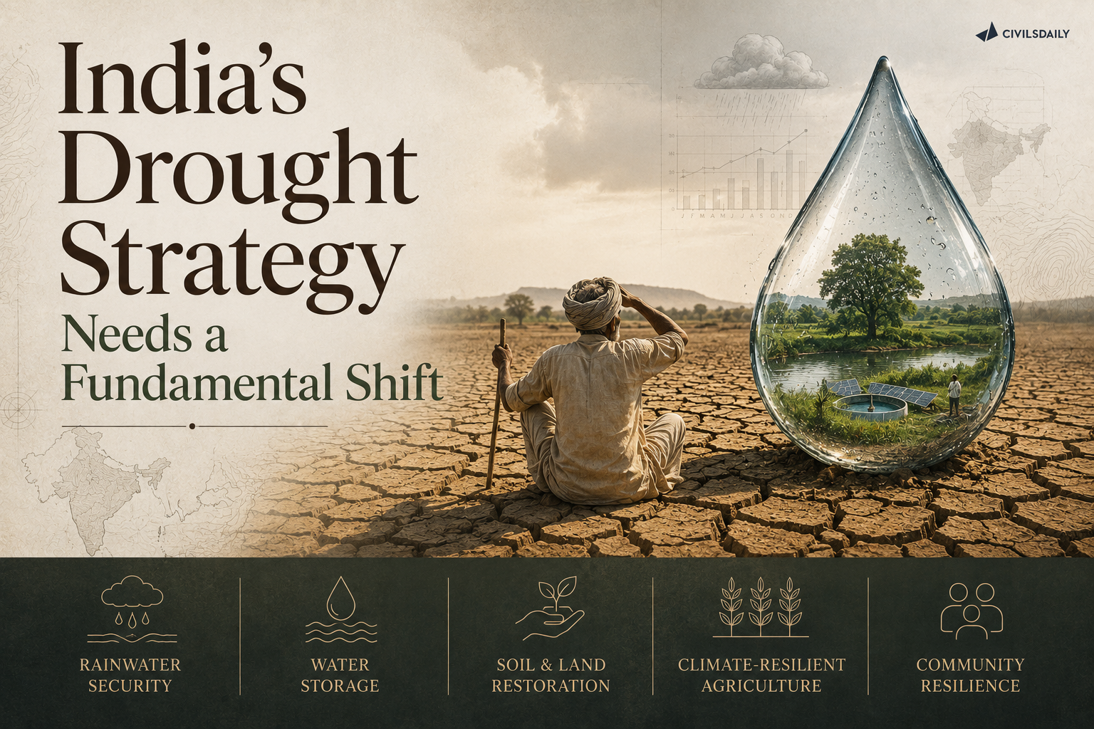
    The Union Environment Minister has called for a fundamental shift in the global approach to droughts, from reactive relief to proactive, technology-enabled resilience. He made the appeal at the Ministerial Dialogue on Accelerating Drought Resilience during the 17th Conference of Parties (COP17) of the United Nations Convention to Combat Desertification (UNCCD), held in Ulaanbaatar, Mongolia.

    What did the Minister’s statement propose?

    1. Drought is reframed as a development challenge: The Minister said drought is no longer an occasional event but a defining development challenge, citing its compounding disruptions to global water security, agricultural food systems, biodiversity, and economic stability.
    2. India’s own model was presented as a template: He highlighted India’s coordinated, multi-institutional approach integrating early warning, mitigation, relief and community resilience, where rainfall monitoring and satellite-based drought assessments trigger preparedness at the inter-ministerial and State levels.
    3. Land restoration was linked directly to water security: He called for restoring the forest before restoring the flow, underscoring India’s focus on catchment and riverscape forestry to reduce erosion, improve water retention, and recharge groundwater.
    4. The Minister called for a shift from relief to prediction: He advocated integrating predictive technologies, localised early-warning monitoring, and proactive land management policies, so vulnerable communities can anticipate and absorb environmental shocks rather than depending primarily on post-disaster relief.

    Back2Basics

    1. United Nations Convention to Combat Desertification (UNCCD): Adopted in 1994 following the 1992 Rio Earth Summit, it is one of the three Rio Conventions, alongside the United Nations Framework Convention on Climate Change (UNFCCC) and the Convention on Biological Diversity (CBD).
    2. It is the sole legally binding international agreement linking environment and development to sustainable land management. COP17, held in Mongolia under the theme “Restoring Land. Restoring Hope,” is its 17th Conference of Parties.

    Conclusion

    The Minister’s intervention at COP17 sets out India’s preparedness-first model as its negotiating position within the UNCCD process, positioning predictive, land-restoration-based resilience as the alternative to a relief-centred global response to drought.

    “[2014, GS3, 12 marks] Drought has been recognised as a disaster in view of its party expense, temporal duration, slow onset and lasting effect on various vulnerable sections. With a focus on the September 2010 guidelines from the National disaster management authority, discuss the mechanism for preparedness to deal with the El Nino and La Nina fallouts in India.”

  • Why Indian cities flood after heavy rain and overheat in summer

    Why in the News

    A 2025 amendment to Section 41A of the Disaster Management Act, 2005 has created Urban Disaster Management Authorities, a governance response to the recurring pattern of Indian cities flooding after heavy rain and overheating in summer. World Bank cost estimates on urban flood damage and a NITI Aayog assessment of the gap between master-plan provisions and their actual implementation frame the same underlying problem: cities are being planned for climate conditions they no longer experience, and the governance structures meant to close that gap have themselves lagged.

    Why do Indian cities flood after heavy rainfall?

    1. Unplanned urbanisation over natural drainage channels: Rapid, often unauthorised urban expansion has built over natural drainage channels, lakes, and wetlands that previously absorbed and carried away excess rainwater, removing the city’s own natural flood buffer.
    2. Storm-water drainage systems designed for outdated rainfall intensity: Much of urban India’s storm-water drainage infrastructure was designed decades ago for rainfall intensities lower than what cities now experience during concentrated, high-intensity rain events.
    3. Impervious surface cover reduces natural absorption: The replacement of open, permeable ground with concrete and asphalt across expanding cities means a much larger share of rainfall runs off immediately rather than being absorbed into the soil, overwhelming drainage systems built for lower runoff volumes.
    4. Fragmented civic responsibility for drainage maintenance: Responsibility for different components of urban drainage, roads, sewers, and stormwater channels, is often split across separate municipal, water-board, and public-works departments, leaving no single body accountable for the full drainage system’s maintenance.

    Why do the same cities overheat in summer?

    1. Loss of urban green cover and water bodies: The same unplanned urbanisation that removes natural drainage also removes the tree cover and water bodies that moderate local temperature, contributing to the urban heat island effect, the pattern by which built-up urban areas run measurably hotter than surrounding rural areas due to concrete and asphalt absorbing and re-radiating heat.
    2. Building density without ventilation planning: Dense, closely packed construction without adequate spacing or ventilation corridors traps heat at street level and limits the natural air movement that would otherwise help dissipate it.
    3. Overheating and flooding share the same root cause: Both problems stem from urban master plans that have not kept pace with the density and climate conditions cities actually face, meaning a plan built around outdated rainfall and temperature assumptions fails on both fronts simultaneously.

    What does the Section 41A amendment change?

    1. Creates dedicated Urban Disaster Management Authorities: The 2025 amendment to Section 41A of the Disaster Management Act, 2005 mandates the creation of Urban Disaster Management Authorities specifically for cities, distinct from the district-level disaster management authorities the original 2005 Act established.
    2. Intended to close the urban-specific governance gap: The amendment responds to the recognition that urban flooding and heat risks require a governance structure focused specifically on city-level infrastructure and planning, rather than being folded into a district authority that also covers rural areas with different risk profiles.
    3. Implementation still depends on State-level rules: Like other provisions of the Disaster Management Act, 2005, the practical functioning of Urban Disaster Management Authorities depends on rules and staffing decisions each State government must still put in place.

    What is the scale of the cost, and the implementation gap?

    1. World Bank cost estimates on urban flood damage: World Bank assessments have placed a substantial recurring economic cost on urban flood damage in India each year, covering infrastructure repair, business disruption, and health impacts, a cost that provides the economic case for investing in the governance and infrastructure fixes the amendment aims at.
    2. NITI Aayog’s master-plan implementation gap: A NITI Aayog assessment has flagged a persistent gap between what city master plans formally provide for, including drainage, green cover, and building density norms, and what is actually implemented on the ground, identifying weak enforcement rather than a lack of planning provisions as the core problem.

    Conclusion

    Urban flooding and summer overheating in Indian cities share a common origin in master plans that have not kept pace with actual urban density and climate conditions, and the 2025 Section 41A amendment creating Urban Disaster Management Authorities is a governance response to that gap. Whether the new authorities close the NITI Aayog-flagged implementation gap will depend on the staffing and enforcement powers States actually give them, not on the amendment’s existence alone.

    Back2Basics: Urban heat island effect

    1. The pattern by which densely built urban areas record measurably higher temperatures than their surrounding rural or less-developed areas, caused primarily by concrete and asphalt surfaces absorbing and re-radiating heat.
    2. Intensified by the loss of urban tree cover, water bodies, and open green space that would otherwise moderate local temperature.
    3. Compounds public health risk during heatwaves, since urban residents, especially in dense, low-income settlements with limited cooling access, face higher effective temperatures than official city-wide readings suggest.
    4. Addressed in India through urban greening and cool-roof initiatives under various city climate action plans, alongside the disaster-management governance changes covered above.

    Matching Previous Year Question

    “[2024, GS3, 15 marks] Flooding in urban areas is an emerging climate-induced disaster. Discuss the causes of this disaster. Mention the features of two such major floods in the last two decades in India. Describe the policies and frameworks in India that aim at tackling such floods.”

  • Meghalaya Still Has No Mine Closure Policy, 10 Years After Rat-Hole Mining Ban

    Why in the News

    The 39th interim report of the Justice B.P. Katakey Committee has flagged Meghalaya’s failure to adopt a comprehensive policy for closing and fencing abandoned rat-hole coal mines. The issue has shifted from merely stopping illegal extraction to managing the dangerous legacy of thousands of abandoned mine pits.

    What is Rat-Hole Mining?

    • A manual coal mining method involving a vertical pit and narrow horizontal tunnels.
    • Tunnels may extend 150 to 300 metres underground.
    • Side cutting: Tunnels follow exposed coal seams along hill slopes.
    • Box cutting: A vertical pit is dug first, followed by horizontal tunnels.
    • Meghalaya’s thin coal seams made this method economically attractive.

    Why is Meghalaya’s Mine Closure Issue Important?

    • The NGT banned rat-hole coal mining in April 2014.
    • The Supreme Court in 2019 upheld the prohibition and held that the MMDR Act, 1957 applies to Meghalaya.
    • Thousands of abandoned pits remain uncovered and unfenced, creating risks to people and livestock.
    • East Jaintia Hills alone is reported to have around 60,000 mines across 360 villages.
    • Sulphur-rich coal contributes to acid mine drainage, affecting rivers such as the Lukha and Myntdu.

    What is Mine Closure?

    Mine closure means planned decommissioning of a mine after extraction, including:

    • Sealing and fencing mine openings
    • Backfilling and slope stabilisation
    • Land restoration
    • Water treatment
    • Revegetation
    • Post-closure monitoring

    Indian mining regulations provide for both progressive closure during the life of a mine and final closure after mining ends. Financial assurance is maintained through an escrow mechanism for eligible mines.

    Why is Meghalaya Different?

    Meghalaya comes under the Sixth Schedule. Land and mineral resources are substantially associated with private and community ownership, creating a distinct governance framework compared with conventional state-leased mining.

    Constitutional provisions to remember

    • Article 244(2): Administration of tribal areas under the Sixth Schedule.
    • Entry 23, State List: Regulation of mines and mineral development, subject to Entry 54.
    • Entry 54, Union List: Union regulation of mines and mineral development when Parliament declares it in public interest.
    • Article 21: Right to life includes the right to a clean and healthy environment.
    • Article 48A: State duty to protect the environment.
    • Article 51A(g): Fundamental duty to protect the environment.

    Important Laws and Institutions

    • MMDR Act, 1957: Parent legislation governing mineral concessions, leases and mining regulation.
    • Mineral Conservation and Development Rules, 2017: Provide for progressive and final mine closure plans and financial assurance.
    • Mines Act, 1952: Deals with health, safety and working conditions in mines. The Directorate General of Mines Safety (DGMS) is the safety regulator.
    • National Green Tribunal Act, 2010: Created the National Green Tribunal (NGT), a specialised statutory environmental tribunal. Its 2014 order banned rat-hole mining in Meghalaya.
    • District Mineral Foundation: A non-profit trust in mining districts, funded through a levy on mining lessees, for the benefit of communities affected by mining.

    “[2025, GS3, 15 marks] Mineral resources are fundamental to the country economy and these are exploited by mining. Why is mining considered an environmental hazard? Explain the remedial measures required to reduce the environmental hazard due to mining.”

  • Odisha’s Coastline Is Shrinking: 28% Under Erosion Threat

    Why in the News

    A reply tabled in the Rajya Sabha by the Union Minister for Ports, Shipping and Waterways stated that about 28.3 percent of Odisha’s 564 km coastline is undergoing erosion. The figure sits alongside a second one that complicates it, since 54.1 percent of the same coastline is gaining land, which means the state faces not a uniformly retreating coast but a redistribution of sand that destroys some villages while building others.

    What is a geotextile tube embankment?

    1. About: A geotextile tube is a large cylindrical container fabricated from high strength, porous synthetic fabric and filled with a sand slurry to form an artificial coastal structure.
    2. Material: The fabric is a woven synthetic such as polypropylene, which retains the sand fill while allowing water to drain out through the pores.
    3. Function: Rows of such tubes are laid to form a sea wall that absorbs the impact of incoming waves at the shoreline. The energy loss at the structure reduces the scouring of the beach behind it.
    4. Deployment in Odisha: One such embankment is being developed at Pentha village in Kendrapara district, one of the worst affected stretches of the Odisha coast.
    5. Why it is preferred: The tubes are filled with locally dredged sand rather than imported rock armour, which lowers cost and allows the structure to settle with the seabed.

    What is shoreline change?

    1. About: Shoreline change is the dynamic process in which the boundary between land and water shifts over time.
    2. Drivers: The shift is produced by natural forces such as waves, tides and storms, and by human activity such as port construction and sand mining.

    What is coastal accretion?

    1. About: Accretion is the seaward growth of the shoreline when sediment carried by waves and currents is deposited faster than it is removed.
    2. Why it matters: A coastline can record accretion in aggregate while individual stretches erode, because the same longshore current that starves one beach feeds another.

    What is the National Centre for Coastal Research?

    1. About: The National Centre for Coastal Research (NCCR) is the national institution that monitors long term shoreline change across the Indian coastline.
    2. The Odisha study: It carried out a comprehensive assessment and mapping of shoreline change analysis along the Odisha coast from 1990 to 2022, and identified several stretches in the affected districts as vulnerable stretches.

    How does erosion vary across Odisha’s six coastal districts?

    1. The state level split: Of the 564 km coastline, 28.3 percent is eroding, 17.6 percent is stable with no significant shoreline change, and 54.1 percent is undergoing accretion.
    2. Jagatsinghpur: The most erosion prone district, with 47.6 percent of its 55.8 km coastline facing erosion.
    3. Ganjam: Erosion affects 45.7 percent of its 60.18 km shoreline.
    4. Kendrapara: Erosion affects 45 percent of its 149.36 km shoreline, the longest coastline among the six districts.
    5. Balasore: Erosion affects 23.8 percent of its 88 km coastline.
    6. Puri: Erosion affects 10.2 percent of its 138 km coastline.
    7. Bhadrak: Erosion affects 4.6 percent of its 72 km coastline, the lowest share among the six.

    What drives shoreline change along the Odisha coast?

    1. Natural marine forces: Waves, tides and storms continuously redistribute sediment along the coast.
    2. Coastal structures: A 2021 study on shoreline change along the Odisha coast, published in the Journal of Earth System Science, records that sea walls, breakwaters and jetties modify both the shoreline and the beach morphology.
    3. Ports and harbours: The effect is more significant where hard structures are raised for port and harbour development, which interrupts the longshore movement of sand.
    4. Extreme events: Tsunamis and cyclonic storms produce drastic shoreline changes, and Odisha is the most cyclone prone state along the Indian coast.
    5. Human extraction and construction: Sand mining and unplanned infrastructure development along the coast remove or block sediment supply.
    6. Sea level rise: Global sea level rise driven by climate change adds a permanent upward baseline to every storm surge and tidal cycle.

    What has coastal erosion already cost Odisha’s communities?

    1. Villages lost in Kendrapara: Rising sea level and coastal erosion have already submerged 16 villages in Kendrapara district, displacing several hundred people.
    2. Loss beyond land: The affected villagers lost not only their land but also their livelihoods, since fishing and cultivation both depend on proximity to the lost shoreline.
    3. Podampeta in Ganjam: A village of nearly 500 households has been deserted as the sea swept inland.
    4. Ramayapatna and other settlements: Several other coastal villages in Ganjam are witnessing the sea advance towards the landmass, rendering residents homeless.

    What measures has Odisha taken to protect its coast?

    1. Geotextile tube embankment: A geotextile tube sea wall is being developed at Pentha in Kendrapara to absorb wave impact on one of the most exposed stretches.
    2. Sea wall cum service roads: These are being developed across parts of Balasore district and at Ramayapatna beach in Ganjam.
    3. How the dual structure works: The outer tier acts as a defensive barrier against strong tidal waves and erosion. The inner tier operates as a service road for local transport and public access.
    4. Planned relocation: The state has developed a resettlement colony, described as India’s first climate resettlement colony, to accommodate people displaced by coastal erosion.
    5. Vulnerability mapping: The NCCR has identified specific vulnerable stretches within the six districts on the basis of long term shoreline analysis, which allows protection works to be prioritised.

    “[2022, GS3, 15 marks] Explain the causes and effects of coastal erosion in India. What are the available coastal management techniques for combating the hazard?”

  • Assam’s Floods: A 200-Year Man-Made Crisis?

    Why in the News

    In the third week of July, several south bank rivers of Upper Assam rose with extreme speed, swallowed paddy fields and grazing lands, and swept through villages and towns in districts that had not previously faced catastrophic floods. The event exposes a conflict between two explanations of the disaster, one that treats the flood as a hydrological event to be excluded by engineering, and one that treats it as the outcome of a landscape whose capacity to absorb rain has been dismantled over two centuries.

    What is embankment based flood control?

    1. About: An embankment is an earthen barrier raised along a river to confine its flow within the channel and shield the settled floodplain from inundation.
    2. When it was adopted in Assam: A techno bureaucratic campaign in the mid 20th century set out to shield settled floodplains from floods that had until then been treated as predictable and nourishing for agriculture.
    3. The design assumption: The approach treats the flood as an external event to be kept out, rather than as the process that builds the plain it inundates.
    4. The sediment consequence: These barriers interrupted the flow of sediment onto the floodplain, confining silt to the channel instead of spreading it across the fields.
    5. The coverage limit: By 1988, even after thousands of kilometres of embankments had been built, two thirds of the valley still lay open to flooding.

    What are the south bank tributaries of Upper Assam?

    1. About: The south bank tributaries are the rivers that rise in the hills south and east of the Brahmaputra valley and join the main river from its right bank, including the Buridihing, Disang, Dikhow, Jhanji and Dhansiri.
    2. Why they matter here: They are fed by rainfall over the Naga Hills and eastern Arunachal Pradesh, so their flood peaks are set by rain falling outside Assam’s own boundaries.

    What is riverbed aggradation?

    1. About: Aggradation is the raising of a riverbed by deposition of sediment that the river can no longer carry downstream.
    2. Why it worsens flooding: A raised bed reduces the channel’s carrying capacity, so the same discharge overtops the banks at a lower volume than before.

    What is a flash flood?

    1. About: A flash flood is a rapid rise in water level within hours of intense rainfall, typical of steep catchments where runoff reaches the channel before it can infiltrate the soil.
    2. The determining factor: The severity depends on how quickly the catchment sheds water, which is a function of forest cover and soil condition rather than rainfall volume alone.

    What made the July flood different from a routine Brahmaputra flood?

    1. Damage before the main river peaked: Upper Assam felt the brunt of the disaster before the Brahmaputra swelled to its highest, which rules out the main channel as the primary cause.
    2. Rain fell outside Assam: Relentless rain pounded the Naga Hills and Arunachal Pradesh, soaked the slopes and unleashed sudden torrents into the southern tributaries.
    3. New districts affected: Several districts once strangers to such catastrophic floods found themselves engulfed.
    4. Extraction accelerated the runoff: Stone and boulder extraction from riverbeds and hillsides, common in both highlands and lowlands, was identified as a factor that hastened the rainfall’s journey downstream.
    5. The regional setting: Assam is cushioned between the Eastern Himalaya to the north, the Patkai and Barail ranges to the east and the Bay of Bengal to the south, so the southwest monsoon links highlands, floodplains, billions of tonnes of sediment and the shifting channels of hundreds of rivers into a single interdependent system.

    What has changed in the highland catchments that feed Upper Assam?

    1. Shorter cultivation cycles: Growing populations in the highlands of Nagaland and eastern Arunachal Pradesh have made cultivation cycles shorter and more intense, cutting the fallow period that allowed soil to recover.
    2. Small scale coal mining: Mining woven into local economies now competes with the highland agrarian economy and operates through complex networks of speculators.
    3. Relentless logging: Continued removal of tree cover strips the canopy and root systems that slow rainfall reaching the ground.
    4. Expanding infrastructure: New construction seals and compacts surfaces, adding to runoff.
    5. The combined effect: This pressure on the uplands erodes the land’s ability to absorb rainfall, so a given storm now delivers more water, faster, to the tributaries below.

    How did the south bank lose its historic resilience?

    1. The earlier condition: The south bank districts of Upper Assam were once among the Brahmaputra valley’s most resilient regions, defined by thick forests, scattered settlements and a safe distance from the Brahmaputra’s main channel.
    2. The colonial turn: The calm began to unravel in the mid 19th century, when these areas drew the attention of colonial tea planters.
    3. The land use conversion: Land where rain once vanished quietly into the forest floor was transformed into plantations, sites of mineral extraction and farms.
    4. The hydrological result: The converted land could no longer hold back the water, which shifted the flood response of the whole south bank.

    What did the embankment campaign change?

    1. The reversal of the flood’s meaning: Floods that had been seen as predictable and nourishing for agriculture were reclassified as a hazard to be excluded.
    2. The sediment interruption: The barriers cut off the annual deposition of silt that had renewed floodplain fertility.
    3. The incomplete shield: By 1988, thousands of kilometres of embankments still left two thirds of the valley exposed.
    4. The failure mode in July: Embankments along the southern tributaries gave way before the main river crested, producing sudden breaches.
    5. Why a breach is worse than a flood: The breach released a fall of water onto an unembanked plain, concentrating the discharge instead of spreading it.

    How is the monsoon itself changing?

    1. Greater unpredictability: India’s rainy season has become more unpredictable, marked by sudden downpours separated by long dry spells rather than simply more rain overall.
    2. Corroboration for the Northeast: Studies focused on Northeast India echo these findings.
    3. The explanatory shift: The gap between intense rainfall and a weakened landscape explains the flash floods more fully than the quantity of rain alone.
    4. Why the distinction matters: A landscape that once absorbed a heavy monsoon now converts the same rainfall into a peak discharge, so historical rainfall thresholds no longer predict damage.

    Do embankments protect the floodplain or deepen its exposure?

    1. The protection is real but partial: Embankments shielded settled floodplains and made permanent cultivation and settlement possible on land that had flooded annually.
    2. The cost is the sediment: The same barriers interrupted sediment flow, denying the plain the silt that renewed it and confining deposition to the channel bed.
    3. Protection invites exposure: A shielded plain attracts denser settlement, which raises the population and assets at risk when a breach occurs.
    4. Failure is concentrated, not gradual: An unembanked plain floods slowly and predictably, while an embanked one stays dry until the barrier gives way and then receives the full discharge at once.
    5. The measure of the approach: After thousands of kilometres of construction, two thirds of the valley remained open to flooding, which shows the strategy could not be completed at the scale it assumed.
    6. The deeper limitation: The state’s ecology has been treated as a puzzle for engineers, with each crisis examined in isolation, so the cumulative loss of catchment capacity is never entered into the calculation.

    Challenges to flood management in Assam

    1. Ageing embankments past their design life: Most of Assam’s embankment network was built decades ago and now fails at multiple points each season. e.g. the breach of the Bethukandi embankment on the Barak in June 2022, which submerged Silchar town for days.
    2. Bank erosion and permanent land loss: The braided Brahmaputra shifts its channels and consumes cultivated land and villages every year. e.g. Majuli, the large river island in Assam, which has lost a substantial part of its area to erosion since the 1950s.
    3. A catchment that lies outside the State’s jurisdiction: The rainfall that determines Assam’s flood peak falls in Arunachal Pradesh, Nagaland and beyond the international border. e.g. the July flood peak on the south bank tributaries generated by rain over the Naga Hills.
    4. Sudden releases from upstream hydropower projects: Reservoir operation upstream can add a flood wave to an already rising river. e.g. water released from the Ranganadi project in Arunachal Pradesh flooding parts of Lakhimpur district.
    5. Loss of wetlands that once absorbed flood water: The valley’s beels have been filled for construction and encroached upon. e.g. shrinkage of Deepor Beel, the Ramsar site adjoining Guwahati, which has intensified urban flooding in the city.
    6. Relief centred rather than mitigation centred spending: Public expenditure concentrates on camps, compensation and post flood repair rather than catchment restoration. e.g. annual embankment repair works sanctioned after each season’s breaches rather than a basin wide restoration programme.
    7. Riverbed and hillside extraction: Removal of stone, boulders and sand strips the roughness that slows runoff and destabilises slopes. e.g. boulder extraction from riverbeds in the foothills feeding the south bank tributaries.

    Conclusion

    The July flooding in Upper Assam is the outcome of vulnerabilities built over two centuries, not a seasonal misfortune produced by a river’s behaviour. Plantation conversion from the mid 19th century, embankment construction from the mid 20th century and current highland extraction have each reduced the landscape’s capacity to absorb rain, while the monsoon has shifted towards sudden concentrated downpours. Assam’s environment is approaching a tipping point and is not yet beyond repair. What remains unresolved is the framing itself, since the connections between highland and lowland, water and land, and forests and floodplains cannot be rebuilt by engineering alone.

    “[2017, GS1, 15 marks] In what way can floods be converted into a sustainable source of irrigation and all-weather inland navigation in India?”

  • Assam floods linked to rat-hole and riverbed mining

    Why in the News

    Localised floods in Sivasagar, Charaideo and Jorhat districts of Assam have drawn attention to the role of rat-hole coal mining and riverbed mining in altering local drainage and aggravating flood impacts.

    What is Rat-Hole Mining?

    1. Method: A hazardous form of coal extraction through narrow horizontal tunnels, often too small for mechanised mining.
    2. Region: Historically prevalent in Meghalaya and other parts of Northeast India.
    3. NGT Ban: The National Green Tribunal (NGT) banned rat-hole coal mining in Meghalaya in 2014, citing environmental degradation and safety concerns.
    4. Environmental impact: Unregulated mining can disturb soil, drainage channels and river systems.

    How Can Mining Aggravate Floods?

    • Altered drainage: Mining and riverbed extraction can modify natural water-flow pathways.
    • Siltation: Mining activities can increase sediment entering waterways, reducing effective channel capacity.
    • Loss of natural buffers: Landscape disturbance can reduce the ability of terrain to absorb and retain water.
    • Compounded disaster: Heavy rainfall combined with degraded drainage can intensify flooding and displacement.

    Governance Issue

    • NGT ban → weak enforcement → continued illegal mining → environmental degradation → greater disaster vulnerability

    [2018] Which of the following is/are the possible consequence/s of heavy sand mining in riverbeds ?

    1. Decreased salinity in the river
    2.Pollution of groundwater
    3.Lowering of the water-table
    Select the correct answer using the code given below :

    (a) 1 only

    (b) 2 and 3 only

    (c) 1 and 3 only

    (d) 1, 2 and 3