Why in the News
A Senior Fellow of the Energy, Water and Sustainability Program at the Stimson Center, a US based non-profit think tank, has set out the sequence of the recent Nepal flood and the lessons it holds for hazard monitoring across the Himalayas.
What triggered the Nepal flood, and why is the trigger still uncertain?
- A glacial detachment carrying bedrock: The present consensus is that the initial trigger was a glacial detachment that included bedrock on the northern slopes of Langtang Lirung, a 7,000-plus-metre peak in the Langtang range.
- The triggering process is not understood: The failure could be related to climate-related risks or to gradual shifts at the site itself.
- A slow creep, then a tipping point: Preliminary analysis indicates minor movement of the glacial mass in the weeks or months before the event, followed by a tipping point.
How did a single glacial failure cascade more than 100 kilometres downstream?
- The descent: The failed mass swept down a gully toward the Lhende River, which reaches the Chinese border. The source area was around 5,200 metres, so the flow descended a couple of thousand metres.
- A temporary natural dam: The flow deposited a mixture of ice, rock and sediment that blocked the river.
- Three contested water sources: Debate continues on how much water came from the glacier itself, from melting of entrained ice, and from water that accumulated behind the landslide dam.
- Nine minutes to the border: The dam failed and sent a major pulse of water downstream, which reached the China border in roughly nine minutes. Footage from the Gyirong border facility shows a massive dark wave carrying a large volume of material, not just water.
- Back into Nepal within seconds: The border facility sat at a confluence with the Gyirong River tributary, and within seconds of hitting it the flow was already moving back into Nepal. There was no realistic opportunity to warn communities downstream, and many of those who could have generated an alert were themselves swept away.
- Dams, hydropower and villages: The flow destroyed dams and hydropower projects downstream, recruited additional sediment, and swept through villages along the river corridor.
- Beyond every mapped floodplain: The event continued into Nuwakot district and affected larger market towns in the floodplain, in areas well beyond the 100-year or 500-year floodplain (the extent a flood of that average recurrence interval is expected to reach). This was a thousand-year-plus flood event.
- Registered at the India-Nepal border: Significant impacts extended more than 100 kilometres downstream, and the flood pulse also registered at the India-Nepal border.
Why are cascading hazard chains the larger Himalayan problem?
- A pattern across three countries: The same chain has appeared in Chamoli, in Sikkim with the South Lhonak GLOF (glacial lake outburst flood), and in Nepal with the Melamchi disaster.
- Climate risk as an amplifier: Climate risks are interacting with and amplifying other disaster risks, and these events are becoming more frequent and more intense.
Why does hazard monitoring keep missing the sites that fail?
- Known high-risk sites exist, and this was not one: Several places around Nepal have been identified as high-risk areas for glacial detachment and surges, and glaciers immediately on the other side of Langtang Lirung are high-priority research sites. This particular location had no red flags.
- Hindsight still needs a target: Analysts are examining whether changes could have been detected in the days before the event, but that would still require knowing where to look.
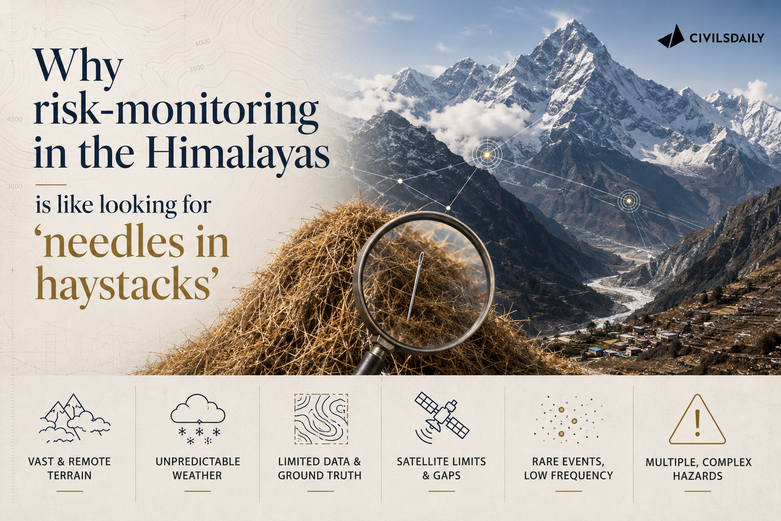
- No signal to separate from noise: Monitoring every glacier and every mountainside that could collapse is not feasible without some signal that narrows the search.
- Satellites answer only the question they were pointed at: Remote sensing and satellite-based analysis are important, but different satellite tools answer different questions, and each needs a target. Engaging local communities is how the target is found.
- Almost every event came from an unknown place: Of over a dozen extreme events in the Himalayas over 10 years, almost all came from unknown places, the South Lhonak GLOF being the one known risk.
- No borrowed training data: Patterns are beginning to emerge, but no training dataset from the Alps or Norway can simply be transferred to the Himalayas, which have their own context and significant data scarcity and data sparsity.
What monitoring triangle does the interview propose for India, Nepal and the Himalayas?
- Mapping is the baseline: The mapping exercise undertaken by India’s Home Ministry and space agencies to monitor glacial lakes and hazards is an absolute necessity. Nepal does not have the same level of resources. Some mapping has been done there, and it is not as comprehensive.
- Maps enable zoning; monitoring is the key: Once maps exist, hazard zoning and modelling can begin, but detection depends on continuous monitoring.
- Corner one, remote sensing: Remote sensing and satellite imagery form one part of the triangle.
- Corner two, fixed station networks: Hydromet (hydrological and meteorological) and seismic stations form the second.
- Corner three, localised monitoring through local government: Local governments, disaster managers and Community Disaster Management Committees can collect local data, report landslides and monitor impacts after storms.
- Localised monitoring through people immersed in the terrain: Yak herders and fishermen notice changes in rivers, glaciers and glacial lakes. Oral histories with elders reveal smaller avalanches, glacial-lake floods and other events that science has not recorded, helping identify potential hotspots.
- The combination is the detector: Combining the station network, remote sensing and localised monitoring gives a better chance of detecting changes and distinguishing the signal from the noise that tells you where to look.
Challenges to Himalayan hazard monitoring
- Hydropower sited in hazard corridors without upstream sensing: Projects sit in narrow gorges below unstable ice and rock with no instrument between the source and the intake. Eg. The February 2021 Chamoli rock and ice avalanche from Ronti peak destroyed the Rishiganga and Tapovan-Vishnugad projects with no upstream warning.
The Fix: Make a hazard chain assessment and ridge line sensors with satellite telemetry a condition of clearance for every Himalayan hydropower project. - Instruments die with the event they are meant to detect: A sensor placed at the lake or in the channel is destroyed by the first surge and reports nothing. Eg. Monitoring equipment installed at South Lhonak lake in September 2023 was washed away in the October 2023 outburst that also breached the Teesta III dam at Chungthang.
The Fix: Place redundant stations on high ground and at staggered distances downstream so at least one survives to trigger sirens. - Cross-border flows carry no shared alert: The upstream country holds the first minutes of warning and no protocol obliges it to pass them on. Eg. India’s hydrological data sharing arrangement with China on the Brahmaputra lapsed in 2023.
The Fix: Adopt a Hindu Kush Himalaya alert protocol through the International Centre for Integrated Mountain Development (ICIMOD) that pushes automatic upstream alerts to downstream disaster authorities within minutes. - Warnings that never reach the last mile: A satellite detection is useless to a village asleep in a gorge with no siren and no signal. Eg. The Sikkim outburst struck after 10 pm on 3 October 2023 and reached the Teesta valley settlements in the dark.
The Fix: Pair the National Disaster Management Authority’s Common Alerting Protocol based cell broadcast with battery-backed community sirens in every mapped downstream settlement.
Conclusion
India has the baseline map; Nepal has part of one. Neither has the monitoring triangle that turns a map into a warning. The unresolved gap is that detection still depends on knowing where to look, and the herders, fishermen and village committees who hold that knowledge are not yet wired into any station network. The test of the next monsoon is whether a single high mountain site with no red flag gets watched because a community reported it first.
Back2Basics
- What it is: A sudden release of water from a lake formed by melting glaciers, held back by a natural dam of loose moraine debris or ice rather than bedrock.
- How it starts: An avalanche, rockfall or ice calving into the lake sends a displacement wave over the dam, or seepage erodes the moraine from within until it collapses.
- Why it is deadlier than a rain flood: The surge carries rock and sediment, arrives with minutes of warning, and can breach infrastructure far below the lake.
- India’s framework: The National Disaster Management Authority issued dedicated guidelines on GLOF and Landslide Lake Outburst Flood management in 2020.
[2021, GS1, 15 marks] How does the melting of the Arctic ice and glaciers of the Antarctic differently affect the weather patterns and human activities on the Earth? Explain. (250 words)
