Why in the News
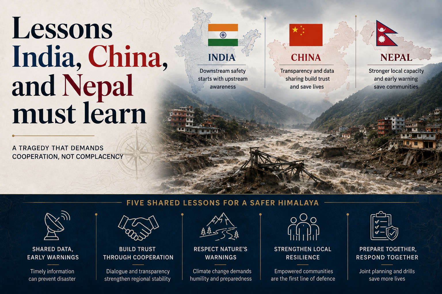
A catastrophic flood in Nepal’s Rasuwa district, triggered by a glacial collapse near Langtang Lirung, has exposed vulnerabilities in Himalayan border management, infrastructure, disaster response and regional climate cooperation.
Why does a border not contain a Himalayan disaster?
- A natural disaster does not recognise the line: The border as a geometric line, whose breach by another sovereign nation is treated as the uppermost national security concern, is not respected by a flood or an avalanche.
- Dependence-generating diplomacy no longer works: Nation states cannot afford to treat the sharing of information and expertise as a favour extended by one side to the other.
- Interdependence is the operating requirement: Data sharing, joint studies, institutional collaboration, non-sovereignty-centric treatment of climate change impact and a close inter-governmental early warning framework have become central.
- Science has to be converted into a public good: Translating findings into simple public awareness material is part of the same task.
- Border forces face a different threat set: Border defence personnel need retraining for security threats that now arrive as physical hazards rather than as incursions.
- Traditional knowledge belongs in operations: Human security in far-flung terrain depends on drawing on local knowledge in response operations rather than on external protocols alone.
What does the flood expose in the region’s power system?
- Over 15 hydro projects were damaged on one river: The flood struck that many projects along the Trishuli, and the downstream exposure it created runs from national to trans-border scale.
- The cascade crosses four countries: Effects within Nepal, China and India, and further downstream in Bangladesh, can disrupt cross-border energy trading and regional power pools, producing energy insecurity.
- India’s oldest stake on the river is destroyed: India’s Central Water and Power Commission initiated the first hydel project on the Trishuli in 1953, an agreement was signed in 1958, and the 21 MW run-of-the-river project was commissioned at Tuphe in June 1972 at a cost of Rs 13.55 crore. It supplied power to Kathmandu for decades and now remains largely decimated.
- Highways were built along the river belts: Many China-built highways to Kathmandu run through valleys, including the 115 km Kathmandu to Kodari highway built in 1967 through the Sunkoshi valley, sited for strategic reasons and for easy access to sand and boulders.
- Ribbon development followed the alignment: Huge settlements have grown along those highways, which places population directly in the river’s path.
- Donors are reconsidering large infrastructure: This flood and others have pushed the funders of big infrastructure projects to rethink their strategies.
Why does the response arrive from the wrong place?
- The first responder is the first victim: The impact falls at a very local level, where the area’s residents are both, and the response comes from distant capital-centric institutions in Kathmandu.
- Sikkim recorded the same pattern in 2023: Massive calving from the South Lhonak glacier’s snout triggered a glacial lake outburst flood in North Sikkim in October that year, and the Teesta rose 15 to 20 metres within hours.
- The damage crossed two States and a border: Downstream townships in Sikkim, West Bengal and Bangladesh were buried in slush and debris.
- The loss was 60 per cent of a State’s output: Damage was estimated at over Rs 25,000 crore, close to that share of Sikkim’s 2022-23 Gross State Domestic Product.
- Generation loss alone crossed Rs 19,000 crore: The 1,800 MW of capacity destroyed accounted for that much of the total.
- Local institutions had no capacity to absorb it: Municipalities and panchayats stood helpless before the scale of destruction, without training, technique, orientation, awareness, preparedness or the means to cope.
- No agency owned the warning function: No early warning mechanism existed, and no agency was responsible for creating one.
- The remedy named is relocation of capacity: National institutions and resources need to be based at the local level rather than at the capital.
Why is there no common Himalayan climate policy?
- The region has no framework spanning its levels: The Himalayan region lacks a robust climate policy framework covering the local, national and regional levels together.
- The scientific warning is already published: The International Centre for Integrated Mountain Development (ICIMOD), the Kathmandu based intergovernmental knowledge centre for the Hindu Kush Himalaya, has published evidence-based reports warning of tipping points in the region’s deteriorating glaciology.
- India’s own instruments are national and sectoral: India has a National and State Action Plan on Climate Change with eight sectoral missions, including one for the Himalayas.
- The regional treaty exists on paper: The SAARC Convention on Cooperation on Environment was signed and took effect in 2013.
- The problem is fragmentation rather than absence: These scattered approaches have to be brought onto a common platform.
Challenges to disaster preparedness in the Himalaya
- Disaster money is triggered by damage, not by risk: Spending flows overwhelmingly to relief and compensation after an event rather than to the monitoring and evacuation capacity that would reduce it. Eg. A separate National Disaster Mitigation Fund had to be created under the Disaster Management Act, 2005 precisely because response funds were not being spent on mitigation.
The Fix: Ring-fence a fixed share of the mitigation fund for high altitude monitoring and evacuation infrastructure, with annual utilisation published State by State. - Hill towns are built without a carrying capacity assessment: Settlements expand on slope debris and old landslide material without any study of how much construction the ground will bear. Eg. Land subsidence at Joshimath in January 2023 forced the evacuation of hundreds of families from a town built on old landslide debris.
The Fix: Complete and publish carrying capacity studies for Himalayan towns, and hold new construction approvals until each town’s study is on record. - No single agency owns glacier hazard: Glacier and glacial lake monitoring is split across geological, polar research and university institutions, so no body publishes a standing national risk list. Eg. India’s glacial lake inventories have been compiled separately by different agencies using different thresholds for what counts as a risk lake.
The Fix: Designate one nodal agency to maintain and annually publish a national inventory of high risk glaciers and lakes. - Reconstruction rebuilds the same exposure: Post-disaster funding restores roads, bridges and power projects on their original alignments, which returns the assets to the position that failed. Eg. Highways and hydel assets damaged in the 2013 Kedarnath floods were substantially rebuilt along the same valley routes.
The Fix: Make a relocation-or-redesign assessment a condition of releasing post-disaster reconstruction funds for any asset in a hazard zone. - Transboundary rivers carry no data obligation: Upstream flow, lake level and slope movement data are treated as strategic information rather than as a safety input owed to a downstream population. Eg. Countries in the region share river data under bilateral arrangements limited to defined seasons and defined stations.
The Fix: Put glacier, lake and flow monitoring data into a standing regional exchange with agreed release timelines and an automatic alert threshold.
Conclusion
The Rasuwa flood underscores that Himalayan disasters demand cross-border cooperation, not isolated national responses. India must strengthen valley-level early warning systems, ensure real-time upstream data sharing, and establish clear institutional responsibility to prevent future disasters.
Back2Basics: International Centre for Integrated Mountain Development
- Formation: An intergovernmental knowledge and learning centre established in 1983, with its headquarters at Kathmandu in Nepal.
- Membership: It serves eight regional member countries, namely Afghanistan, Bangladesh, Bhutan, China, India, Myanmar, Nepal and Pakistan.
- Coverage: Its mandate is the Hindu Kush Himalaya region, spanning the mountain systems from Afghanistan to Myanmar.
- Function: It produces regional assessments on glaciers, water, biodiversity and mountain livelihoods, including the Hindu Kush Himalaya Assessment reports.
[2019, GS3, 10 marks] Disaster preparedness is the first step in any disaster management process. Explain how hazard zonation mapping will help in disaster mitigation in the case of landslides.”
