Why in the News?
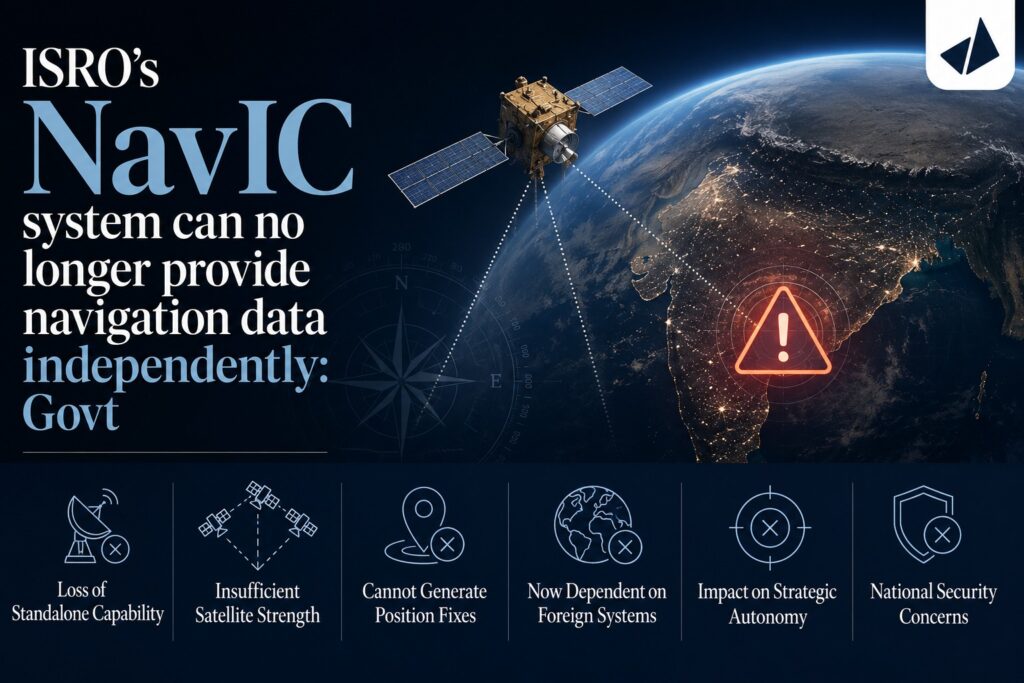
For the first time, the Government has admitted in Parliament that India’s NavIC (Navigation with Indian Constellation) cannot currently provide standalone positioning services, as only 3 operational satellites are available for navigation, while at least 4 satellites are required.
What is the issue?
- IRNSS-1F, launched in March 2016, completed its mission life and its onboard atomic clock failed, reducing the operational navigation satellites.
- At present, only IRNSS-1B, IRNSS-1I, and NVS-01 are providing Positioning, Navigation and Timing (PNT) services.
- As a result, NavIC cannot independently provide positioning services, though its timing service remains functional.
What is NavIC?
- NavIC (Navigation with Indian Constellation) is India’s regional satellite navigation system, developed by ISRO under the Indian Regional Navigation Satellite System (IRNSS).
- It provides Positioning, Navigation and Timing (PNT) services over:
- India, and
- up to 1,500 km beyond its borders.
- The original constellation was designed with 7 satellites.
Why are four satellites necessary?
- A navigation receiver determines its position through trilateration.
- At least 4 satellites are required to accurately calculate Latitude, Longitude, Altitude, and Time correction
- Without four operational satellites, standalone navigation becomes unreliable.
Does this affect users?
- No major impact on most users.
- Smartphones, aircraft, ships and vehicles use multi-constellation GNSS receivers, combining signals from GPS (USA), Galileo (European Union), GLONASS (Russia), BeiDou (China), and NavIC (India)
- Hence, navigation services continue without significant disruption.
Current status
- Standalone positioning: Not available.
- Timing service: Functional.
- Emergency message broadcasting: Functional.
- Armed Forces: Continue using NavIC as part of a multi-constellation GNSS framework.
Future roadmap
- NVS-03 is ready for launch.
- NVS-04 and NVS-05 are in advanced stages of development.
- These satellites are expected to restore NavIC’s independent navigation capability.
Significance of NavIC
- Enhances strategic autonomy by reducing dependence on foreign navigation systems.
- Supports: Defence operations, Disaster management, Maritime navigation, Aviation, Railways, Road transport, Precision agriculture, and Surveying and mapping
- Provides secure and reliable navigation during emergencies or geopolitical conflicts.
[2023] Which one of the following countries has its own Satellite Navigation System?
[A] Australia
[B] Canada
[C] Israel
[D] Japan
