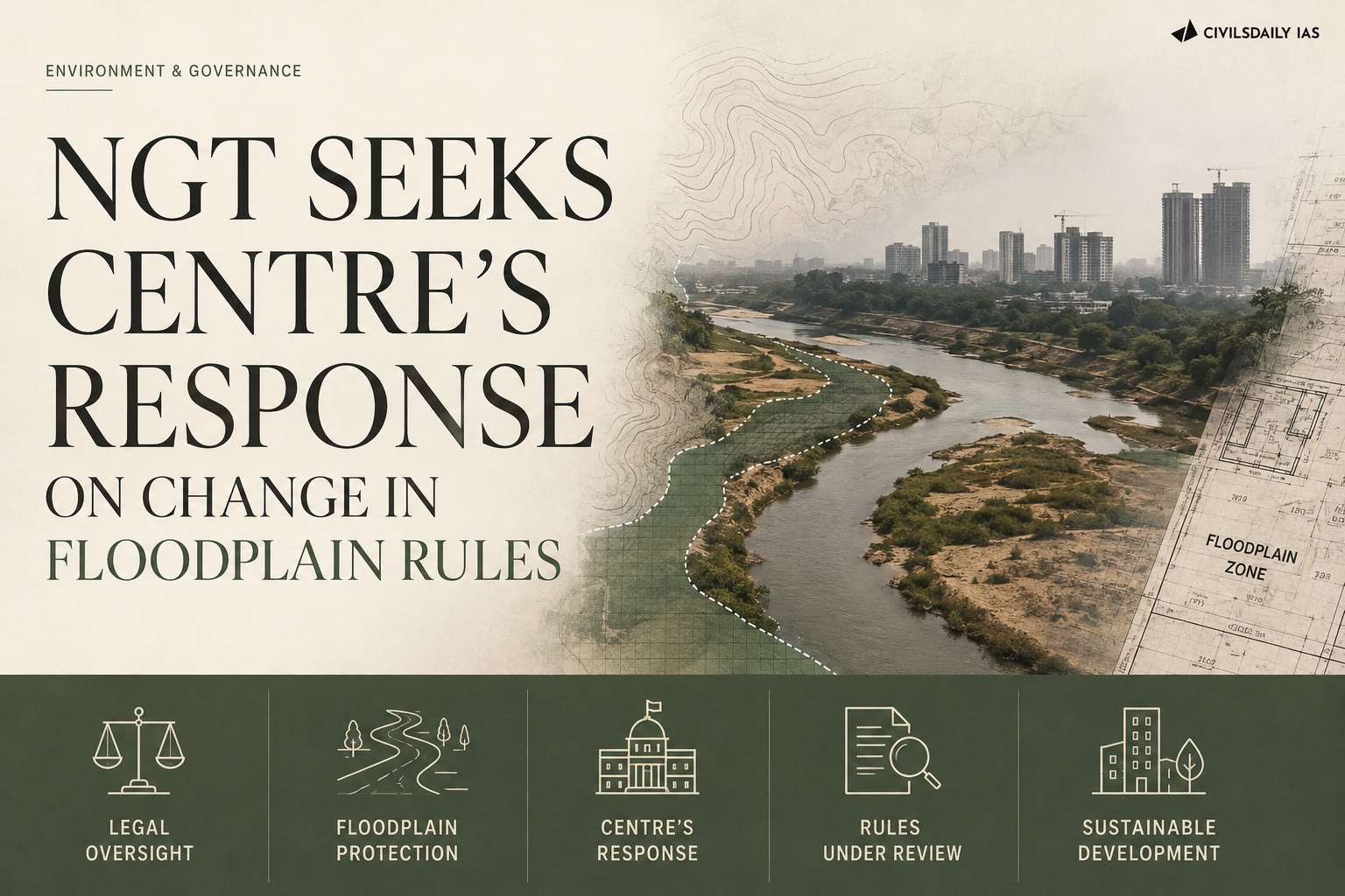
Why in the News
The National Green Tribunal (NGT) has issued notice to the Centre on a petition challenging an amendment to the rules governing the Ganga’s floodplains. The Jal Shakti Ministry issued the amendment earlier this month. It removed the “construction-free zone” tag on the Ganga’s floodplains. It also redefined what counts as a floodplain, replacing a single protected belt with three graded bands. The contest is over whether narrowing the protected area corrects a legal defect in the original rules or opens land that a hundred years of flood records show the river still claims.
What is the River Ganga (Rejuvenation, Protection and Management) Authorities Order, 2016?
- A governance structure, not a pollution standard: The Order was notified under the Environment (Protection) Act, 1986 to create a single chain of command for the Ganga. It replaced a scatter of separate authorities with one tiered structure.
- Five tiers from the Centre to the district: It set up the National Ganga Council, an Empowered Task Force, the National Mission for Clean Ganga (NMCG), State Ganga Committees and District Ganga Committees. The Council is chaired by the Prime Minister and the Task Force by the Union Jal Shakti Minister.
- NMCG holds the enforcement powers: The Order gave NMCG the standing of an authority able to issue binding directions to any person or body on the Ganga and its tributaries. Its directions carry the force of directions under the 1986 Act.
- It closed the floodplain to construction: The Order tagged the Ganga’s floodplains a construction-free zone. It fixed the extent of that floodplain largely by the once-in-100-year flood line.
What is a floodplain and how is one delineated?
- A floodplain is the river’s own land: It is the flat ground beside a river channel that the river inundates when discharge exceeds the channel’s capacity, and it absorbs flood volume and recharges groundwater.
- Delineation uses a flood return period: A one-in-100-year flood is a discharge with a one per cent chance of being equalled or exceeded in any single year, and the line it reaches marks the outer edge of the mapped floodplain.
What exactly does the amendment change?
- The active floodplain shrinks to a five-year line: The “active floodplain” is now the area inundated by a flood with a one-in-five-year return period. The 2016 line ran to the once-in-100-year flood.
- A regulatory zone replaces the ban on the middle belt: Land flooded once in five to 25 years falls into a “regulatory zone” where activity is permitted subject to conditions rather than prohibited.
- A warning zone covers the outer belt: Land flooded once in 25 to 100 years falls into a “warning zone”, the weakest of the three categories.
- NMCG notified the change: The amendment was notified by the Ministry’s National Mission for Clean Ganga and was reported on 11 August. The construction-free zone tag was dropped in the same instrument.
Why does the petitioner say the change is unlawful?
- An environmentalist filed the challenge: The petition was filed by environmentalist Amit Kumar, who is not a State or a statutory body.
- The no-construction zone was altered without a fresh basis: The petition argues that the amendment alters the no-construction zone set out in the 2016 order. It says the “active floodplain” has been wrongly pegged to a one-in-five-year flood.
- The change contradicts settled orders: The petition contends that the amendment runs counter to earlier rulings of the Tribunal and of the High Courts. Those rulings had treated the floodplain as protected land.
- The route was an executive notification: The 2016 Order was made under the Environment (Protection) Act, 1986 and has been amended by executive notification, without any legislative examination of the narrowed definition.
Is a graded floodplain regime a legal correction or a dilution of protection?
- The government calls it a technical repair: A government official explained the change as “correcting a legal inconsistency” in the original order. A blanket construction-free tag over a 100-year flood line was internally inconsistent with the graded controls used elsewhere in river regulation.
- Graded zoning is the standard engineering practice: Flood plain zoning worldwide separates a prohibited core from regulated and warning belts, because a single prohibition over the full 100-year belt is unenforceable in a densely settled basin.
- The graded regime converts prohibition into permission: Most of the land between the five-year and the 100-year line moves from a ban to a conditional clearance. Discretion at the clearance stage replaces a rule that needed no discretion.
- Flood risk does not follow the average: A five-year line describes the routine flood, not the damaging one, and structures built between the five-year and 100-year line are exposed precisely in the years that matter.
What does the Tribunal’s refusal to stay the amendment mean on the ground?
- The amendment remains in force during the challenge: The Tribunal did not stay the amendment, so the narrowed definition governs every clearance decision taken until the case is decided.
- The hearing produced notice, not relief: A Bench of the Chairperson and an Expert Member heard the matter on 19 August. It directed the Union government and other respondents to file their replies.
- The next date is two months away: The case has been listed for 27 October. Construction permitted in the interval will be complete or under way by then.
- Approvals granted meanwhile are hard to unwind: A structure raised on the strength of a valid clearance acquires equities that a later order rarely disturbs. Demolition after the fact is the remedy the Tribunal has historically been most reluctant to grant.
Challenges to floodplain regulation in India
- India has no floodplain zoning law: A Model Flood Plain Zoning Bill was circulated to the States in 1975 and only a handful enacted it, so the country regulates floodplains through orders and court directions rather than statute. Eg. Manipur, Rajasthan and Uttarakhand enacted versions of the model bill. The large basin States did not. Fix. Enact a central framework law under Entry 56 of the Union List for inter-State rivers, leaving intra-State reaches to State legislation.
- Land is a State subject and floodplains are valuable: State governments resist zoning because the floodplain is often the last unbuilt land inside a growing city. Eg. Delhi’s Yamuna floodplain hosts a bus depot, a metro depot and event grounds built after clearances that were later questioned. Fix. Compensate States for foregone land value through a dedicated flood risk reduction transfer, so protection stops being a pure fiscal loss.
- Flood hazard maps are outdated or missing: Zoning cannot be enforced without a current, surveyed inundation line, and most basins are mapped on decades-old records. Eg. The Central Water Commission’s flood atlas work covers only part of the flood-prone area of 40 million hectares. Fix. Mandate a satellite-based inundation remapping cycle every five years, with the maps published as the legal basis for zoning.
- Definitions conflict across agencies: Revenue records, irrigation departments and pollution boards each use a different boundary for the same riverbank, so an approval from one is defended against an objection from another. Eg. Riverbed land recorded as revenue land in State records is routinely leased for farming and then built upon. Fix. Fix one notified inundation line per reach as binding on every department, with revenue entries corrected to match it.
- Enforcement rests on understaffed boards: State pollution control boards carry the monitoring duty without field staff to patrol hundreds of kilometres of riverbank. Eg. The Tribunal has repeatedly pulled up State boards for filing identical status reports without site inspection. Fix. Transfer routine floodplain patrolling to district administrations with a published monthly encroachment return.
- Rules change faster than the river: A protected belt created by executive order can be narrowed by another executive order, so investment and enforcement both discount the rule’s durability. Eg. The construction-free zone survived nine years before this amendment removed it. Fix. Require that any dilution of a notified ecological limit be preceded by a published scientific justification and a public objection window.
Conclusion
The Ganga’s floodplain has been redefined from a single protected belt fixed at the 100-year flood line to three graded bands whose innermost core is set at a five-year flood. The amendment stands notified and unstayed, so it governs clearances now. The Union government and other respondents must file replies before the National Green Tribunal. The Tribunal has listed the matter for 27 October. Whether the change is a legal repair or a dilution will be settled at that hearing, and until then the narrowed line is the operative law.
“[2016] Which of the following are the key features of ‘National Ganga River Basin Authority (NGRBA)’?
1. River basin is the unit of planning and management.
2. It spearheads the river conservation efforts at the national level.
3. One of the Chief Ministers of the States through which the Ganga flows becomes the Chairman of NGRBA on rotation basis.
Select the correct answer using the code given below.
(a) 1 and 2 only
(b) 2 and 3 only
(c) 1 and 3 only
(d) 1, 2 and 3
