Why in the News
India’s private space startup GalaxEye has launched Mission Drishti, the country’s largest privately developed Earth observation satellite, aboard Falcon 9 by SpaceX.
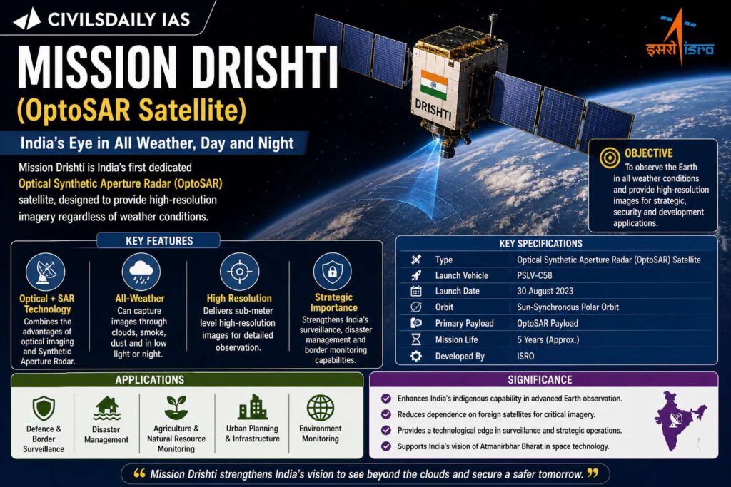
Key Facts
- Satellite: Mission Drishti
- Weight: 190 kg
- Launch site: Vandenberg, California
- Developed by: GalaxEye (Bengaluru)
- Category: Earth Observation Satellite
Unique Feature
- First satellite globally to combine:
- Electro Optical (EO) imaging
- Synthetic Aperture Radar (SAR)
- Known as OptoSAR technology
What is OptoSAR?
- Integration of:
- Optical imaging (visible spectrum)
- Radar imaging (microwave signals)
- Enables:
- All weather imaging
- Day and night observation
Key Concepts
Electro Optical (EO) Sensors
- Capture images using visible and infrared light
- Affected by cloud cover and darkness
Synthetic Aperture Radar (SAR)
- Uses radio waves
- Works in all weather conditions and at night
Applications
- Defence and surveillance
- Agriculture monitoring
- Disaster management
- Maritime surveillance
- Infrastructure planning
Institutional Context
- Supported by IN-SPACe
- Part of India’s growing private space ecosystem
- Complements ISRO missions
| [2019] For the measurement/ estimation of which of the following are satellite images/remote sensing data used? 1. Chlorophyll content in the vegetation of a specific location 2. Greenhouse gas emissions from rice paddies of a specific location 3. Land surface temperatures of a specific location Select the correct answer using the code given below. [A] 1 only [B] 2 and 3 only [C] 3 only [D] 1, 2 and 3 |