Why in the News
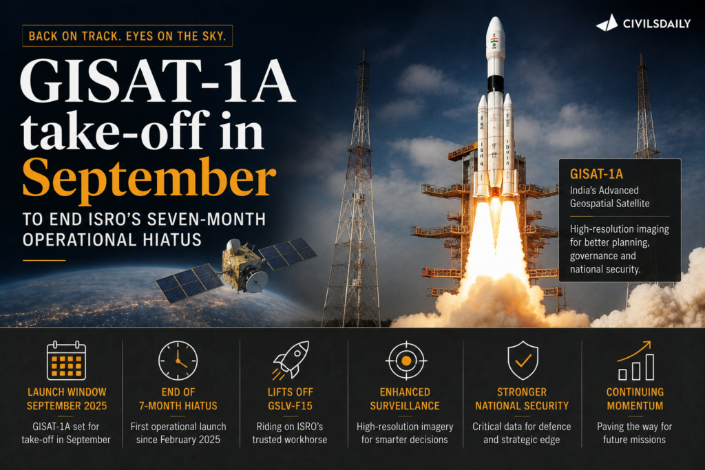
The Indian Space Research Organisation (ISRO) is set to resume launches in the first week of September 2026 with GISAT 1A, after a seven month operational pause.
The pause followed multiple mission failures and has affected NavIC, which currently has only 3 operational satellites, against the 4 required for basic standalone positioning.
What is GISAT 1A?
- GISAT: Geo Imaging Satellite
- Also designated EOS 05.
- Earth observation satellite with a 10-year mission life.
- Provides frequent imaging of large areas.
- Applications include disaster monitoring, agriculture and forestry.
- It replaces GISAT 1 / EOS 03, which failed to reach orbit in 2021.
What is NavIC?
- NavIC: Navigation with Indian Constellation
- Formerly called IRNSS: Indian Regional Navigation Satellite System.
- Developed by ISRO.
- Provides Positioning, Navigation and Timing (PNT) services.
- Covers India and surrounding regions.
- Reduces dependence on foreign navigation systems.
- Currently operational: IRNSS 1B, IRNSS 1I and NVS 01.
Why are 4 Satellites Needed?
- Positioning requires signals from at least 4 satellites to determine:
- Three-dimensional position
- Receiver clock error
- With only 3 satellites, NavIC cannot provide standalone positioning, though its timing service remains functional.
What is PNT?
- Positioning: Determines location.
- Navigation: Determines movement and route.
- Timing: Provides precise time reference.
Why Did ISRO’s Launch Calendar Stall?
Three of six missions during 2025 and 2026 failed to achieve their intended objectives:
- PSLV C61 / EOS 9: Third-stage anomaly.
- PSLV C62 / EOS N1: Third-stage anomaly in January 2026.
- GSLV F15 / NVS 02: Orbit-raising manoeuvres failed.
- Failure analysis reports for these missions have not been made public.
What Comes Next?
- September 2026: GISAT 1A
- November 2026: NVS 03
- NVS 03 is expected to restore NavIC to the 4-satellite minimum for standalone positioning.
- Meanwhile, Indian armed forces continue using NavIC alongside GPS, Galileo and GLONASS.
“[2018] With reference to the Indian Regional Navigation Satellite System (IRNSS), consider the following statements :
1. IRNSS has three satellites in geostationary and four satellites in geosynchronous orbits.
2. IRNSS covers entire India and about 5500 sq. km beyond its borders.
3. India will have its own satellite navigation system with full global coverage by the middle of 2019.
Which of the statements given above is/are correct ?
(a) 1 only
(b) 1 and 2 only
(c) 2 and 3 only
(d) None
Answer: (a)”
