
Context
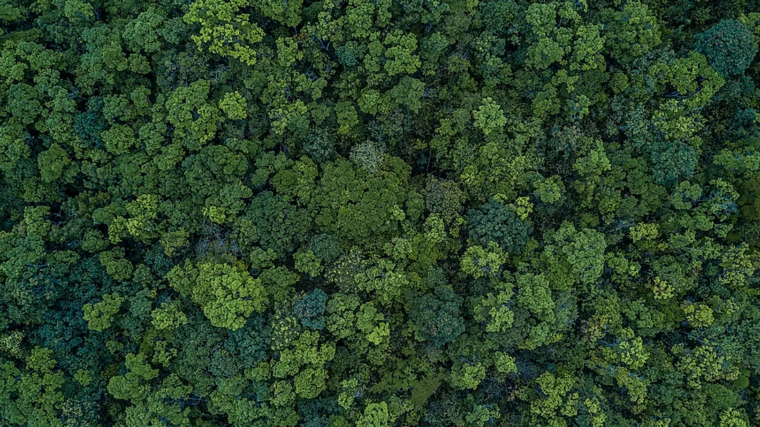
- Forests play an extremely important role in ensuring ecological balance and existence of life on the earth.
- However, rampant cutting of trees and thinning of forests has been taking place in the country due to activities related to development and infrastructure building, emphasise the environmental experts.
- Thus, in a bid to keep up the pace of conservation of forests amidst developmental activities, the Forest Survey of India (FSI), an organisation under MoEFCC started monitoring forest cover in 1987.
- Under the same initiative, FSI released its biennial assessment report, India State of Forest Report 2019.
India State of Forest Report (ISFR)
- The ISFR is a biennial report published by the Forest Survey of India (FSI).
- FSI has been mandated to assess the forest and tree resources of the country including wall-to-wall forest cover mapping in a biennial cycle.
- Starting 1987, 16 assessments have been completed so far. ISFR 2019 is the 16th report in the series.
Highlights of the report

- In the present assessment, the total forest and tree cover of the country is 80.73 million hectare which is 24.56 per cent of the geographical area of the country.
- As compared to the assessment of 2017, there is an increase of 5,188 sq. km in the total forest and tree cover of the country.
- Out of this, the increase in the forest cover has been observed as 3,976 sq km and that in tree cover is 1,212 sq. km.
- Range increase in forest cover has been observed in open forest followed by very dense forest and moderately dense forest.
- The top three states showing increase in forest cover are Karnataka (1,025 sq. km) followed by Andhra Pradesh (990 sq km) and Kerala (823 sq km).
Some Major Findings
- Area-wise Madhya Pradesh has the largest forest cover in the country followed by Arunachal Pradesh, Chhattisgarh, Odisha and Maharashtra.
- In terms of forest cover as percentage of total geographical area, the top five States are Mizoram (85.41%), Arunachal Pradesh (79.63%), Meghalaya (76.33%), Manipur (75.46%) and Nagaland (75.31%).
Increase in the tree cover
- Tree cover comprises of tree patches of size less than 1 hectare occurring outside the recorded forest area.
- The tree cover of the country is estimated as 95,027 sq km which is 2.89% of the geographical area.
- Maharashtra has had the highest increase in tree cover and a large part of that is due to horticulture.
Forest Cover in Tribal Districts
- The total forest cover in the tribal districts is 4,22,351 sq km, which is 37.54% of the geographical area of these districts.
- There has been a decrease of 741 sq km of forest cover within the Recorded Forest Area/ Green Wash (RFA/GW) in the tribal districts and an increase of 1,922 sq km outside.
- There has been a decline in tree cover inside forests due to tribal populations getting “land titles” (patta) and there has been a rise in trees outside the forest area due to an increase in tree plantation and afforestation.
Mangroves
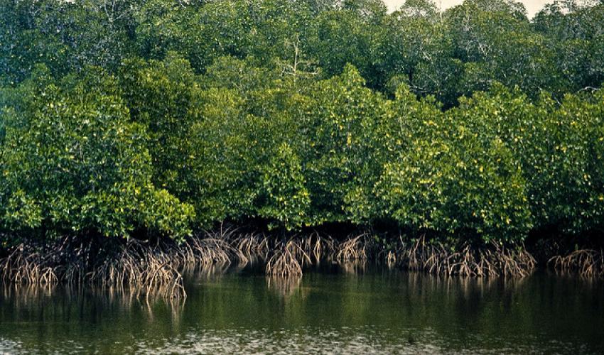
- Mangrove cover has been separately reported in the ISFR 2019 and the total mangrove cover in the country is 4,975 sq km.
- An increase of 54 sq Km in mangrove cover has been observed as compared to the previous assessment of 2017.
- Top three states showing mangrove cover increase are Gujarat (37 sq km) followed by Maharashtra (16 sq km) and Odisha (8 sq km).
Bamboo
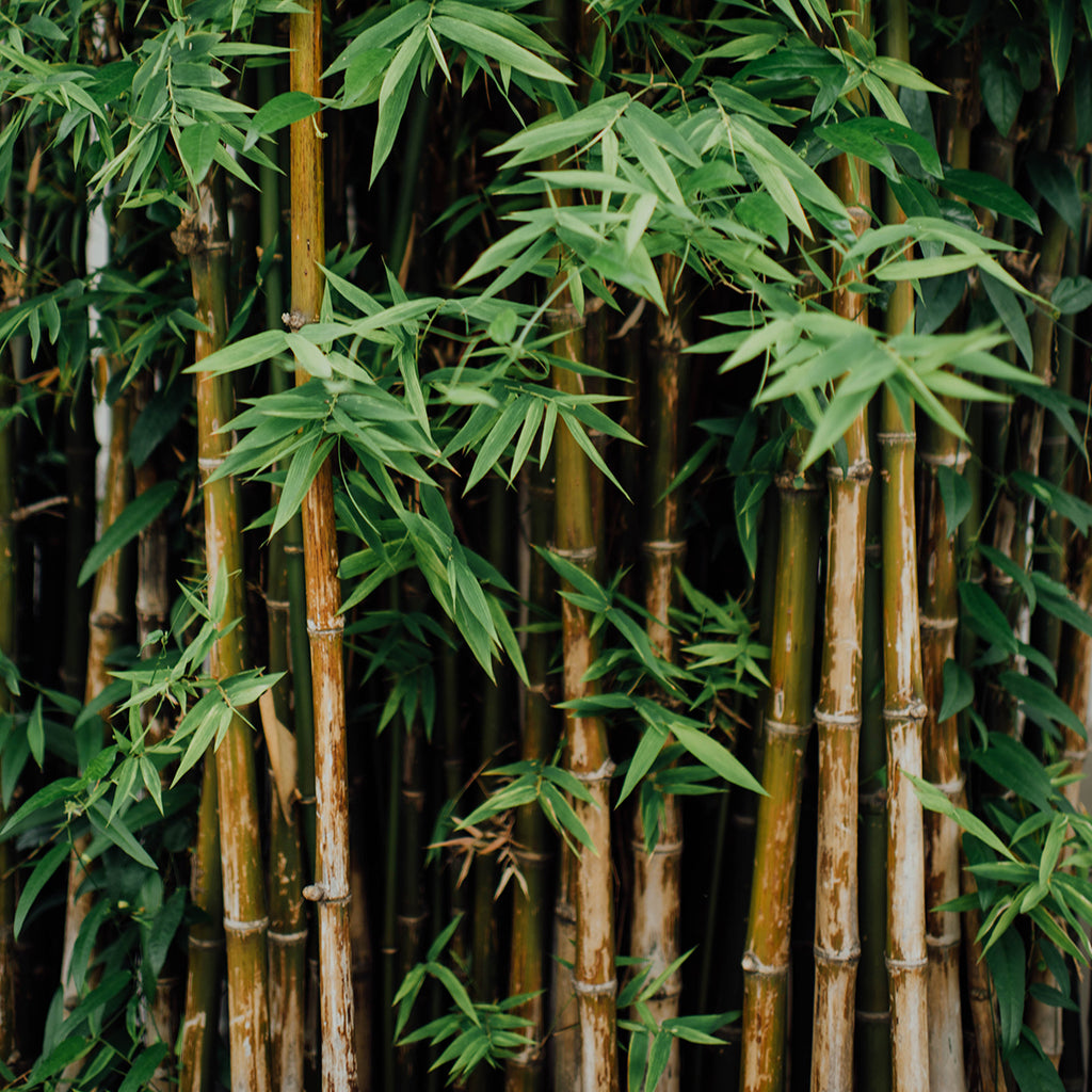
- The extent of bamboo bearing area of the country has been estimated 16.00 million hectare.
- There is an increase of 0.32 million hectare in bamboo bearing area as compared to the last assessment of ISFR 2017.
Wetlands

- Wetlands within forest areas form important ecosystems and add richness to the biodiversity in forest areas, both of faunal and floral species.
- Due to importance of wetlands, FSI has carried out an exercise at the national level to identify wetlands of more than 1 ha within RFA.
- There are 62,466 wetlands covering 3.8% of the area within the RFA/GW of the country.
Carbon Stock

- Under the current assessment the total carbon stock in country’s forest is estimated 7,124.6 million tonnes.
- There an increase of 42.6 million tonnes in the carbon stock of country as compared to the last assessment of 2017.
- The annual increase in the carbon stock is 21.3 million tonnes, which is 78.2 million tonnes CO2 eq.
Decline of Forest Cover in North Eastern
- Total forest cover in the North Eastern region is 1,70,541 sq km, which is 65.05% of its geographical area.
- There has been a decrease of forest cover to the extent of 765 sq km (0.45%) in the region.
- Except Assam and Tripura, all the States in the region show decrease in forest cover.
Forest Fires
- About 21.40% of forest cover in India is prone to fires, with forests in the north-eastern region and central India being the most vulnerable a/c to the report.
- The forest fire points (FFP) identified during the 13 years add up to 2,77,758.
- They were analysed using a moderate resolution imaging spectro-radiometer (MODIS) by overlaying the points coverage over the grid coverage of 5 km x 5 km.
- The analysis showed that extremely fire-prone areas account for 3.89% of total forest cover, very highly fire-prone areas account for 6.01% and highly fire-prone areas for 11.50%.
- Together, the three categories come to 21.40 % of forest cover.
to be continued …….

Comments
One response to “[Burning Issue] India State of Forest Report 2019 : Part-I”
The editor must mention the valid link for the source of information.