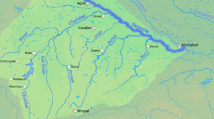
Union Minister of Agriculture & Farmers’ Welfare held a meeting with World Bank representatives to bring large Ravines of Gwalior–Chambal region under agriculture.
Try this question for mains:
Q.What is Badland Topography? Discuss the scope of their utilization as arable land in India.
What are Ravines?

- Badland topography is a major feature of the Chambal valley is characterized by an undulating floodplain, gullies and ravines.
- Ravines are a type of fluvial erosional feature and are formed as a result of constant vertical erosion by streams and rivers flowing over semi-arid and arid regions.
How are they formed?
- Researchers consider the regional climate as a major factor in the formation of ravines.
- Climate indeed plays a huge role by supplying the water in the form of rain or snow as well as providing the temperature variations.
- However, the ravines of Chambal are a bit difficult to be explained solely on climatic terms.
- The region through which the Chambal River flows does not receive enough rainfall to create ravines that are 60–80 m deep.
- Researchers have attributed neotectonic activities to the Chambal ravines genesis.
Other factors
- It is well known that rivers are full of energy and actively erode in their initial phases and progressively become passive as they attain their base levels.
- But sometimes, due to tectonic movements, the base level may be lowered further thus energizing the river and reactivating the erosion. This is known as River Rejuvenation.
- Moreover, wind erosion has also contributed to the formation of Chambal ravines.
Back2Basics: What are Badlands?
- Badlands are erosional landforms of highly dissected morphology that are created on soft bedrock in a variety of climate conditions.
- They develop in arid to semiarid areas where the bedrock is poorly cemented and rainfall is generally heavy and intermittent.
- The dry, granular surface material and light vegetation are swept from the slopes during showers, leaving the gullies bare.