Why in News?
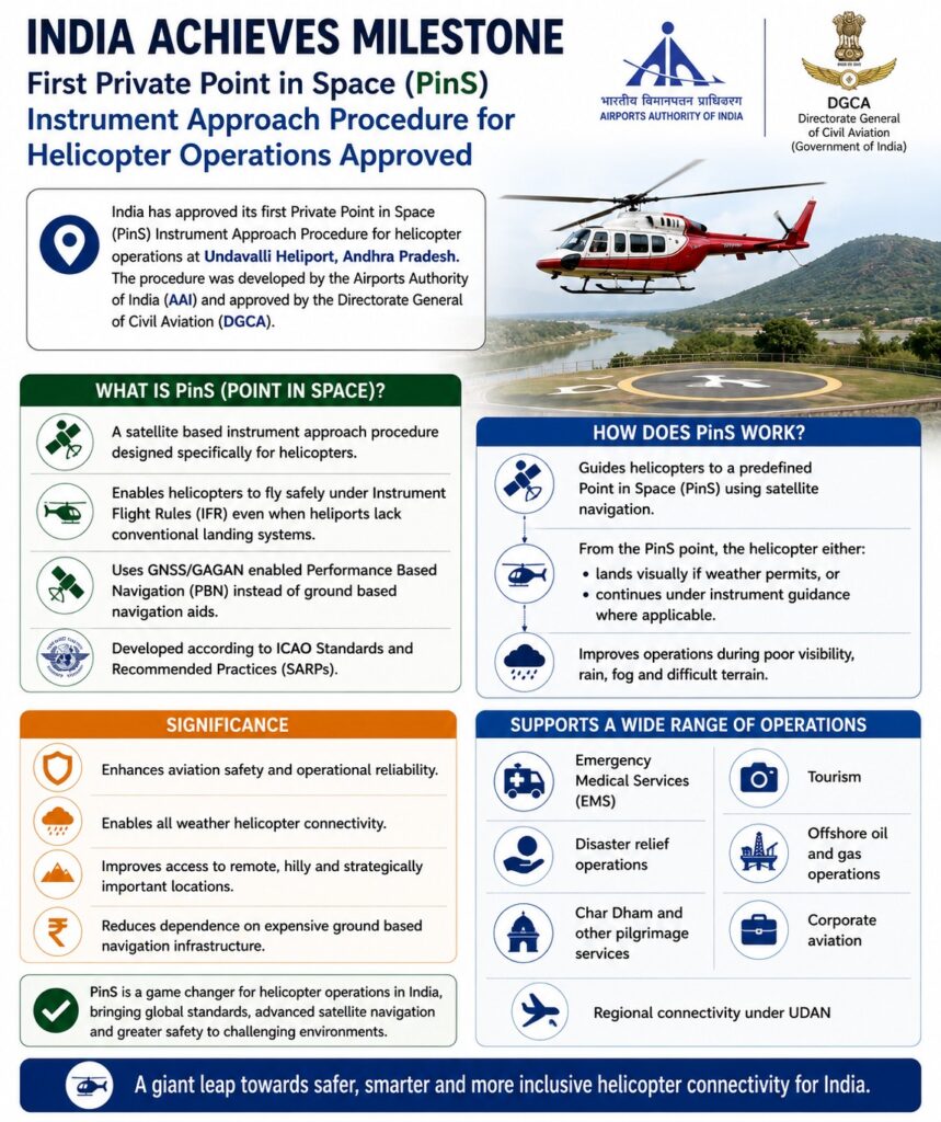
India has approved its first Private Point in Space (PinS) Instrument Approach Procedure for helicopter operations at Undavalli Heliport (Andhra Pradesh). The procedure was developed by the Airports Authority of India (AAI) and approved by the Directorate General of Civil Aviation (DGCA).
What is PinS (Point in Space)?
- A satellite based instrument approach procedure designed specifically for helicopters.
- Enables helicopters to fly safely under Instrument Flight Rules (IFR) even when heliports lack conventional landing systems.
- Uses GNSS/GAGAN enabled Performance Based Navigation (PBN) instead of ground based navigation aids.
- Developed according to ICAO Standards and Recommended Practices (SARPs).
How does PinS work?
- Guides helicopters to a predefined Point in Space (PinS) using satellite navigation.
- From the PinS point, the helicopter either lands visually if weather permits, or continues under instrument guidance where applicable.
- Improves operations during poor visibility, rain, fog and difficult terrain.
Significance
- Enhances aviation safety and operational reliability.
- Enables all weather helicopter connectivity.
- Improves access to remote, hilly and strategically important locations.
- Reduces dependence on expensive ground based navigation infrastructure.
- Supports: Emergency Medical Services (EMS), Disaster relief operations, Char Dham and other pilgrimage services, Tourism, Offshore oil and gas operations, Corporate aviation, and Regional connectivity under UDAN.
Instrument Flight Rules (IFR)
- Flight operations conducted primarily using cockpit instruments rather than visual references.
- Essential during poor weather and low visibility.
Performance Based Navigation (PBN)
- Navigation based on aircraft performance standards using satellite navigation.
- Improves route efficiency, safety and fuel savings.
GAGAN (GPS Aided GEO Augmented Navigation)
- India’s Satellite Based Augmentation System (SBAS).
- Developed jointly by ISRO and AAI.
- Enhances the accuracy and integrity of GPS signals for civil aviation.
[2025] GPS-Aided Geo Augmented Navigation (GAGAN) uses a system of ground stations to provide necessary augmentation. Which of the following statements is/are correct in respect of GAGAN?
I. It is designed to provide additional accuracy and integrity.
II. It will allow more uniform and high quality air traffic management.
III. It will provide benefits only in aviation but not in other modes of transportation.
Select the correct answer using the code given below.
[A] I, II and III
[B] II and III only
[C] I only
[D] I and II only