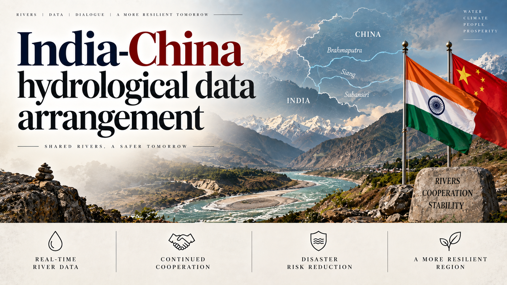
Why in the News
India’s most important rivers rise in a region it cannot see into, controlled by China, which treats the data about them as an asset to switch on and off. The Brahmaputra rises as the Yarlung Tsangpo in Tibet and enters Arunachal Pradesh as the Siang, and the Sutlej and the Indus rise there too. The arrangement that governs what India learns about them, a pair of flood-season memorandums, lapsed in June 2025. China broke ground in July 2025 on the Medog project at the Great Bend of the Yarlung Tsangpo, immediately upstream of the point where the river turns towards Arunachal Pradesh. The tension is that hydrological data on rivers India depends on is a discretionary favour rather than a treaty right, and India practises the same discretion on the rivers where it sits upstream.
What is the India-China hydrological data arrangement?
- No water treaty exists between the two countries: The relationship rests on two flood-season memorandums, one on the Brahmaputra signed in 2002 and one on the Sutlej signed in 2005.
- India pays for the data it receives: India pays roughly Rs 1 crore a year for the flood-season information supplied under those memorandums.
- A consultative body that convenes at China’s convenience: An expert-level consultative mechanism sits alongside the memorandums and meets when relations allow.
- The instrument is seasonal by design: The memorandums cover the flood season, so hazards arising outside that window carry no notification obligation at all.
Why is there no legal floor under the arrangement?
- Both states sit outside the governing convention: The 1997 United Nations Convention on the Law of the Non-Navigational Uses of International Watercourses would oblige an upstream state to give prior notice of works and not to cause significant harm to those below. China voted against it and India abstained.
- A non-binding memorandum can be suspended without breach: Withholding data under such an arrangement carries no legal consequence, so there is nothing for India to invoke when supply stops.
Why does shared data function as a lever rather than a right?
- Supply tracks the state of the boundary dispute: China stopped sharing Brahmaputra data during the Doklam standoff of 2017, blaming damaged collection sites, even as that summer’s floods killed scores in Assam.
- The pattern repeated and then ended the arrangement: Sharing resumed once relations thawed, dried up after the Galwan clash of 2020, and the memorandum lapsed in June 2025.
- Flood prediction data is not a neutral public good: It is released when ties are warm and withdrawn when they are not, which makes it a bargaining instrument rather than a technical input.
- Reassurances cannot be checked: Beijing attributes the stoppages to technical faults, calls the dam “fully within China’s sovereignty” and promises it will “prevent and mitigate disasters”. Those meant to be reassured cannot verify any of it, because the region is sealed and India, which hosts the Dalai Lama and the largest Tibetan exile community, is viewed with particular suspicion.
What does the Medog project add to India’s exposure?
- The largest hydropower project in the world, at the worst possible point: The Medog project at the Great Bend will run to 60 GW, sited just before the Yarlung Tsangpo turns towards Arunachal Pradesh.
- It sits on the seam that generates the hazard: The site lies in one of the planet’s most seismically violent zones, the same tectonic seam that produces the outburst floods now hitting the border.
- Downstream states have been told nothing: Arunachal Pradesh’s Chief Minister has called the project an “existential threat” to the Siang valley. Bangladesh, at the river’s end, sought details in early 2026 and received none.
Where does India’s own record cut against its demand?
- India settled for paid data instead of pressing for a right: Successive governments accepted the paid-data memorandum and did not push for the binding, basin-wide architecture that would make information an entitlement rather than a favour.
- India is an upstream withholder on its own rivers: It shares thinly with Bangladesh, and it has placed the Indus Waters Treaty, 1960 in abeyance following the Pahalgam terror attack.
- The same logic runs in both directions: The reasoning India faces on the Brahmaputra is the reasoning it practises on the Indus, which removes the ground from which it could demand a rule of general application.
What do the Senegal and Mekong models show is possible?
- Poverty is not the constraint: On the Senegal River, four of the world’s poorest African countries jointly own their dams as “common and indivisible property”.
- Nor is conflict: That joint ownership was sustained even through a war between two of the member states, so mistrust between riparian governments does not by itself prevent pooled sovereignty over a river.
- China’s absence is a choice, not a limitation: Its neighbours built the Mekong River Commission and China stayed outside it, which shows the refusal to enter a basin institution is political rather than structural.
Challenges to a binding India-China river arrangement
- Forecasting depends on a single unverifiable supplier: Flood forecasting for the Brahmaputra rests on upstream gauge readings that no Indian agency can independently audit, so a stoppage removes the input rather than degrading it. Eg. Central Water Commission forecasts for the Assam valley are built on flows measured at stations India cannot access.
The Fix: Fund independent satellite-based flow and precipitation estimation for the upper basin, so a data cut-off reduces accuracy instead of ending the forecast. - The hazards that kill fall outside the covered season: Glacial lake outburst floods and landslide-dam breaches occur without regard to the monsoon calendar the arrangement is built around. Eg. The South Lhonak glacial lake outburst flood of October 2023 destroyed the Teesta-III dam in Sikkim and killed dozens, outside any flood-season notification window.
The Fix: Negotiate a year-round hazard-notification obligation covering lake formation, landslide damming and reservoir release, separately from seasonal flow data. - Water has no forum of its own: The boundary question runs through the Special Representatives channel, and water sits in a separate expert mechanism with no power to compel a meeting or an answer. Eg. An interruption in data supply has no body before which it can be formally raised as a breach.
The Fix: Give the expert mechanism a fixed annual calendar and a standing agenda item on notification failures, so a stoppage produces a documented exchange. - The lower riparians negotiate separately on the same river: India, Bangladesh and China each deal bilaterally, so the basin’s downstream users never present a common position. Eg. India and Bangladesh’s Joint Rivers Commission covers 54 shared rivers and has produced only two water-sharing treaties in five decades.
The Fix: Raise the Yarlung Tsangpo-Brahmaputra as a joint India-Bangladesh agenda item so notification is sought by the whole downstream reach at once. - India’s own counter-project is contested at home: Storage proposed on the Siang as a strategic answer to Medog is opposed by the communities it would displace, which weakens the case India makes about consultation. Eg. Survey work for the Siang Upper Multipurpose Project has faced sustained local protest in Arunachal Pradesh.
The Fix: Settle consent and compensation on the Indian side of the border before advancing a counter-dam as a security argument.
Conclusion
India cannot compel China to open the plateau, and the question is therefore not about leverage but about design. What is missing is an architecture that makes hazard information an obligation owed to everyone downstream rather than a concession granted when relations permit. Building it requires India to accept the same obligation on the rivers where it sits upstream, since a rule it will not apply to itself is not a rule it can ask for. The unresolved point is whether a shared river is treated as a common lifeline or as a weapon held in reserve, and neither government has yet chosen.
Transboundary River Water Sharing in India
- About: A transboundary river crosses an international boundary, and its use is governed by bilateral treaties and memorandums between the riparian states rather than by a single binding global law.
- India’s position is both upstream and downstream: India is the lower riparian to China on the Brahmaputra, the Sutlej and the Indus headwaters, and the upper riparian to Pakistan on the Indus system and to Bangladesh on the Ganga and the Teesta.
- The dependence is agricultural: Around 45% of irrigation in the Indo-Gangetic plain depends on water from the Himalayan rivers, which is why control of the headwaters translates directly into food security.
Laws and Agreements Governing Transboundary River Water Sharing
- Indus Waters Treaty, 1960 (India-Pakistan): Brokered by the World Bank, it assigns the Eastern Rivers (Ravi, Beas, Sutlej) to India and the Western Rivers (Indus, Jhelum, Chenab) to Pakistan, with run-of-the-river hydropower and limited storage permitted to India on the Western Rivers.
- Article XII: Termination is possible only through a ratified treaty between both governments, and the text carries no suspension provision.
- Ganga Waters Treaty, 1996 (India-Bangladesh): It fixes the sharing of dry-season flows at the Farakka Barrage and runs for 30 years, expiring in December 2026.
- Kushiyara River Treaty, 2022 (India-Bangladesh): It provides for withdrawal of an agreed quantum from the Kushiyara in the dry season, and is only the second water-sharing treaty between the two countries.
- Kosi Agreement, 1954 and Gandak Agreement, 1959 (India-Nepal): These provide for flood control, barrage construction and irrigation management on shared rivers, with India funding and operating the structures on Nepali territory.
- Mahakali Treaty, 1996 (India-Nepal): It covers the integrated development of the Mahakali river, including the Pancheshwar Multipurpose Project, which remains stalled over disagreement on benefit-sharing.
Challenges in Transboundary River Water Sharing
- The customary principles bind weakly without a forum: Equitable and reasonable utilisation and the obligation not to cause significant harm are widely accepted in principle, and no standing tribunal exists to apply them to a river basin. Eg. The Mekong River Commission can review a member’s dam proposal and cannot stop it.
The Fix: Build compulsory technical arbitration into each treaty at renewal, so a disputed project has a named forum rather than a bilateral stalemate. - Treaties fix volumes that the climate then moves: Allocations negotiated on decades-old flow records become unworkable as glacier melt, monsoon variability and river morphology change the water actually available. Eg. Negotiations over the Ganga sharing formula are complicated by changing river morphology and by disagreement over water levels at Farakka.
The Fix: Replace fixed quantum allocations with percentage-of-flow formulas carrying explicit dry-year and surplus-year rules. - Domestic federal politics stalls bilateral agreements: A riparian State’s objection can hold up an agreement the two national governments have already negotiated. Eg. The draft Teesta agreement of 2011, providing for a 50:50 sharing arrangement, has never been implemented.
The Fix: Include the riparian State in the negotiating delegation from the outset, rather than seeking its concurrence after a text is settled. - Third parties build in the same basin without notice: A neighbour can bring in external financing and construction for a project on a shared river without consulting the other riparian. Eg. Bangladesh has re-engaged China on the Teesta River Management Project.
The Fix: Write a prior-notification and joint-appraisal requirement for any new structure into every treaty renewal, applying to externally financed projects as well.
[2016, GS1, 12 marks] Present an account of the Indus Water Treaty and examine its ecological, economic and political implications in the context of changing bilateral relations.
