Why in the News?
A recent IIT Indore study shows that climate change has caused a 10% shrinkage in the Gangotri Glacier System over four decades, altering snowmelt and hydrology.
About Gangotri Glacier System (GGS):
- Location: Uttarkashi District, Uttarakhand, in the Central Garhwal Himalayas.
- Origin: Near the Chaukhamba massif at ~7,000 metres above sea level.
- Size: Main trunk 30–32 km long, 2–4 km wide, with a total glacierized area of ~252 sq. km.
- Snout: Known as Gaumukh (“cow’s mouth”), source of the Bhagirathi River, which later merges with the Alaknanda at Devprayag to form the Ganga.
- Tributaries: Includes Chaturangi, Raktavarn, Meru, Rudugaira, Kedar, and Vasuki glaciers.
- Type: Valley-type glacier with granite, gneiss, and schist bedrock.
- Features: Moraines, supraglacial lakes, crevasses, and avalanche fans.
- Debris Cover: 20–24% of the glacier area is debris-covered, affecting melting rates.
Key Findings of the IIT Indore Study (1980–2020):
- Flow Contribution: Snowmelt 64%, glacier melt 21%, rainfall-runoff 11%, base flow 4%.
- Decline in Snowmelt Share: From 73% in 1980–90 to 63% in 2010–20, reflecting climate change impact.
- Temperature Rise: Mean annual temperature increased by 0.5°C in 2001–2020 compared to 1980–2000.
- Shift in Peak Discharge: From August to July since the 1990s due to earlier melting and reduced winter precipitation.
- Snowmelt Rebound: During 2010–2020, colder winters (–2°C) and higher winter precipitation (262 mm) increased snow accumulation.
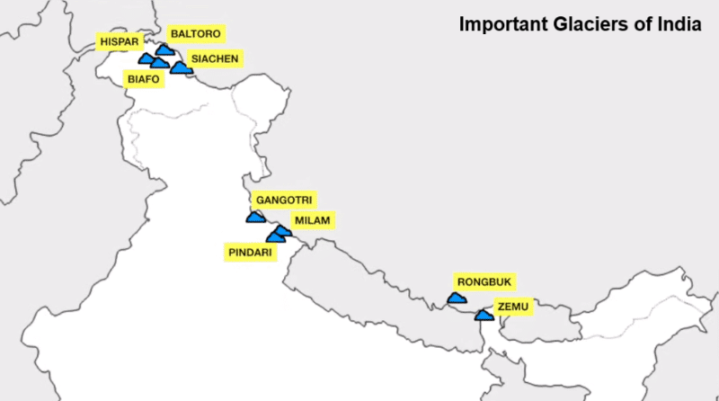
| [UPSC 2019] Consider the following pairs:
Glacier: River 1. Bandarpunch -Yamuna 2. Bara Shigri -Chenab 3. Milam -Mandakini 4. Siachen -Nubra 5. Zemu -Manas Which of the pairs given above are correctly matched? Options: (a) 1, 2 and 4* (b) 1, 3 and 4 (c) 2 and 5 (d) 3 and 5 |

