💥Mains Ready By December. Smash Mains & Smash PYQ Admissions Open

Type: Discovered/Found

  • Tamil links to West Asia: What underwater excavations in Chola capital reveal

    Why in the News

    Poompuhar’s trade with West Asia, known so far from Sangam literature and shipping records, now has fresh evidence from the seabed off the ancient Chola port: a fragment of a West Asian “torpedo jar”, found with four terracotta ring wells and more than 250 ceramic fragments. The Tamil Nadu State Department of Archaeology (TNSDA) recovered them with the Indian Maritime University in an 18 day underwater exploration.

    What was Poompuhar?

    1. What it is: Poompuhar (Kaveripoompattinam), in Mayiladuthurai district, was a port at the mouth of the 800 km Cauvery. It is believed to be the early Chola capital and their gateway to the sea.
    2. Literary fame: It features prominently in Sangam and post-Sangam literature, so its trade was known from texts before divers reached it.
    3. Age of the city: Carbon dating, which dates organic remains, was done on a wooden log. A 2011 archaeology report cites it as showing the city existed by the 4th century BCE.
    4. Layout: The city had three parts: Maruvurppakkam on the seashore, Pattinappakkam to the west, and Nalangadi between them.
    5. The takeaway: Finds off Poompuhar show how far early Tamil trade reached, because the port carried the kingdom’s sea traffic.

    What does the new exploration reveal?

    1. Torpedo jar: The fragment is of a fine ceramic jar about 30 to 35 cm across. Such long jars carried wine and olive oil across ocean trade routes.
    2. Link to the West: The jar is evidence of Poompuhar’s maritime links with West Asia and the Mediterranean world.
    3. Ring wells on the seabed: Ring wells, pits lined with terracotta rings, were dug on land for fresh water. Underwater, they suggest a buried palaeochannel, an old riverbed drowned by coastal erosion and rising seas.

    How old and wide were Poompuhar’s trade links?

    1. Earlier record of shipping: A 1996 paper by Sila Tripati, A.S. Gaur and others records ships from Tamralipti (West Bengal) and Palur (Odisha) calling at Poompuhar on their way to Southeast Asia, Arabia and Rome.
    2. Earlier offshore finds: Earlier surveys found Sangam period brick structures, ring wells, storage jars and megalithic pottery offshore. They show people lived beyond today’s shore, probably around a public building, wharf and reservoir.
    3. Chola branding: Exports were stamped with a tiger symbol marking Chola origin.
    4. Imports: Articles came from the Ganges region, food from Ceylon and spices from Java, brought by merchants from across India and Southeast Asia.

    Why did the city go under the sea?

    1. Floods: Floods are believed to have swallowed much of the city around the 4th or 5th century CE.
    2. Tsunami: Studies also suggest a tsunami struck around the 3rd century CE.
    3. Two scholarly views: Either the whole city sank and was rebuilt, or only part was engulfed. The 2011 report’s authors favour the second.
    4. The legend: In legend, the city’s goddess drowned it after a grieving king skipped Indra Vizha, a harvest festival for Indra (Vendhan), god of rain. Sreelata Menon’s 2025 book “In Search of Lost Cities” retells it.

    Challenges

    1. Contested dating: Currents move submerged objects from their original layer, so dates stay disputed.
    2. Short diving seasons: Poor visibility, currents and the monsoon limit working time underwater.
    3. Ongoing erosion: The erosion that drowned the city keeps wearing down offshore remains.

    Way Forward

    1. Scientific dating: TNSDA should date the jar and ring wells by thermoluminescence and radiocarbon methods.
    2. Map the buried channel: Use side scan sonar and sub bottom profiling, which image the seabed and the layers under it, to trace the palaeochannel.
    3. Pool expertise: Link the team with the Council of Scientific and Industrial Research (CSIR)-National Institute of Oceanography, which led earlier Poompuhar surveys.

    Conclusion

    Poompuhar’s seabed confirms that the early Chola coast sat on an ocean network reaching the Mediterranean, but most of that evidence now lies underwater. How and when the city sank stays unresolved until securely dated finds settle it.

    Back2Basics: Sangam literature

    1. What it is: The earliest body of Tamil literature, traditionally linked to three assemblies of poets under Pandya patronage, the last at Madurai.
    2. Main collections: Ettuthogai (Eight Anthologies) and Pattuppattu (Ten Idylls), with Tolkappiyam as the earliest Tamil grammar.
    3. Puhar in the texts: Pattinappalai, one of the Ten Idylls, describes Puhar’s port and trade under the Chola king Karikala.
    4. Post-Sangam epics: Silappatikaram by Ilango Adigal opens in Puhar, and Manimekalai narrates the city’s destruction by the sea.

    Matching Previous Year Question

    “[2023] With reference to ancient South India, Korkai, Poompuhar and Muchiri were well known as (a) capital cities (b) ports (c) (d) centres of iron and steel making (d) shrines of Jain Tirthankaras Answer: (b)”

  • New cat in habitat, and some glimmer of hope

    Why in the News

    A new species of wild cat, Leopardus tilcayo, has been described in Bolivia, the first feline species identified in a hundred years. A new penguin species, also the first in a century, has been described on a group of subantarctic islands, and a new snake species has been described in New Guinea. A 2025 University of Arizona study records that 15 per cent of all known species were described in the last 20 years. The tension the item raises is that species are being found faster than ever at the same moment that loss of species dominates public attention, and that most of these discoveries reach no audience beyond the scientific and conservation communities.

    What has actually been described?

    1. A new wild cat: Leopardus tilcayo has been described in Bolivia. It is the first discovery of a feline species in a hundred years, which is why it drew the loudest response of the three.
    2. A new penguin: A new penguin species has been described on a group of subantarctic islands, and it too is the first in its group in a century.
    3. A new snake: A new snake species has been described in New Guinea and named after the guitarist Slash.
    4. What a description is: A species is described when a specimen is formally published with a diagnosis separating it from every named relative and a binomial name. Recognition of the animal by local communities usually long predates the formal description.

    Why is the rate of description rising?

    1. The measured pace: The 2025 University of Arizona study finds that 15 per cent of all known species were described in the last 20 years, so the quest to identify every species has accelerated rather than exhausted itself.
    2. Genetic tools separate look alike populations: DNA sequencing distinguishes populations that field observation had grouped as one species, which converts a known animal into two or more named ones.
    3. Survey effort has widened: Camera traps, acoustic recorders and systematic surveys in regions that were never surveyed intensively produce records that no expedition method previously returned.
    4. Museum collections are being re examined: Specimens collected decades ago and shelved without close study are now being sequenced, and some are found to belong to undescribed species.

    Why do most of these discoveries go unnoticed?

    1. The preference for the photogenic: Public and media attention follows animals that are visually appealing, which is why a wild cat and a penguin were reported and the invertebrate descriptions of the same period were not.
    2. Attention decides funding: Conservation money follows public interest, so charismatic vertebrates draw project funding while the taxa that carry most of the planet’s species diversity do not.
    3. The scale of what is unrecorded: Most described species are insects and other invertebrates, and the undescribed share of global diversity sits overwhelmingly in those groups rather than among mammals and birds.

    Challenges to protecting newly described species

    1. A name confers no protection: Formal description creates a scientific record, not a legal status, and assessment and listing are separate processes that follow it. Eg. An International Union for Conservation of Nature Red List assessment and a Convention on International Trade in Endangered Species listing are each decided after a species has been named.
      The Fix: Grant an interim protected status on description, lapsing once a formal assessment is completed.
    2. Publicity raises collection pressure: A newly named species with a small known range becomes a target for private collectors and the exotic pet trade, and the published description tells them where to look. Eg. Newly described reptiles and amphibians have appeared in the international pet trade shortly after their descriptions were published.
      The Fix: Withhold precise locality coordinates from published descriptions of small range species and release them only to designated authorities.
    3. Taxonomy has too few working specialists: The number of trained taxonomists able to describe a group has fallen while the backlog of collected specimens has grown. Eg. Specimens from tropical surveys routinely wait years in museum collections before anyone describes them.
      The Fix: Fund standing taxonomy positions tied to national collections and digitise specimen records so that identification is not gated on a single expert.
    4. Splitting one species into several shrinks each unit: When genetic work divides a widespread population into separate species, each resulting species holds a smaller range and a smaller population than the original did. Eg. A taxon once assessed as secure can yield two narrowly distributed species that each qualify as threatened.
      The Fix: Require a conservation reassessment of every resulting species immediately after a taxonomic split, rather than at the next scheduled review.
    5. Habitat is lost faster than it is surveyed: Land conversion in the regions that hold the most undescribed diversity removes populations before anyone records that they existed. Eg. Andean and New Guinean forests, where two of these three species were found, are under conversion and fragmentation pressure.
      The Fix: Protect habitat at the landscape level in high endemism regions rather than species by species after each description.

    Conclusion

    The rate of description and the rate of loss are both rising, and the two are not in tension, because a species can be named and lost within the same decade. What the description of a large mammal after a hundred year gap establishes is that the inventory is far from complete, which undercuts any assumption that conservation is working on a known list. The part that remains unaddressed is the gap between naming a species and protecting it, since nothing in the act of description obliges any state to do anything. What to watch is whether these three species receive conservation assessments and any protected status, and how quickly.

    Matching Previous Year Question

    “No direct PYQ traced in the provided files”

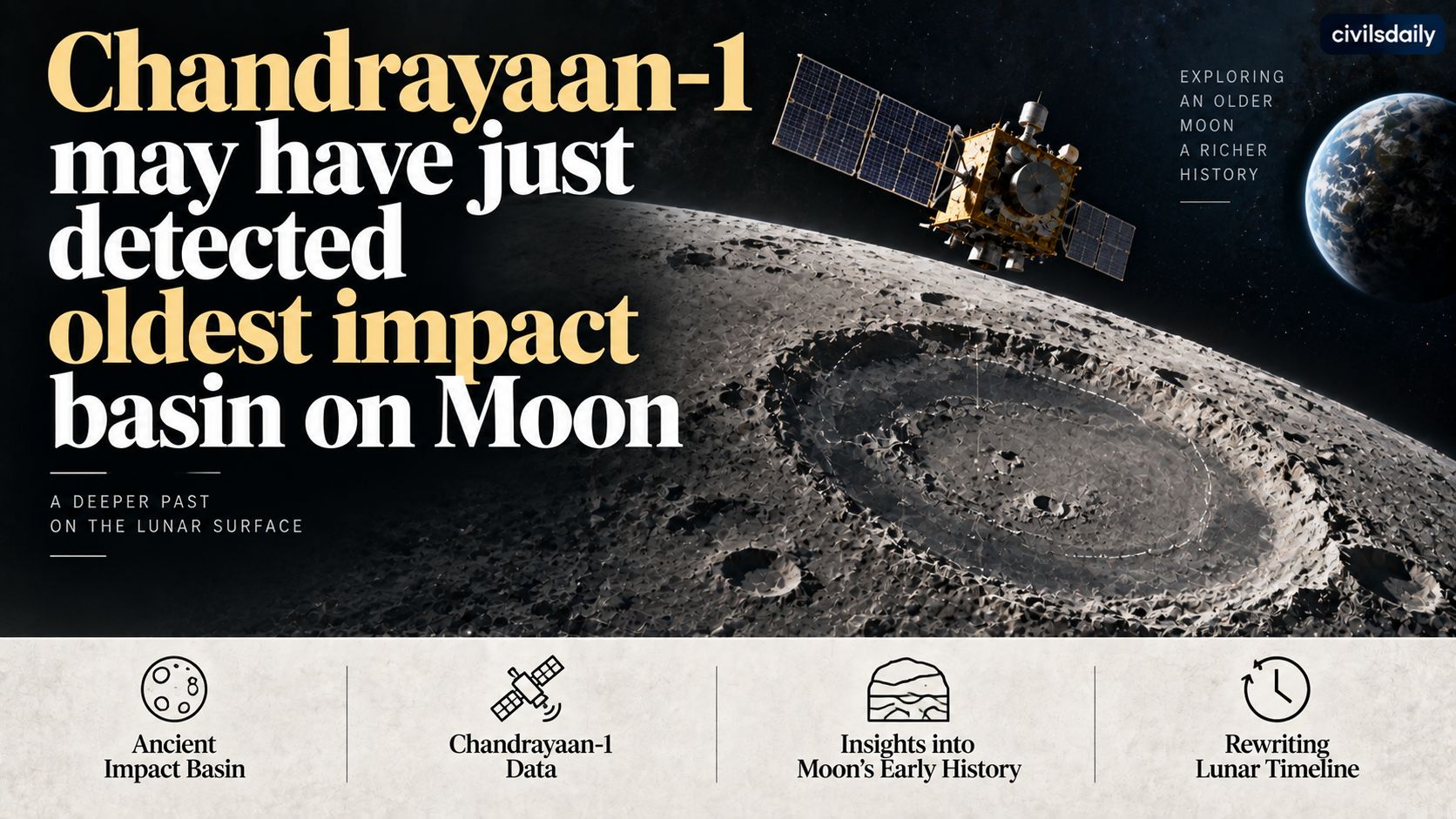
  • Chandrayaan-1 may have just detected oldest impact basin on Moon: Researchers

    Chandrayaan-1 may have just detected oldest impact basin on Moon: Researchers

    Why in the News

    Planetary scientists at the Physical Research Laboratory (PRL), Ahmedabad, have confirmed the existence of a hidden lunar impact basin, the Australe Basin, using mineralogical data gathered by Chandrayaan 1. This is the first time a concealed impact basin has been confirmed from mineralogy, and the basin had remained untraced because erosion along its rims defeats modern imaging techniques. The study, published in The Planetary Science Journal, places the basin along the southeastern hemisphere of the Moon and finds it could predate the South Pole Aitken Basin, the largest and oldest basin known. The tension is that the oldest impact record on the Moon is precisely the record surface topography has erased, so the ordering of lunar history now rests on a method that reads composition instead of shape.

    What is the Australe Basin?

    1. Australe Basin: It is a large lunar impact basin located along the southeastern hemisphere of the Moon, formed by a violent space impact such as an asteroid or meteorite strike.
    2. Why it stayed hidden: Its rims have suffered erosion, which removed the distinct outer rim that imaging techniques rely on to identify a basin.
    3. Its signature: It carries distinct morphology and gravity signatures together with an unusual mineralogical composition.
    4. Its volcanic province: It sits in a province characterised by 248 small basalt ponds arranged in a circular pattern, unlike previously known basins classified by their smooth and vast hardened lava surfaces.

    How did mineralogy find a basin that imaging could not?

    1. Moon Mineralogy Mapper: The mineralogy was detected using data from this National Aeronautics and Space Administration (NASA) imaging spectrometer, designed to build a mineralogical map of the lunar surface and operating between 405 and 3000 nanometres.
    2. The payload context: It was one of 11 scientific payloads on Chandrayaan 1, of which six were contributions from international space agencies including NASA and the European Space Agency (ESA).
    3. The method: Scientists studied the absorption bands exhibited by key lunar minerals, namely pyroxenes, olivine and plagioclase, which identify composition where topography carries no usable signal.
    4. What the composition showed: The basalts within the basin are relatively lower in calcium and higher in magnesium than the majority of lunar basalts, which are high in calcium bearing minerals.

    Why does the age claim matter, and how much of the Moon is still unmapped?

    1. The benchmark: The South Pole Aitken Basin is the largest and oldest known basin on the Moon, formed over 4 billion years ago.
    2. The claim: PRL scientists hold that the Australe Basin could be older than the South Pole Aitken Basin, which would move the earliest dated event in the lunar impact record.
    3. The detection deficit: Roughly 300 impact basins are believed to exist on the Moon and only 74 have been detected so far, so most of the lunar impact record remains unidentified.
    4. Why the eroded ones are the old ones: Basins with distinct outer rims are the ones imaging finds, so a detection method keyed to rims systematically misses the most degraded features.

    What does the finding mean for future lunar missions?

    1. The landing site link: The Chandrayaan 3 landing site, now known as Shiv Shakti point and located roughly 350 km away, also carries higher concentrations of magnesium, possibly material originally from the South Pole Aitken Basin transported there.
    2. Material spread to the south pole: Magnesium bearing lithologies are widespread across the Australe region, and since the region lies close to the lunar south polar region, material excavated by the impact is likely to have been deposited across the south pole.
    3. Reading a landing site in context: The study provides a framework to interpret data from landing missions in a broader geological context, by studying the regions that could have contributed material to those sites.
    4. The missions it serves: The mineralogical picture bears on NASA’s proposed Moon Base mission and on Chandrayaan 4, India’s lunar sample return mission, since such sites become targets for sample return.

    Challenges to lunar impact basin research

    1. Remote sensing cannot date a surface: Spectrometry identifies composition but assigns no absolute age, so an ordering claim rests on inference until a sample is dated in a laboratory. Eg. The age of the Australe Basin relative to the South Pole Aitken Basin is stated as the research team’s opinion rather than as a measured date.
      The Fix: Target the province for a sample return so radiometric dating can settle the sequence.
    2. Space weathering degrades the spectral signal: Continuous micrometeorite bombardment and solar wind alter the optical properties of the lunar surface, which mutes the absorption bands a spectrometer reads. Eg. The basin’s own rims were eroded past the point where imaging could detect them.
      The Fix: Calibrate orbital spectra against returned samples of known composition so the weathering offset is corrected rather than estimated.
    3. Coverage gaps at the poles: The lunar south polar region sits in extreme illumination conditions, so instruments that depend on reflected sunlight return poor data exactly where interest is concentrated. Eg. Permanently shadowed craters near the south pole are the targets of the proposed Moon Base and remain the least characterised terrain.
      The Fix: Pair reflectance mapping with active instruments such as radar and neutron spectrometry that do not depend on solar illumination.
    4. Sample return is technically unproven for India: Retrieving lunar material requires ascent from the surface, rendezvous in lunar orbit and a controlled return, none of which India has yet demonstrated together. Eg. Chandrayaan 4 is planned as India’s first lunar sample return mission.
      The Fix: Validate the docking and ascent elements separately in Earth orbit before committing them to a lunar sequence.
    5. Surface operations disturb the record they study: Landings and rover activity churn the regolith that later missions are sent to sample, which compromises the evidence itself. Eg. Understanding how the regolith in the south polar regions has evolved over billions of years is stated as a requirement for the missions planned there.
      The Fix: Fix exclusion zones around high value sampling terrain before the operating missions arrive rather than after.

    Conclusion

    A basin no imaging technique could see was found by asking what the surface is made of instead of what it looks like. That reverses the usual order of lunar geology, where shape identifies a feature and composition then explains it, and it puts the most degraded parts of the record back within reach. The finding is published and the age ordering remains an interpretation rather than a measurement. What to watch is whether the same mineralogical method is turned on the basins that remain undetected, and whether this province becomes a named target for the planned sample return.

    Back2Basics: Chandrayaan 1

    1. What it was: It was India’s first lunar mission, launched by the Indian Space Research Organisation in October 2008 and placed in orbit around the Moon.
    2. Launch vehicle: It was launched on a Polar Satellite Launch Vehicle from the Satish Dhawan Space Centre, Sriharikota.
    3. Its payloads: It carried 11 scientific instruments, six of them contributed by international space agencies including NASA and ESA.
    4. Its principal finding: Data from the mission led to the detection of water and hydroxyl molecules on the lunar surface, which reshaped the understanding of lunar resources.

    Matching Previous Year Question

    “[2017, GS3, 10 marks] India has achieved remarkable successes in unmanned space missions including the Chandrayaan and Mars Orbitter Mission, but has not ventured into manned space mission, both in terms of technology and logistics? Explain critically.”

  • Ten-sided wave undulates around Saturn’s south pole

    Why in the News

    Scientists have found a decagonal wave, a standing pattern with ten sides, around Saturn’s south pole. It is the first time such a feature has been reported at that pole. The finding rests on images taken from space and ground telescopes between 2023 and 2025. Saturn’s north pole has been known for decades to carry a long-lasting hexagonal wave, so the planet now presents two polar polygons with different numbers of sides. The question that follows is why one atmosphere produces two different wave patterns at its two poles.

    What has been observed at Saturn’s south pole?

    1. The shape: A wave with ten sides encircles the south pole, the counterpart of the six-sided pattern long known at the north.
    2. The evidence base: It was identified from images taken by space and ground telescopes across 2023 to 2025, so it has been seen over a span of years rather than in a single observation.
    3. The motion: The whole pattern drifts slowly eastward around the pole.
    4. The oscillation: The decagon’s vertices, the ten corners where the sides meet, move back and forth on a cycle of 32 days.

    What do researchers think the feature is?

    1. It has depth, not just outline: The wave is treated as a vertical structure extending into the atmosphere, not a pattern confined to the visible cloud tops.
    2. The first candidate cause: Unstable winds are one proposed origin, meaning a fast circumpolar flow that breaks into a regular wave pattern rather than running smooth.
    3. The second candidate cause: A nearby anticyclone, a high-pressure rotating storm system, is the other proposed origin, forcing the wave from outside.

    How does this compare with the north-polar hexagon?

    1. The hexagon is old and stable: It was first seen in Voyager images in the early 1980s and observed again from Saturn orbit two decades later, so it has persisted across most of a Saturnian year.
    2. It is very large: The hexagon spans of the order of 30,000 km, wider than the Earth, and is understood as the path of a fast jet stream circling the pole.
    3. The wave number is what differs: A six-sided and a ten-sided pattern imply different jet speeds and different shear across the jet, so the two poles are not mirror images of each other.
    4. The south pole already carried a distinct feature: A hurricane-like polar vortex with a well-defined eyewall was imaged there in the previous decade, which is a different phenomenon from a polygonal jet.

    Why is Saturn’s south pole harder to study?

    1. No spacecraft is there now: The only orbiter to have studied Saturn from close range ended its mission in 2017, so all current work depends on remote imaging from Earth orbit and from the ground.
    2. Season controls the view: Saturn is tilted about 27 degrees and takes roughly 29 Earth years to orbit the Sun, so each pole is favourably lit only for part of that cycle, and the planet passed its most recent equinox in 2025.
    3. Resolution is the limiting factor: Telescopes hundreds of millions of kilometres away resolve polar detail far less finely than an orbiting camera, which is why a repeated pattern is easier to detect than its internal structure.

    Conclusion

    Two polar polygons with different side counts on the same planet is a constraint on any model of Saturn’s atmospheric circulation, because a single explanation now has to produce both. Whether the southern feature holds for decades as the northern one has, or decays within a few years, is the question the next stretch of telescope observation will settle. No dedicated mission to Saturn’s atmosphere is scheduled, so that answer will come from the ground and from Earth-orbiting instruments rather than from a return visit.

    Back2Basics: Cassini-Huygens

    1. It was a joint mission of the National Aeronautics and Space Administration, the European Space Agency and the Italian Space Agency to study Saturn, its rings and its moons.
    2. It was launched in 1997 and entered orbit around Saturn in 2004, becoming the first spacecraft to orbit the planet.
    3. It carried the Huygens probe, which landed on Titan in 2005, the first landing in the outer solar system.
    4. The mission ended in September 2017 with a deliberate plunge into Saturn’s atmosphere, chosen to avoid contaminating potentially habitable moons.

    Matching Previous Year Question

    “Which one of the following planets has largest number of natural satellites or moons ? (a) Jupiter (b) Mars (c) Saturn (d) Venus”

  • Restoration work on temple in Goa island unearths relics from 14th to 16th century

    Restoration work on temple in Goa island unearths relics from 14th to 16th century

    Why in the News

    Restoration work at the old site of the Saptakoteshwar temple on Divar island in Goa has uncovered relics dated between the fourteenth and the sixteenth centuries.

    What was recovered, and where?

    1. A guardian motif: A Kirtimukh motif is among the finds, and its presence marks a formal temple entrance rather than an open air shrine.
    2. A structural element: A carved capital of a temple pillar was also recovered, which is the load bearing head of a column and part of a built temple rather than a portable object.
    3. The find spot: Both were recovered along the old pathway running between Koti Tirth and Madhavachi Talli.
    4. The dating: The relics and remains have been dated to between the fourteenth and the sixteenth centuries.

    Why do the finds change the reading of the site?

    1. Distribution carries the argument: The elements sit along a pathway, so it is their placement rather than the value of any single object that supports the inference.
    2. A complex rather than a shrine: Architectural members of this kind, found together, indicate a temple complex rather than one isolated structure.
    3. A sacred corridor: The alignment links the site’s water body with its associated structures into a processional route.
    4. The extent is revised: The understood extent of the island’s pre Portuguese temple landscape is now larger than the surviving remains indicated.

    Why does Saptakoteshwar matter in Goa’s religious history?

    1. A principal Shaiva site: Saptakoteshwar is counted among Goa’s principal Shaiva sites and its deity is a form of Shiva.
    2. Kadamba patronage: The Kadamba rulers of Goa held Saptakoteshwar as their tutelary deity, and the name appears on their coinage.
    3. Displacement in the Portuguese period: The Divar temple was destroyed in the sixteenth century, and the deity was moved off the island to Narve in Bicholim, which lay outside Portuguese control at the time.
    4. A later rebuilding: The temple at Narve was rebuilt in 1668 by Chhatrapati Shivaji Maharaj, and worship has continued at that site since.

    Challenges to protecting incidental archaeological finds

    1. Restoration is not excavation: Material surfacing during repair work is lifted without the layer by layer record that dates it and relates it to what lies around it. Eg. The Divar elements were recovered along a pathway during restoration rather than from a documented trench.
      The Fix: Require a licensed archaeologist to supervise any ground disturbance at a historic temple site, with layer wise recording completed before material is moved.
    2. Most sites carry no legal protection: Statutory protection attaches only to monuments notified under the Ancient Monuments and Archaeological Sites and Remains Act, 1958 or a State equivalent, and everything else depends on local custody. Eg. The Archaeological Survey of India protects roughly 3,700 monuments, a small fraction of the country’s stock of historic sites.
      The Fix: Notify a newly evidenced site under the State protection list as soon as dated material is recovered, rather than waiting for an excavation to conclude.
    3. A living temple changes faster than it is recorded: A site in continuous worship is repaired and rebuilt by its own community, which removes earlier fabric in the process. Eg. Cement plaster and modern tiling at working shrines routinely cover older stone members.
      The Fix: Complete measured drawings and photographic documentation of a living temple before any restoration grant is released.
    4. Conservation capacity is thin: Trained conservators, epigraphists and conservation architects are few relative to the number of sites needing attention. Eg. State archaeology departments in the smaller States operate with a handful of technical posts.
      The Fix: Fund State conservation units jointly with university archaeology departments so field documentation has standing capacity behind it.

    Conclusion

    The value of these finds lies less in the objects than in the boundary they redraw around a site long assumed to end at its surviving shrine. Whether that reading holds depends on a systematic survey along the corridor rather than on further chance recovery during repair work. The step to watch is whether the pathway and its surroundings are brought under a protected category before restoration continues over them.

    Back2Basics: Kirtimukh

    1. What it is: Kirtimukh is a fierce swallowing face carved as an architectural motif, the name meaning face of glory.
    2. Where it is placed: It is set above temple doorways, over deity niches and at the apex of arches, as a guardian of the threshold.
    3. Its origin story: Puranic accounts describe a devouring being created by Shiva that consumes its own body at his command and is then placed at the entrance to be honoured first.
    4. Its reach: The motif runs across Hindu and Buddhist architecture in India and into Southeast Asia, so its presence signals a formal temple structure.

    [2018, GS1, 10 marks] Safeguarding the Indian art heritage is the need of the moment. Discuss.”

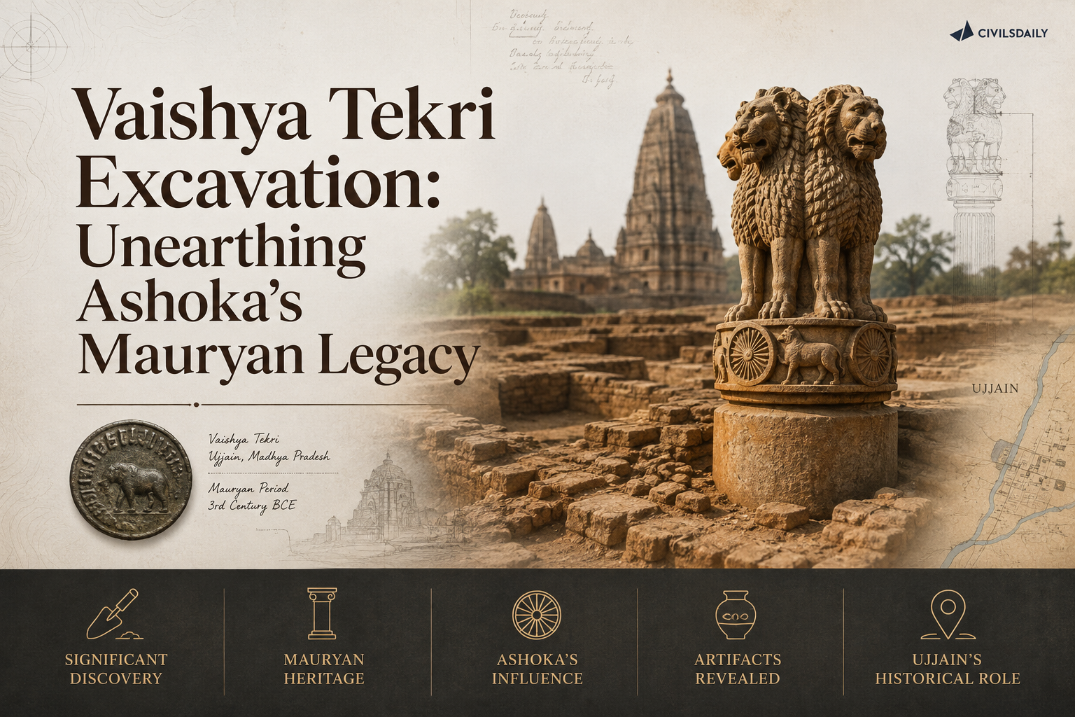
  • Excavation at Vaishya Tekri, Ujjain, sheds light on Ashoka’s Mauryan-era rule

    Excavation at Vaishya Tekri, Ujjain, sheds light on Ashoka’s Mauryan-era rule

    Why in the News

    An ongoing excavation at the Vaishya Tekri mound in Ujjain has uncovered a Buddhist stupa dated to the Mauryan period, adding physical evidence to the tradition that Ashoka served as Mauryan viceroy over Ujjain and the surrounding Avanti province before he became emperor. Ujjain’s connection to Ashoka has so far rested mainly on textual and traditional accounts, including his association with the city of Vidisha and with Devi, traditionally described as his consort during his time there. A dated stupa at Vaishya Tekri gives that tradition an archaeological anchor it did not previously have at this specific site.

    What has the excavation at Vaishya Tekri found?

    1. A Buddhist stupa dated to the Mauryan period: Excavators have uncovered the remains of a stupa, a dome-shaped Buddhist commemorative structure typically built to enshrine relics, at the Vaishya Tekri mound, with the structure’s dating placed within the Mauryan period.
    2. Located at a mound with a known but under-explored history: Vaishya Tekri has long been recognised as an archaeologically significant mound in Ujjain, but the current excavation is what has produced the specific Mauryan-period stupa evidence.
    3. Physical evidence for a previously text-based tradition: The tradition that Ashoka governed Avanti province from Ujjain as a Mauryan prince before becoming emperor has rested on textual and inscriptional sources; a dated Mauryan-period Buddhist structure at Ujjain itself gives that tradition a corresponding physical find.

    How does this connect to Ashoka’s association with Ujjain, Vidisha, and Devi?

    1. Ujjain as Ashoka’s provincial capital under his father: Textual tradition holds that Ashoka was appointed viceroy of Avanti province, governing from Ujjain, during the reign of his father, Bindusara, before Ashoka’s own accession as emperor.
    2. Vidisha’s connection through Devi: Tradition associates Ashoka with Devi, described as his consort during his time in the region, whom he is said to have met at or near Vidisha, a city close to Ujjain within the same Avanti province.
    3. Stupa construction consistent with early Buddhist patronage in the region: A Mauryan-period Buddhist stupa at Ujjain is consistent with the broader pattern of early Buddhist architectural patronage across the Avanti region during and after Ashoka’s association with it, including the well-documented stupas at nearby Sanchi.

    Back2Basics: Vaishya Tekri, Ujjain

    1. An archaeological mound in Ujjain, Madhya Pradesh, long identified as a site of historical significance within the ancient city associated with the Avanti Mahajanapada, one of the sixteen great kingdoms of ancient India.
    2. Ujjain’s ancient layers have previously yielded evidence of settlement dating from well before the Mauryan period, making it one of the longer continuously significant urban sites in central India.
    3. Its Mauryan-period association rests on textual tradition identifying it as the seat of Ashoka’s viceroyalty over Avanti province prior to his accession as emperor.
    4. Sits within the same historical region as Vidisha and Sanchi, both major centres of early Buddhist architectural activity.

    “[2022] Consider the following pairs :
    Site of Ashoka’s major rock edicts Location in the State of
    1. Dhauli — Odisha
    2. Erragudi — Andhra Pradesh
    3. Jaugada — Madhya Pradesh
    4. Kalsi — Karnataka
    How many pairs given above are correctly matched ?
    (a) Only one pair
    (b) Only two pairs
    (c) Only: three pairs
    (d) All four pairs

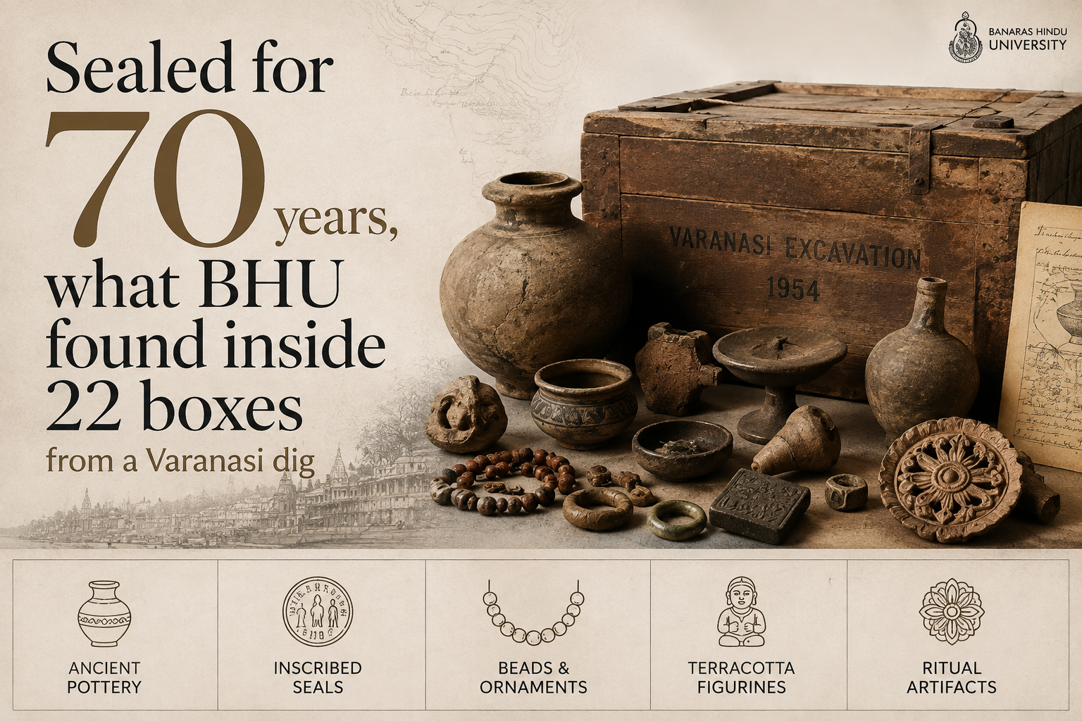
  • Sealed for 70 years, what BHU found inside 22 boxes from a Varanasi dig

    Sealed for 70 years, what BHU found inside 22 boxes from a Varanasi dig

    Why in the News

    Banaras Hindu University (BHU) opened 22 boxes on 20 August 2026 that had lain unopened for nearly 70 years, and found more than 10,000 artefacts, including painted black pottery believed to be nearly 3,000 years old.

    What is the Rajghat archaeological site?

    1. Location: Rajghat lies on the north-eastern edge of Varanasi, near the confluence of the Ganga and the Varuna rivers.
    2. Significance: It is one of the most important archaeological sites in the middle Ganga Valley.
    3. Historical identity: The area was part of ancient Varanasi, which served as the capital of the Kashi kingdom, also known as the Kashi Mahajanapad.
    4. Chronology: Archaeologists have divided the history of the site into six cultural periods, beginning around 800 BC and continuing up to the medieval period.

    What did the 22 boxes contain?

    1. The artefact count: The boxes held more than 10,000 artefacts in total.
    2. The dating anchor: Among them is painted black pottery believed to be nearly 3,000 years old.
    3. The object categories: The boxes contain sculptures, ancient coins, tools, stamp seals and objects made of copper, ivory and bone.
    4. A separate photographic archive: They also held around 3,000 glass slides and more than 5,000 photographic negatives documenting archaeological sites across India, including Rajghat, Manjhi, Ratnagiri, Ajanta and Ellora.
    5. Rare images within the archive: The photographs include rare images of idols of Vishnu, Shiva and Buddha, which are being examined and will be restored as part of the department’s conservation work.
    6. The condition of the containers: The trunks were found in an advanced state of deterioration, which makes the recovery and preservation of the material inside particularly significant.

    Why do the seals and inscriptions matter?

    1. Inscribed seals are present: Several of the seals recovered bear inscriptions, including some written in the Brahmi script.
    2. Who will read them: Researchers specialising in epigraphy at BHU will study them, and experts from other universities may be consulted where specialised expertise is required.
    3. What they can establish: The inscriptions can help researchers understand the scripts, systems of governance, and trade and economic systems of the periods in which they were used.
    4. Seals settled the site’s identity earlier: During the earlier excavations, seals and sealings bearing the name ‘Varanasi’ were found, and these findings helped establish the site’s connection with ancient Varanasi.

    Why did the material stay unstudied for 70 years?

    1. The site was found by accident: The first archaeological remains at Rajghat were discovered in 1939 during the expansion of the Kashi railway station, and were sent to the ASI for examination.
    2. The excavation ran for twelve years: Excavations were carried out jointly by the ASI and BHU between 1957 and 1969, under the supervision of BHU Professor A K Narain and the archaeologist T N Roy.
    3. What the excavations found: They unearthed remains of ancient settlements, including structures believed to be houses, terracotta objects, seals and other artefacts, which allowed researchers to trace the development of human settlement at Rajghat over several centuries.
    4. Documentation stopped short of study: Professor Narain documented the excavations in four volumes, and a large part of the material recovered was not studied in detail.
    5. The techniques did not exist then: The Vice-Chancellor noted that the objects were excavated at a time when advanced scientific techniques for archaeological research were not available in India.

    What happens to the material now?

    1. Three research teams have been formed: The department has constituted three specialised research teams to conserve and document the material.
    2. The stated purpose: The department has undertaken advanced research on its archaeological collections to allow scholars to reassess historical chronologies and produce new insights into ancient Indian civilisation.
    3. A parallel recovery is already under way: A month earlier, experts opened a box containing a human skeleton recovered from the same site, which had also remained sealed for around 70 years.
    4. Ancient DNA work has begun: A team specialising in ancient DNA collected samples from that skeleton for genetic and bio-archaeological analysis.
    5. What that analysis is expected to yield: The analysis is expected to provide clues about the people who lived in Varanasi around 1,000 years ago.

    “[2024] Consider the following information:

    Archaeological Site :: State :: Description

    1. Chandraketugarh : Odisha : Trading Port town

    2. Inamgaon : Maharashtra : Chalcolithic site

    3. Mangadu : Kerala : Megalithic site

    4. Salihundam : Andhra Pradesh : Rock-cut cave shrines

    In which of the above rows is the given information correctly matched?

    (a) 1 and 2 only

    (b) 2 and 3 only

    (c) 3 and 4

    (d) 1 and 4

  • Ujjain’s Giant Stupa: Was Vaishya Tekri Bigger Than Sanchi?

    Why in the News

    Madhya Pradesh plans to excavate and restore Vaishya Tekri in Ujjain, a major mound believed to contain a Mauryan-era stupa. ASI suggests it may have been larger than the Sanchi Stupa, but its association with Ashoka remains unproven.

    What is Vaishya Tekri?

    • Located in Ujjain, an important Mauryan-era centre.
    • Excavated first in 1938-39 by the erstwhile Gwalior State.
    • Identified as a major stupa, not a natural mound.
    • 1938 report estimated its base at about 350 ft diameter and height at 100+ ft.
    • Dating to the 3rd century BCE was suggested from brick dimensions and coins.

    Key Archaeological Evidence

    • Core made of rammed blackish murum.
    • Exterior faced with brick masonry and mud mortar.
    • Finds included:
      • Punch-marked coin
      • Cast Avanti coin
    • A moat surrounded the stupa, with a western passage for worshippers.
    • An unusual bowl-shaped masonry base helped resist lateral thrust.

    Ashoka Connection

    • Tradition associates Ujjain with Ashoka’s viceroyalty.
    • However, the 1938 excavation did not establish an Ashokan connection.
    • The report only stated that the stupa could possibly be one of the stupas attributed to Ashoka.
    • Brick size and coins establish a period, not the identity of the patron.

    Prelims Quick Facts

    • Vaishya Tekri: Ujjain, Madhya Pradesh
    • Period: Mauryan, 3rd century BCE
    • Monument: Buddhist stupa
    • First excavation: 1938-39
    • Estimated diameter: ~350 ft
    • Sanchi Stupa height: ~54 ft
    • Key coin: Punch-marked coin
    • Agency: Archaeological Survey of India

    “[2026] Which of the following statements on the Amaravati Stupa and its relief sculpture is/are correct?
    1. It was located in the lower Krishna valley.
    2. In India, it was next only to the Sanchi Stupa in size.
    3. The Amaravati school of sculpture made a lasting impact on the later South Indian sculpture, and its products were carried to Sri Lanka and South-east Asia.
    (a) 1 only
    (b) 1 and 3 only
    (c) 2 and 3 only
    (d) 1, 2 and 3

  • ICMR-NICPR validates oral therapy SHetA2 to block HPV’s cancer causing proteins

    Why in News?

    The Indian Council of Medical Research-National Institute of Cancer Prevention and Research (ICMR-NICPR) has validated an oral small molecule therapy, SHetA2, that blocks Human Papillomavirus (HPV)’s cancer causing proteins, potentially treating pre-cancerous and cancerous cervical lesions. The molecule has been transferred to Emcure for larger human trials.

      Key Highlights

      1. Therapy: SHetA2, an oral small molecule drug.
      2. Mechanism: Blocks HPV oncoproteins (E6 and E7), which drive cervical cancer development.
      3. Target: Designed to treat pre-cancerous (CIN) and cancerous cervical lesions.
      4. Validating body: ICMR-National Institute of Cancer Prevention and Research (ICMR-NICPR).
      5. Next stage: Technology transferred to Emcure for advanced human clinical trials.
      6. Significance: Represents a potential non-surgical, oral treatment for HPV-related cervical disease.

      What is Human Papillomavirus (HPV)?

      1. HPV is a common DNA virus that infects the skin and mucous membranes.
      2. It is transmitted mainly through sexual contact.
      3. Persistent infection with high-risk HPV types, especially HPV-16 and HPV-18, is the leading cause of cervical cancer.
      4. HPV is also associated with cancers of the anus, vulva, vagina, penis and oropharynx.

      How Does SHetA2 Work?

      1. Inhibits the activity of HPV’s E6 and E7 oncoproteins.
      2. Restores the function of tumour suppressor proteins (p53 and Rb), allowing abnormal cells to undergo programmed cell death (apoptosis).
      3. May help prevent progression from pre-cancerous lesions to invasive cervical cancer.

      Significance

      1. Offers a non-invasive oral treatment option for HPV-related cervical lesions.
      2. May reduce the need for surgical procedures in early-stage disease.
      3. Supports India’s efforts to reduce the burden of cervical cancer, one of the most common cancers among women.
      4. Demonstrates the growing role of indigenous biomedical research and public-private collaboration.

      Government Initiatives

      1. National Programme for Prevention and Control of Non-Communicable Diseases (NP-NCD) includes cervical cancer screening.
      2. Introduction of Cervavac, India’s indigenous HPV vaccine, to expand cervical cancer prevention.
      3. Promotion of HPV vaccination, screening and early diagnosis under national health programmes.

      [2021] Consider the following statements:
      1. Adenoviruses have single-stranded DNA genomes whereas retroviruses have double-stranded DNA genomes.
      2. Common cold is sometime caused by an adenovirus whereas AIDS is caused by a retrovirus.
      Which of the statements given above is/are correct?

      [A] 1 only

      [B] 2 only

      [C] Both 1 and 2

      [D] Neither 1 nor 2

    1. India Adds 709 New Species to Its Biodiversity Database
      Why in News?

      India added 709 new species to its faunal database and 353 plant taxa in 2025, reaffirming its status as one of the world’s mega-diverse countries.

      Faunal Discoveries

      • 709 additions: 483 species new to science. 226 species recorded for the first time in India.
      • Total recorded fauna: 1,05,953 species.
      • Top States: Kerala (98), West Bengal (76), Karnataka (67), and Arunachal Pradesh (65)
      • Major Groups: Hymenoptera (106), Lepidoptera (65), Diptera (64), Arachnida (64), Coleoptera (55), and Pisces (50)
      • Notable Discoveries
        • Myotis himalaicus (Himalayan bat)
        • Ptyctolaemus mamdaphaensis & P. siangensis (green fan-throated lizards)
        • Lycodon irwini (Irwin’s wolf snake)

      Floral Discoveries

      • 353 plant taxa added: 221 new to science. 132 new distributional records.
      • Top States: Arunachal Pradesh (49), Uttarakhand (39), and Kerala (37)
      • Composition: Angiosperms: 154, Pteridophytes: 3, Bryophytes: 13, Lichens: 62, Fungi: 93, Algae: 22, Microbes: 6
      • Notable Discoveries
        • Polystichum siangense (fern)
        • Miliusa beddomei (custard apple relative)
        • Hericium indicum (edible tooth fungus)

      [2022] With reference to “Gucchi” sometimes mentioned in the news, consider the following statements:
      1. It is a fungus.
      2. It grows in some Himalayan Forest areas.
      3. It is commercially cultivated in the Himalayan foothills of north-eastern India.
      Which of the statements given above is/are correct?

      [A] 1 only

      [B] 3 only

      [C] 1 and 2

      [D] 2 and 3